

4300 m a.s.l.
Laguna Tullpacocha
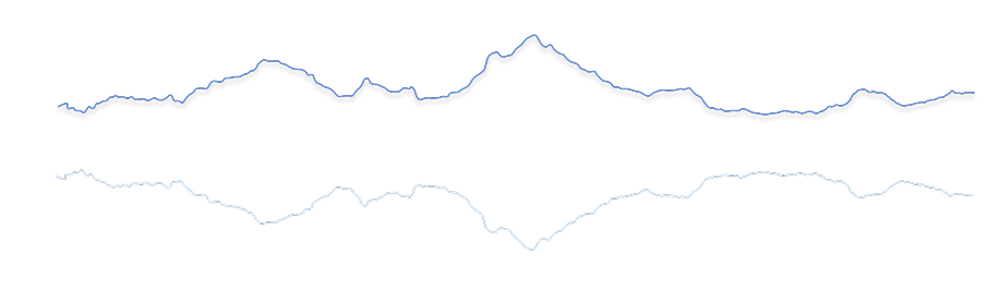
24.5 km Distance
739 m Elevation gain
7h30 Duration
Moderate Difficulty
Recommended
May - Septemberbut it can be done all year round.
Ideal for
discovering a little-visited lake.
Access
Shared minibus or private car.How to get there

From Huaraz
Take a taxi, shared minibus or private transport towards the Quilcayhuanca checkpoint, 3km beyond Pitec.

50 min
Approximately, passing rural communities and cultivated fields.
Quilcayhuanca checkpoint
The route is part of Parque Nacional Huascarán.

Start of the trek
Begin the approximately 4-hour hike to the lake.

Description
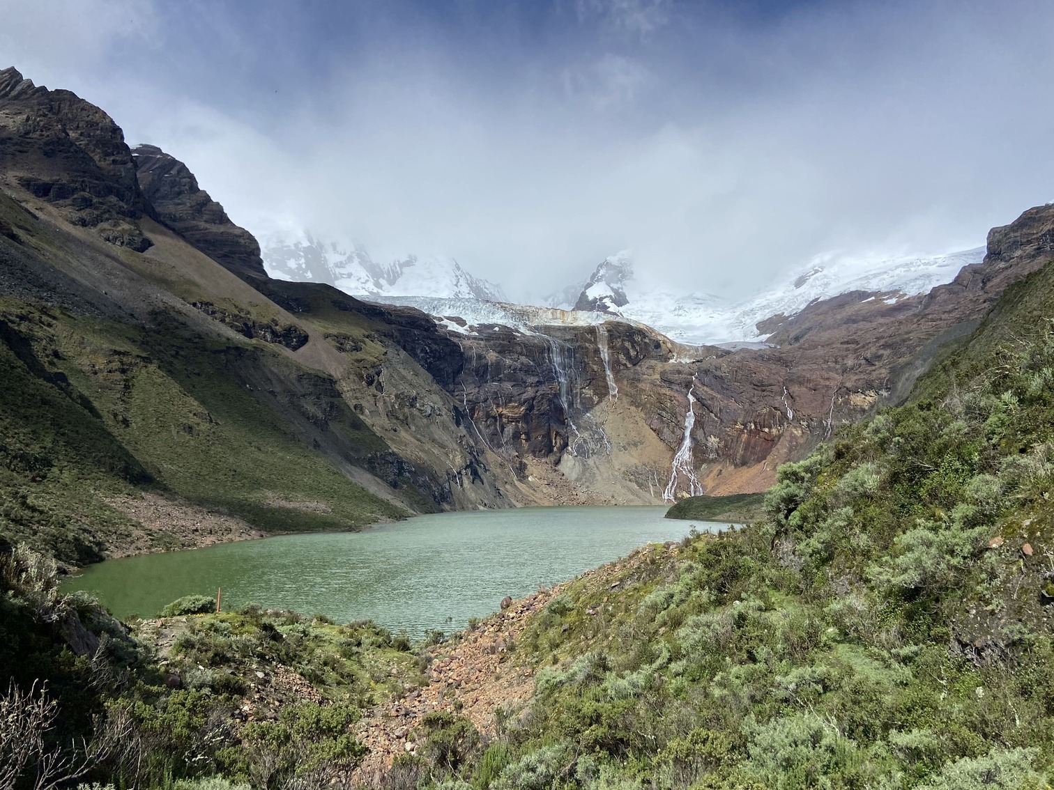
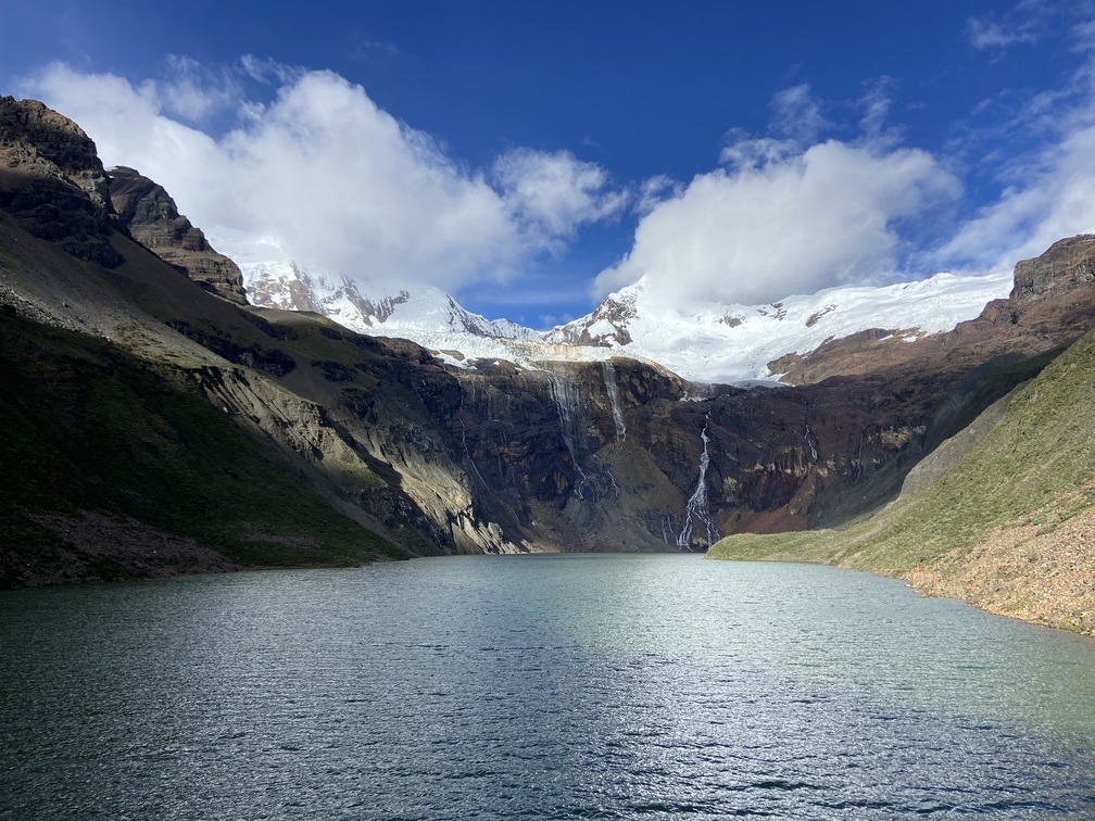
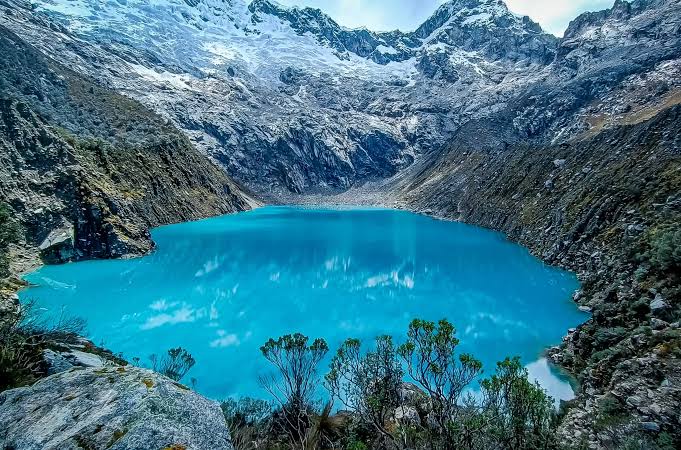
Laguna Tullpacocha lies in quebrada Quilcayhuanca, a broad glacial valley near Huaraz. Its waters, fed by meltwater from Tullparaju, are surrounded by great mountains of the Cordillera Blanca, such as Tullparaju and Cayesh.
The route begins at Portada de Quilcayhuanca, where you can see cave paintings from the Early Horizon period. Its name comes from Quechua: qillqay means “to write” and huanka means “vertical monolith”. From here, the hike crosses a very broad valley with vast plains, old herding trails and constant views towards Andavite (5518 m).
On days with changing light, rainbows can often be seen over Tullpacocha's waters, creating a very special landscape.
Although the walk to Tullpacocha is long, most of the route follows a gentle slope along the valley floor. It can therefore be done in a single day or with camping. In the latter case, we recommend doing the entire Quilcayhuanca trek (3 days). There is also the option of extending the route only as far as Cuchillacocha (add 5km | +350m | 3h).
Did you know?
Acid rock drainage (ARD) has been recorded in the Quilcayhuanca basin, where glacial retreat exposes minerals that generate acidity and release metals when they come into contact with water and oxygen. This threatens ecosystem integrity and has negative economic and social impacts on local populations that depend on the basin's water and biological resources.
There are 17 monitoring points in the basin, observing both water quantity and quality.


Flora and fauna
- Queñual trees
- Quishuares
- Ichu
- Wild lupin
- Andean flowers such as shallga
- Cultivated fields
- Andean foxes
- Vizcachas
- Caracaras
- Condors
- Livestock
Recommendations
Hiking shoes
Cap or hat
Sunglasses
Warm jacket
Rain jacket
Sunscreen
Water
Snacks and/or lunch
Map
Map of Laguna Tullpacocha
GPS track to be added.
Trails can change. Do not use this space as a navigation guide.
Similar options
 Moderate



 Moderate
 Moderate
 Moderate
 Moderate