

4550 m a.s.l.
Laguna Ahuac
7 km Distance
800 m Elevation gain
4h Duration
Advanced Difficulty
Recommended
May–Septemberbut it can be done all year round.
Ideal for
training or acclimatisation in preparation for a mountain ascent
Access
Taxi, shared minibus or private car.How to get there

From Huaraz
Take a taxi beyond Wilcahuain (approx. 3750 m a.s.l.), or shared transport towards Wilcahuain and get off by the museum (add 5 km | +350 m | 2h).

40 min – 1h
Approximately, by car, climbing via El Pinar, then following a dirt road from Wilcahuain to the trailhead.
Wilcahuain
Get off at the Ahuac trailhead above Wilcahuain. The route is part of Parque Nacional Huascarán.

Start of the trek
Walk to laguna Ahuac. You can return from the lake or continue towards Paso del Zorro.

Description
The route forms part of the walk towards Paso del Zorro, one of the most spectacular one-day traverses in Huaraz. This is usually the first lake visited before continuing the climb to the pass. However, it can also be done as a separate hike, returning from the lake. Its higher altitude and elevation gain make it a good option for those wishing to acclimatise before climbing a mountain or undertaking a multi-day trek.
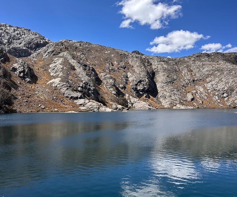
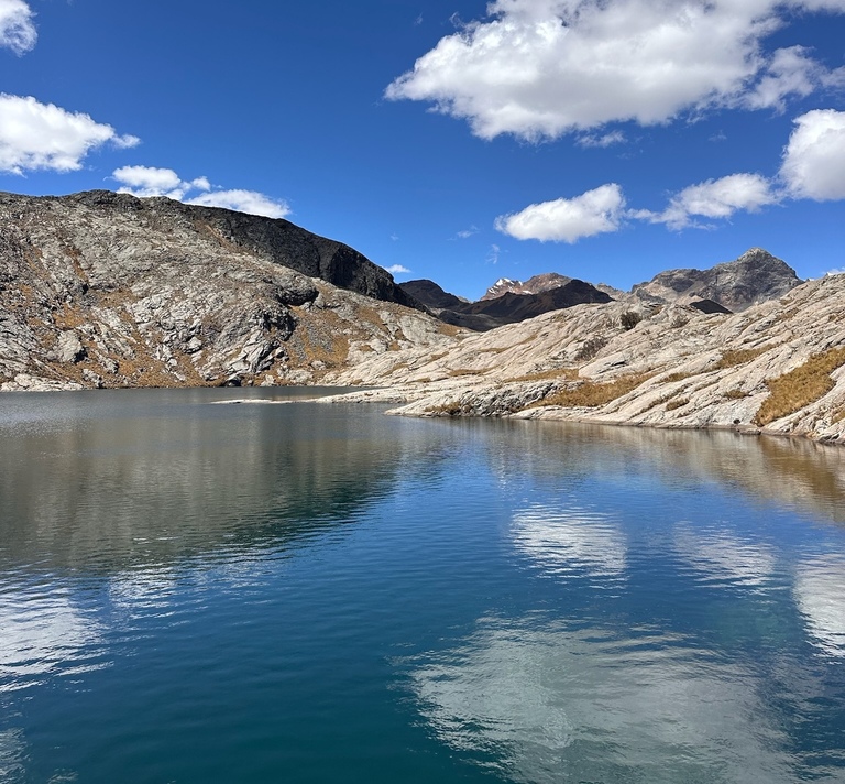
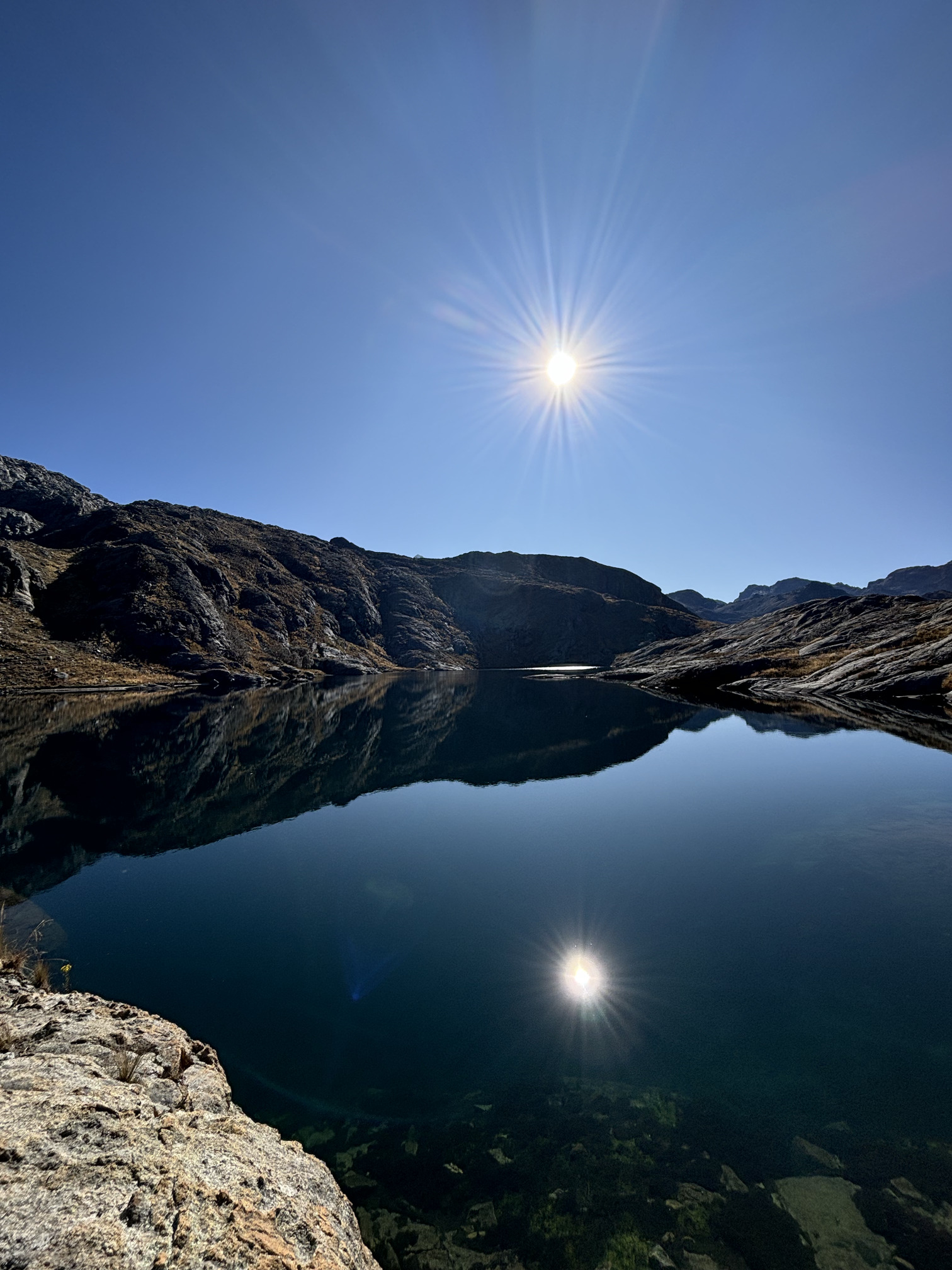
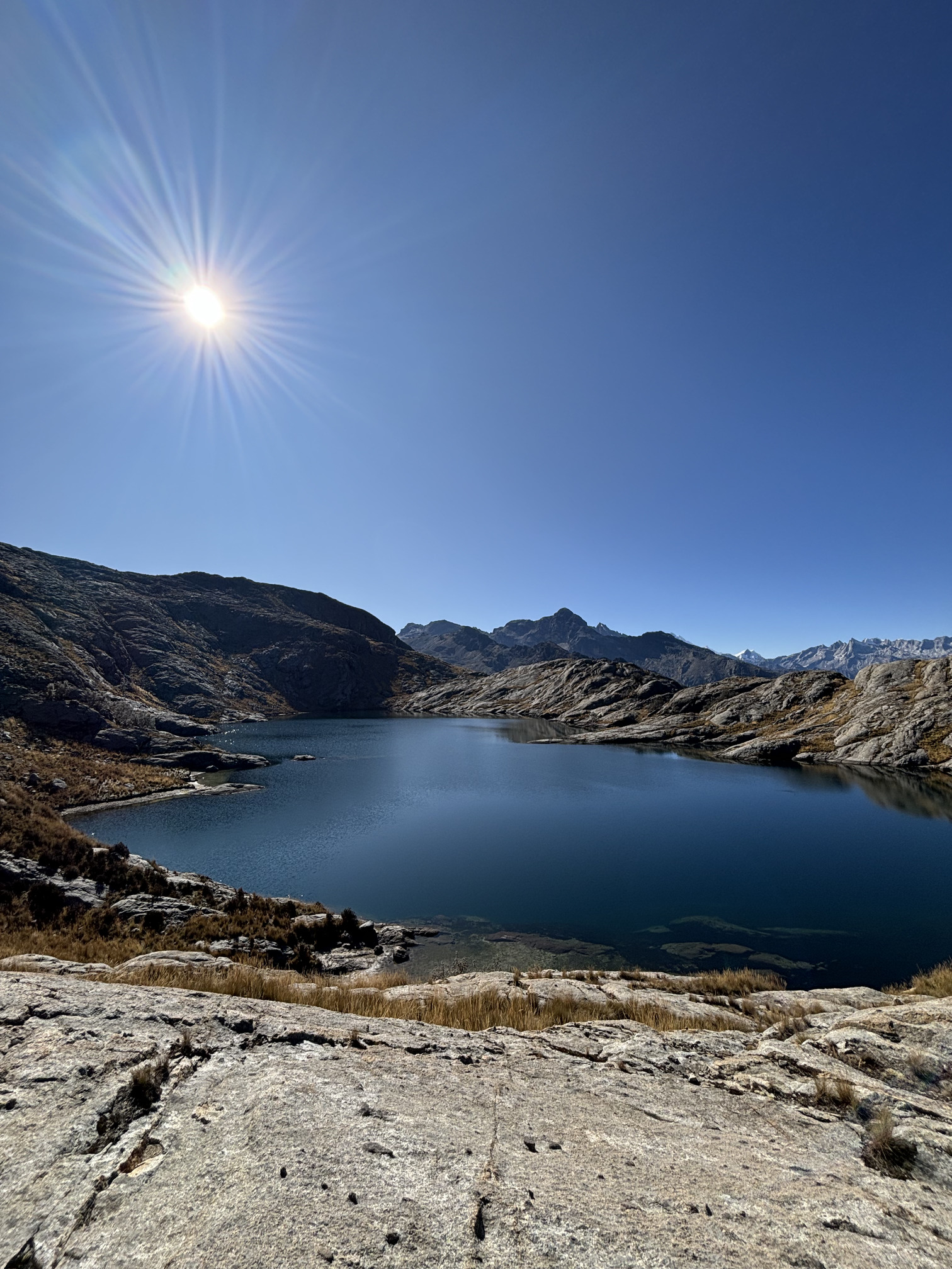
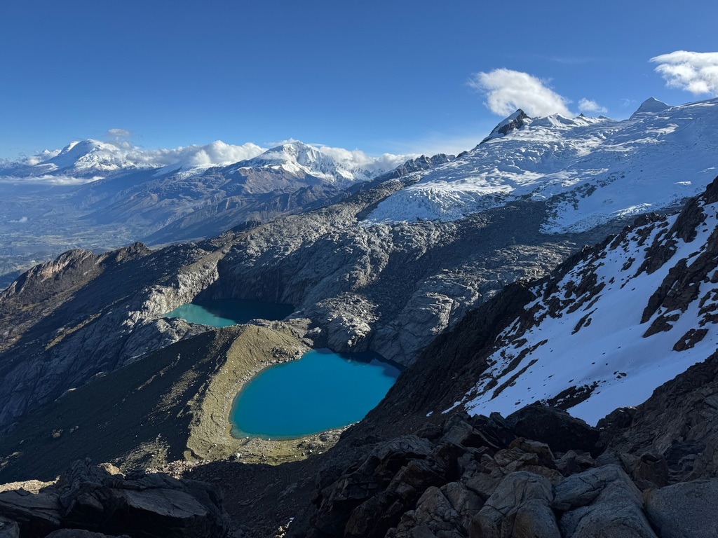
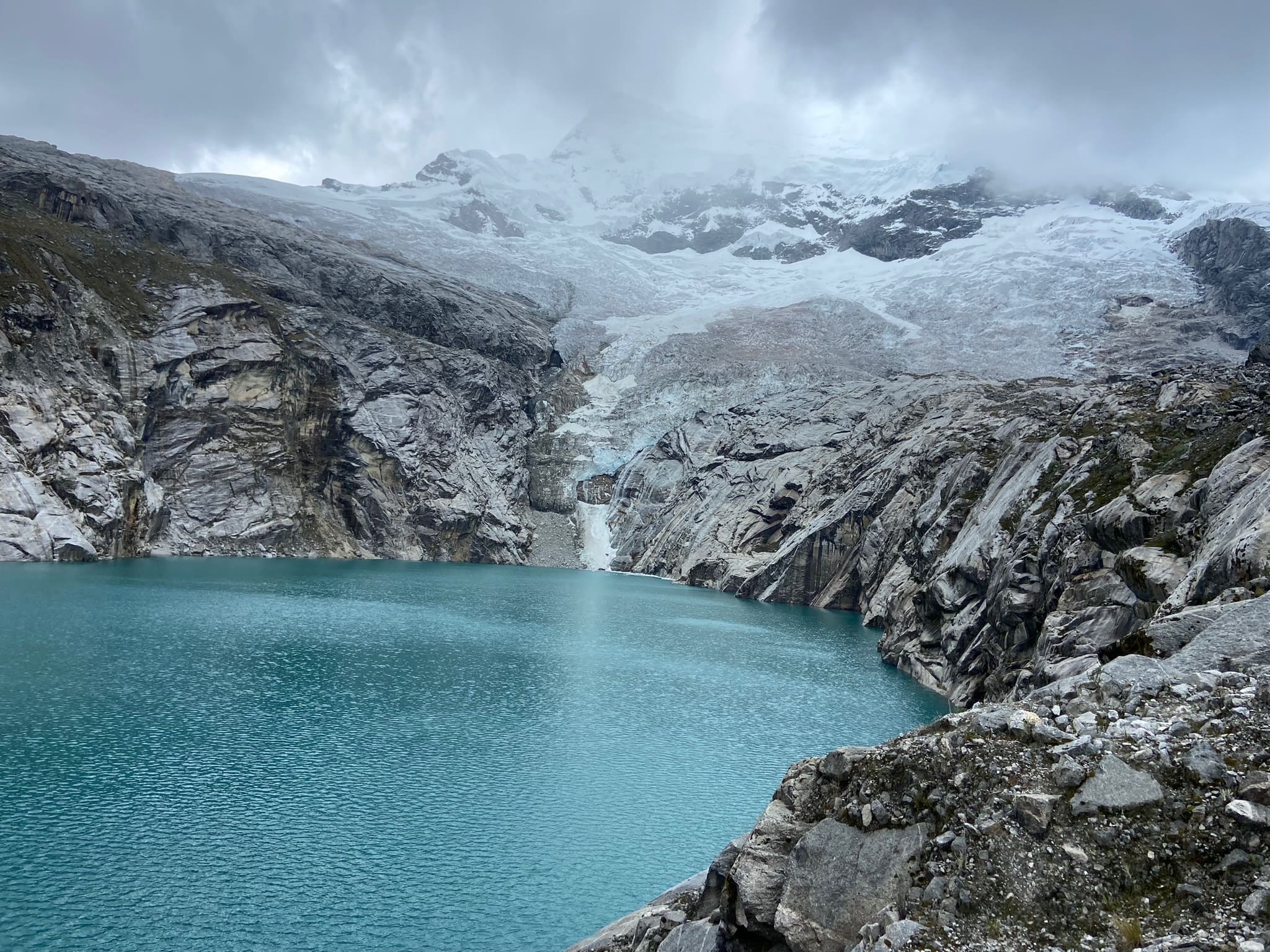
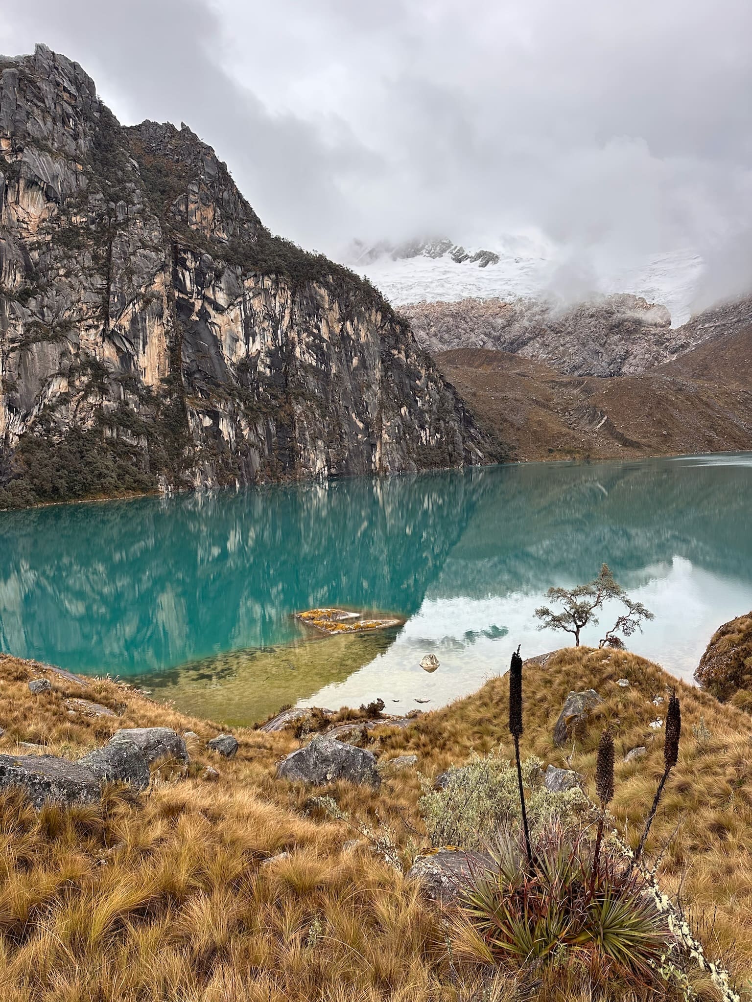
The trail is mostly rocky and offers views of Vallunaraju, Churup, Huamashraju and Cashan, as well as the Huaraz valley. The lake has dark blue and turquoise waters, surrounded by rocky slopes and high-Andean grasslands. As the route is little visited, it is common to meet very few people during the hike.


Flora and fauna
- Queñual trees
- Wild lupin
- Andean flowers such as shallga
- Mosses and lichens
- Cultivated fields
- Ichu
- Vizcachas
- Hummingbirds
- Caracaras
- Condors
- Livestock
Recommendations

Hiking shoes
Cap or hat
Sunglasses
Warm jacket
Rain jacket
Sunscreen
Water
Snacks and/or lunch
Map
Map of Laguna Ahuac
GPS track to be added.
Trails can change. Do not use this space as a navigation guide.
Similar options
 Advanced



 Advanced
 Advanced