

4980 m a.s.l.
Paso del Zorro
17.6 km Distance
1300 m Elevation gain
8h Duration
Advanced Difficulty
Recommended
May–Septemberbut it can be done all year round.
Ideal for
panoramic views of the Cordillera Blanca and preparation for a mountain ascent
Access
Taxi, shared minibus or private car.How to get there

From Huaraz
Take a taxi beyond Wilcahuain, or shared transport towards Wilcahuain and get off by the museum (add 5 km | +350 m | 2h).

1h
Approximately, by car, climbing via El Pinar, then following a dirt road from Wilcahuain to the trailhead.
Wilcahuain
Get off at the Ahuac trailhead above Wilcahuain. The route is part of Parque Nacional Huascarán.

Start of the trek
Begin the approximately 4-hour-15-minute hike to Paso del Zorro.

Description
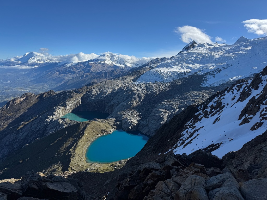
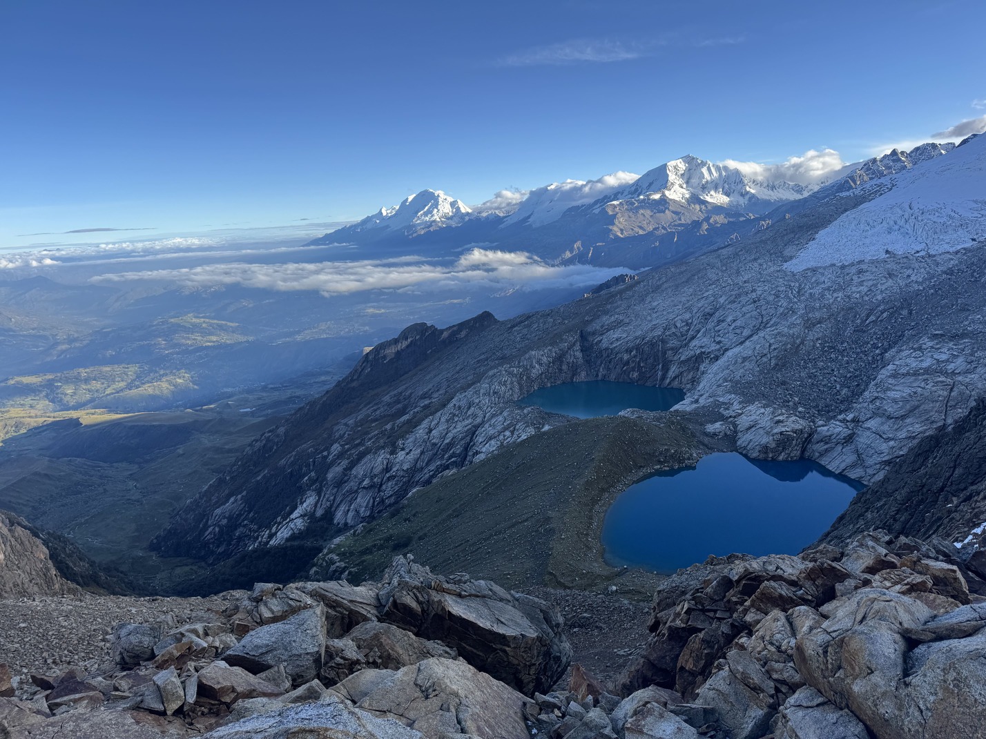
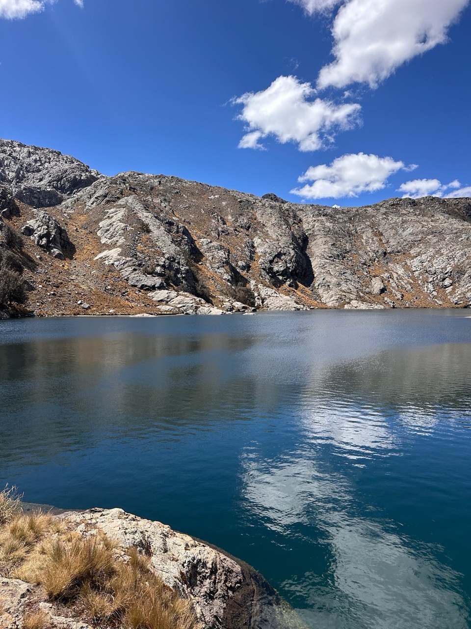
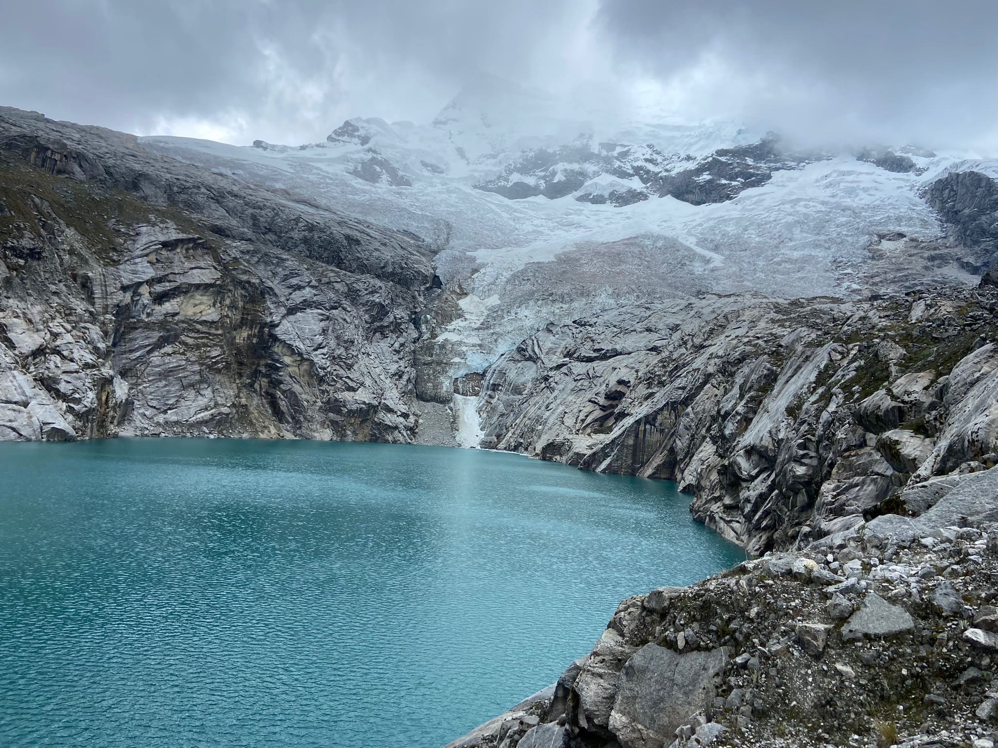
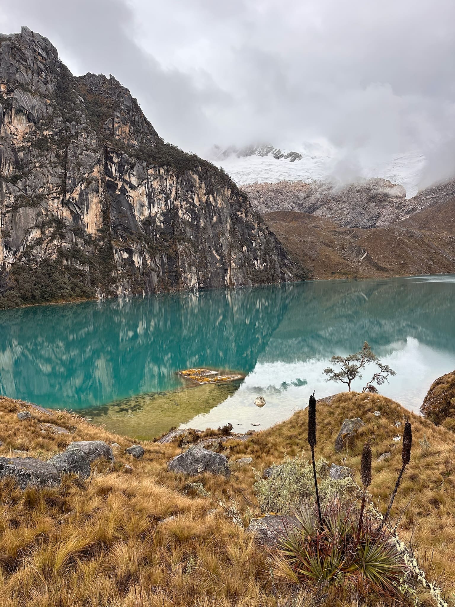
Paso del Zorro is one of the most varied one-day hikes around Huaraz and offers some of the Cordillera Blanca's best views. The route connects four glacial lakes of different colours and passes through queñual forests, waterfalls and high-Andean wetlands, with views opening towards both the Cordillera Blanca and Cordillera Negra.
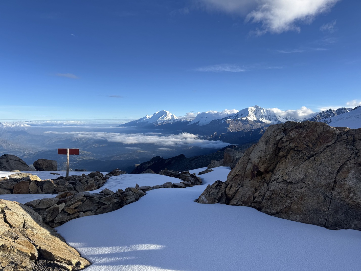
The route's highest point is Paso del Zorro, at almost 5000 m a.s.l. From there, you can enjoy some of the area's finest views, with lagunas Mullaca, Carhuac and Radián on one side, Laguna Ahuac on the other, and some of the highest and most imposing peaks, including Huascarán, Chopicalqui, Copa and Huandoy.
Thanks to its altitude and elevation gain, this route is excellent for acclimatisation before climbing a mountain or undertaking a multi-day trek. Starting from the Ahuac side is recommended, as this stretch has the steepest climb and it is more comfortable to ascend there and descend on the Mullaca side.
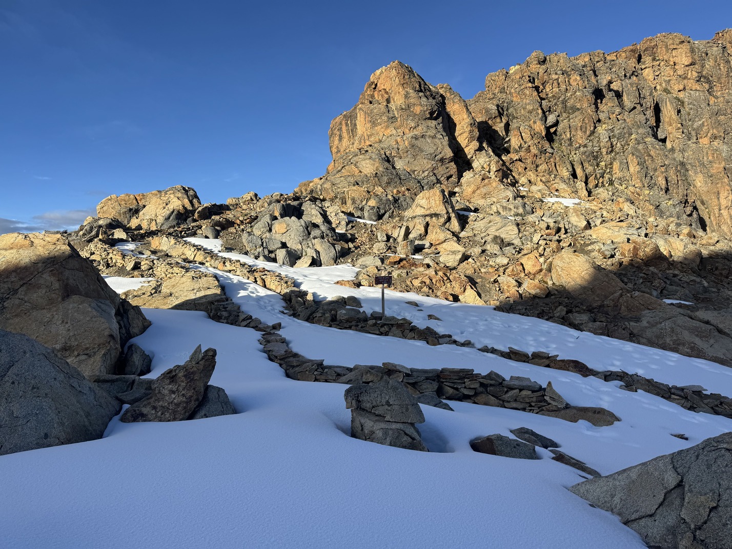
Because of its length, elevation gain and possible snow conditions at the pass, this route is recommended for experienced, well-acclimatised hikers. Depending on the month, snow may cover the trail markers, so check route conditions beforehand and carry a map or GPS app.


Flora and fauna
- Queñual trees
- Wild lupin
- Andean flowers such as shallga
- Mosses and lichens
- Ichu
- Andean foxes
- Vizcachas
- Hummingbirds
- Caracaras
- Condors
- Livestock
Recommendations

Hiking shoes
Cap or hat
Sunglasses
Warm jacket
Rain jacket
Sunscreen
Water
Snacks and/or lunch
Map
Download GPXLoading the reference route…
Reference route · arrows indicate GPX directionStartFinish
Reference route only. Paths and conditions may change. Download the GPX before your trip; it does not replace preparation or assessment of the terrain.
Similar options
 Advanced



 Advanced
 Advanced