

4350 m a.s.l.
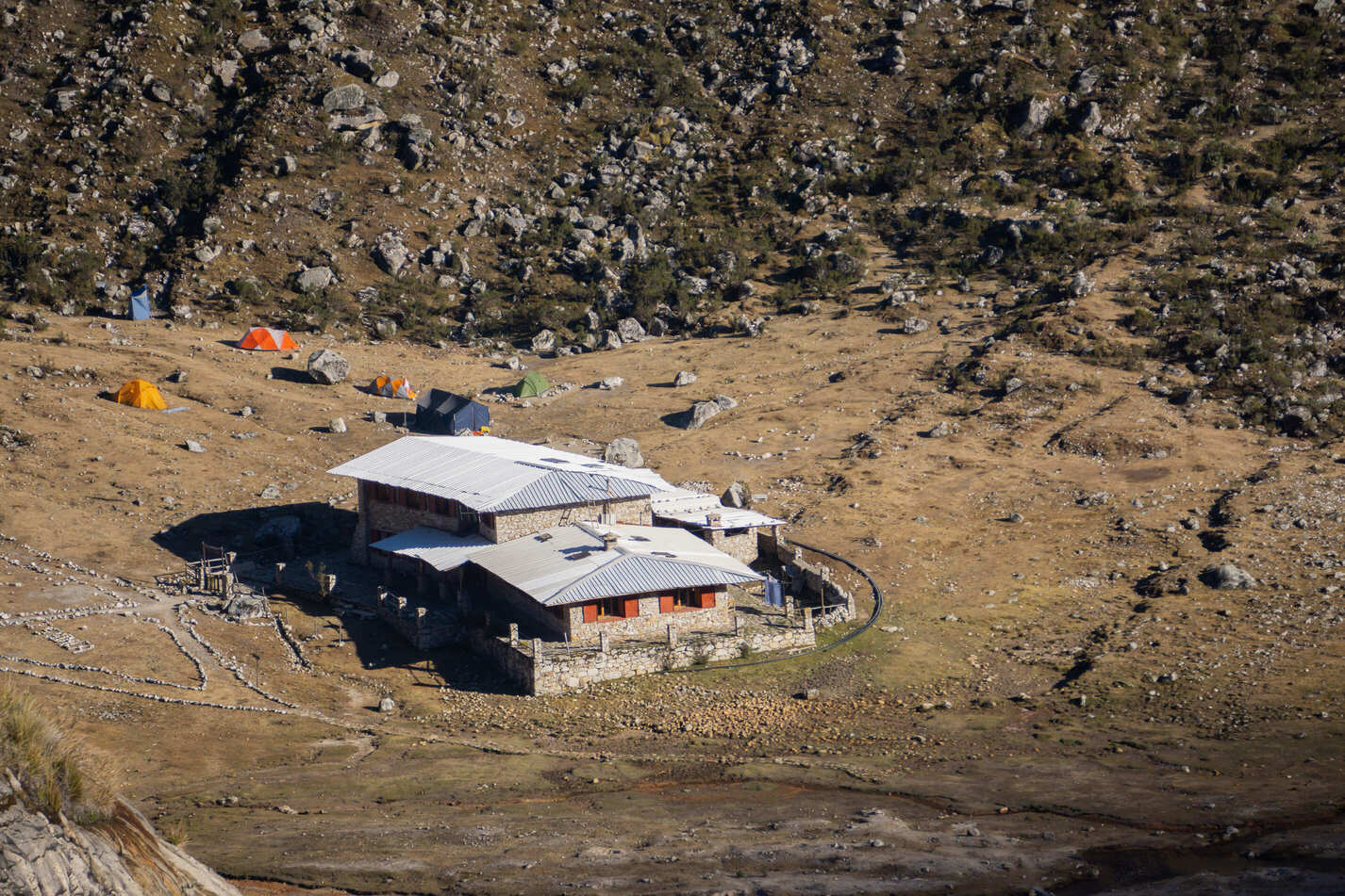
Refugio de Ishinca
13 km Distance · one way
780 m Elevation gain
4h30 Duration · one way
Moderate Difficulty
Recommended
May - Septemberbut it can be done all year round
Ideal for
acclimatisation, various multi-day treks or climbing Toclla or Ishinca
Access
Shared minibus + taxi, tour or private car.How to get there

From Huaraz
Take a taxi, shared minibus or private transport towards Carhuaz, heading to Puente Paltay.

1h20
Approximately, taking the turn-off towards Pashpa as far as laguna Cochapampa.
Laguna Cochapampa
Start of the hike, part of Parque Nacional Huascarán.
1h20
Approximately, to Huaraz.

Description
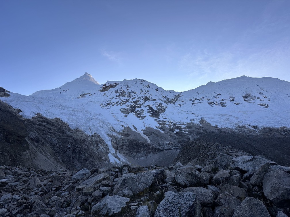
Refugio Ishinca lies in the Ishinca valley and is the main starting point for ascents of Ishinca, Urus and Tocllaraju. The area also offers good climbing options, and from here you can undertake multi-day hikes towards the Akilpo, Cojup and Quilcayhuanca valleys, or visit laguna Milluacocha.
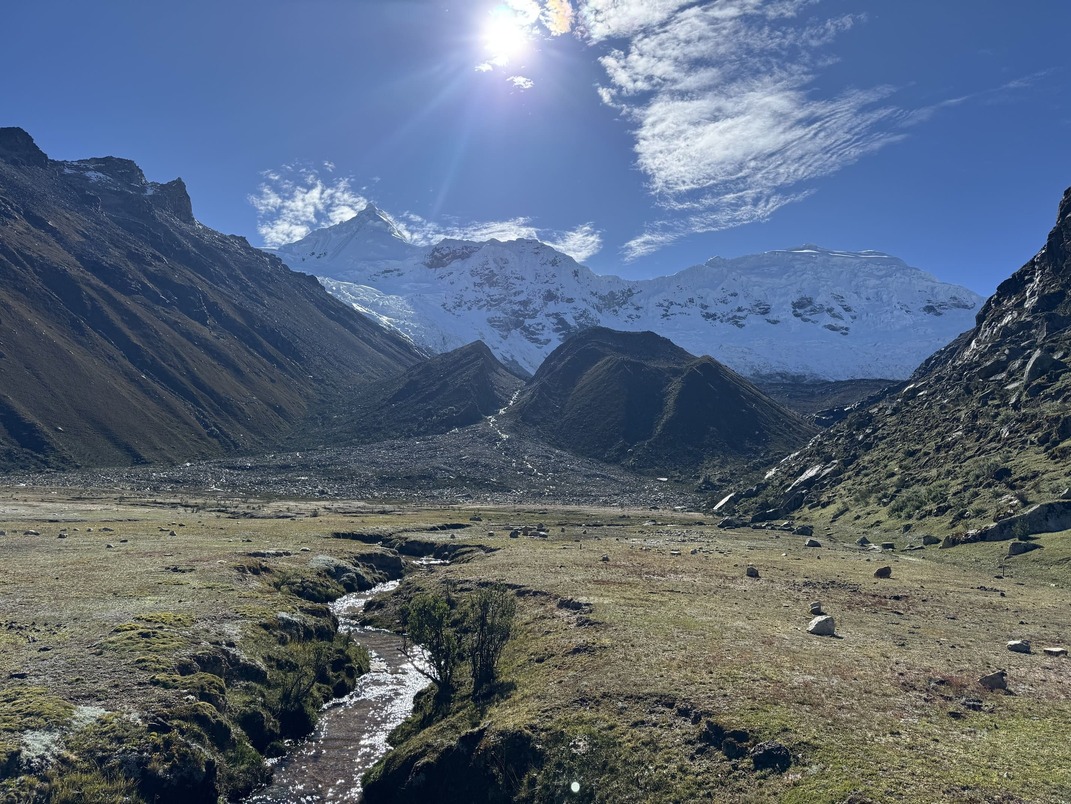
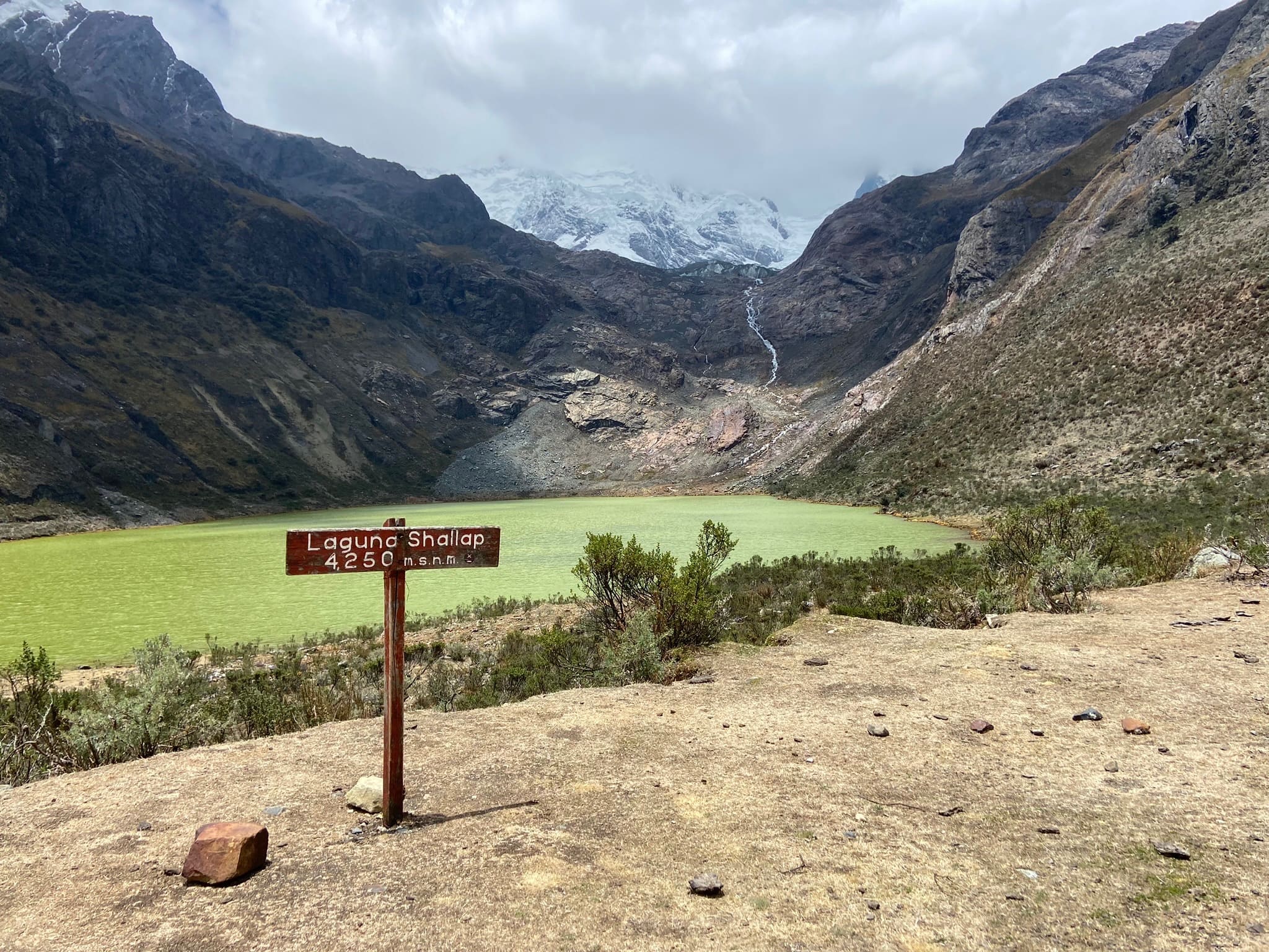
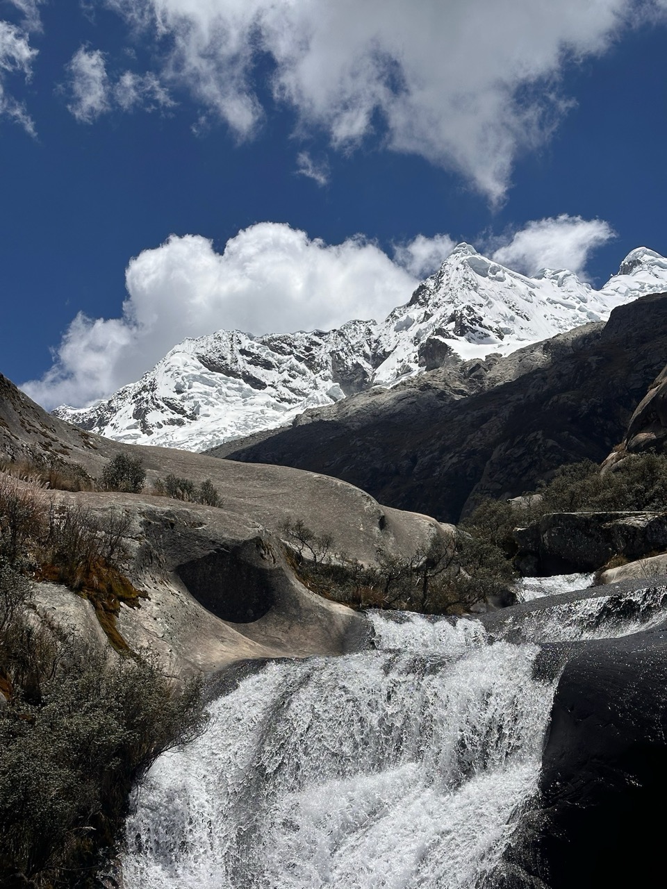
The trail to the refuge is particularly beautiful for its varied landscapes. At first, it passes small communities and cultivated areas before entering open grassland and continuing alongside the river. As you gain height, the landscape changes and the trail crosses sections of queñual forest, then opens again between rock walls, waterfalls and grazing areas where livestock is common.
To reach the trailhead, taking a taxi is recommended, or joining a tour heading to Ishinca or Tocllaraju and paying only for transport. You can also take a shared minibus to Puente Paltay and continue by taxi, arranging it with the driver beforehand.
Return along the same trail in the opposite direction (12 km | -788 m | 3h30 min).

About the refuge
Services
- 36 beds in a shared dormitory (bring a sleeping bag)
- Breakfast, lunch and dinner
- Toilets with hot showers
- Electricity
Rates
Generally available May–September.
- Accommodation (bed only): S/ 80
- Basic (accommodation + breakfast): S/ 120
- Half board (accommodation + breakfast + dinner): S/ 180

The construction and management of Refugio de Ishinca are undertaken by Operación Mato Grosso, a volunteer organisation that develops social and educational projects in Andean communities.
All refuge income goes towards supporting these initiatives.
Map
Map of Refugio de Ishinca
GPS track to be added.
Trails can change. Do not use this space as a navigation guide.
Similar options
 Moderate



 Moderate
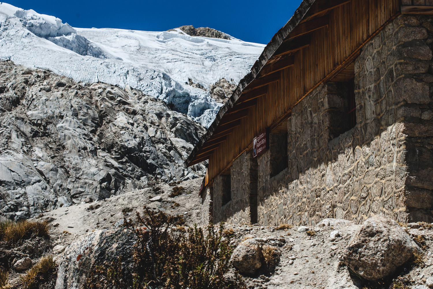
Vivaque Giordano Longoni
High-altitude bivouac beside Laguna Ishinca
4 km
2h30
580 m
 Moderate
 Moderate
 Moderate
 Moderate
 Moderate
 Moderate