
 Cedros–Alpamayo — photo pending
 Cedros–Alpamayo — photo pending
 Cedros–Alpamayo — photo pending
 Cedros–Alpamayo — photo pending
Cedros–Alpamayo
60.5 km Distance
4360 m Elevation gain
7 days Duration
Advanced Difficulty

Recommended
May - September but it can be done all year round
Ideal for
experienced hikers looking to enjoy remote landscapes
Access
Tour or shared minibus + taxi.How to get there
From Huaraz
Take a shared minibus to Caraz, then a taxi to the village of Hualcayán.
1h30
Approximately, to the Hualcayán fish farms, where the hike begins. The hike is part of Parque Nacional Huascarán.
Pomabamba
Bus schedules vary by season, but Renzo, located one block from the square, has the most departures.
8h
Approximately, to Huaraz.


Description
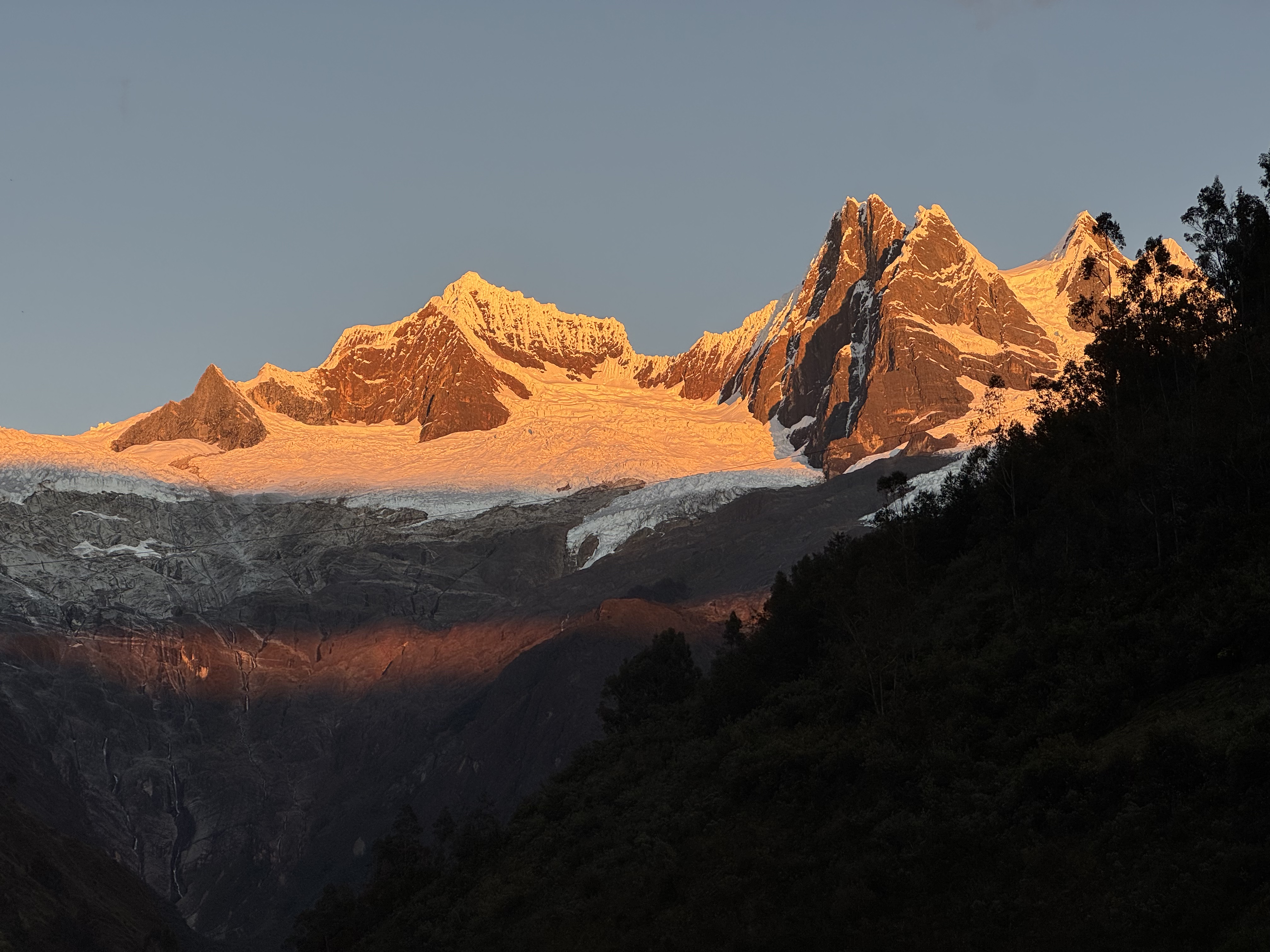
The Cedros–Alpamayo trek is one of the most spectacular routes in the Cordillera Blanca, standing out for the great variety of landscapes it offers in just a few days: intensely turquoise lakes, snow-capped peaks that seem close enough to touch, broad green valleys and queñual forests.
It is now a quiet route, allowing you to enjoy the surroundings with a sense of calm and isolation, although it was once one of the area's best-known treks. A map is essential; in particular, a stretch near Sactaycocha is not marked.
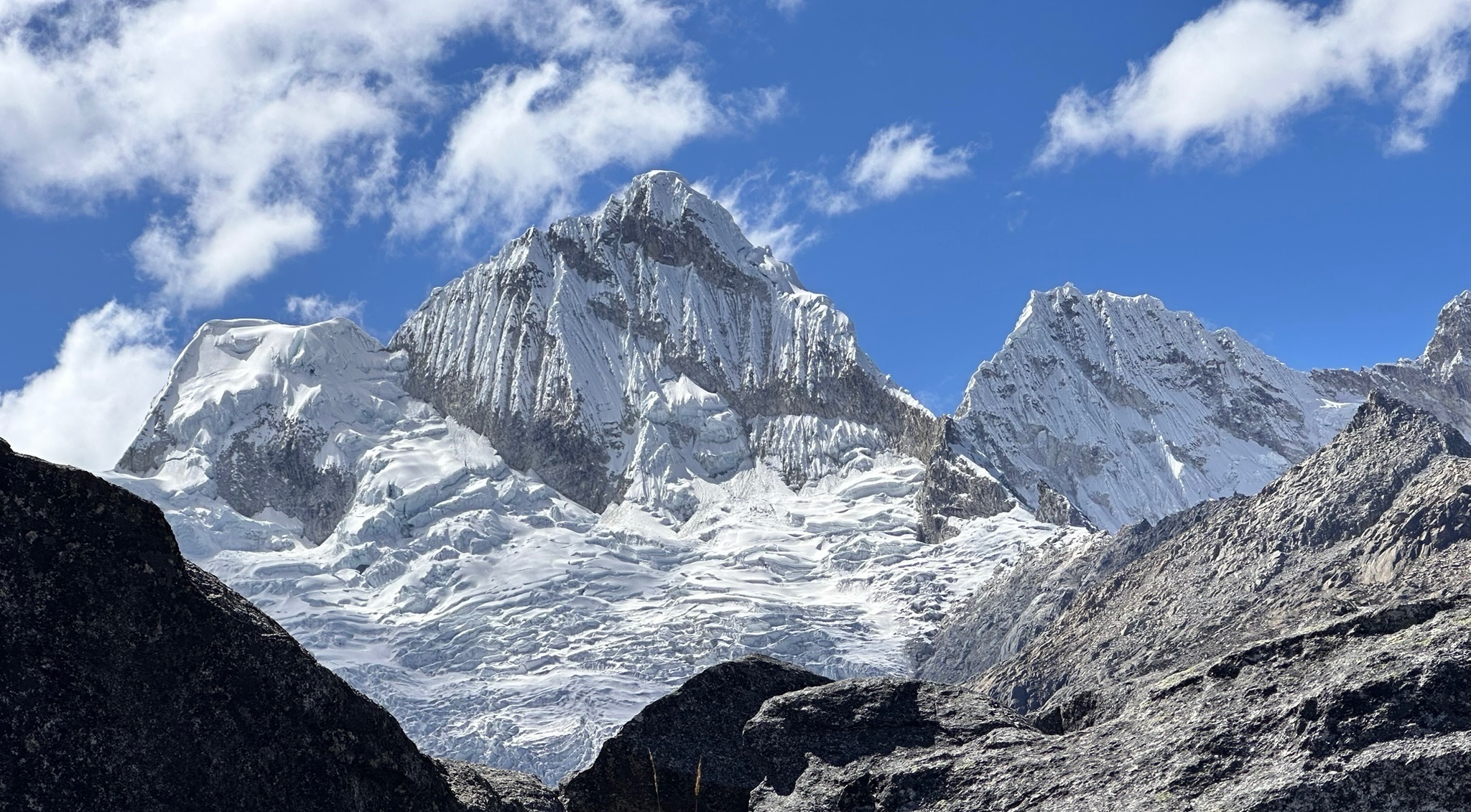
One of the most memorable highlights is the view of Alpamayo, whose almost perfectly pyramidal shape is revealed from Jancarurish. The Osoruri, Cara Cara and Mesapata passes also offer spectacular views, as does Jancapampa. The route can also be combined with the Santa Cruz circuit (from either direction).
Itinerary (7 days)
Day 1 Hualcayán (3130 m a.s.l.) – Huishcash (4300 m a.s.l.)
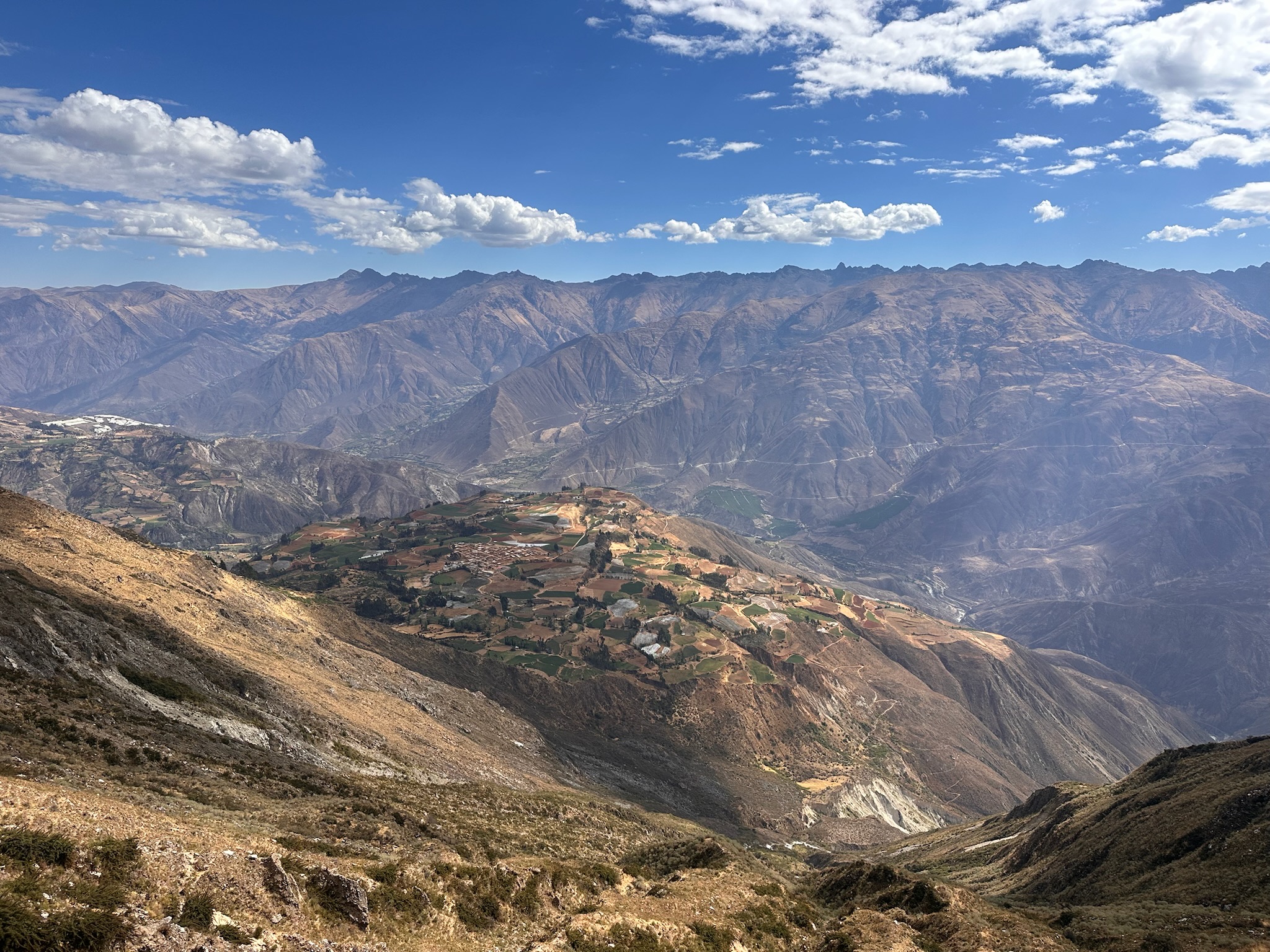
7.5km | +1150m | 5h (from the village add: 1.5km | +100m | 40min)The route zigzags uphill along a dirt trail, where it is common to meet local herders with their animals. As you gain height, increasingly broad views open up over the village, terraced fields and the entire valley, with the Cordillera Negra stretching across the background.
Higher up, the terrain becomes rockier before giving way to open grassland as you approach Huishcash, where you camp.
About 600m from camp, there is a spectacular view of laguna Yanacocha: the lake in the foreground, surrounded by queñual forest and framed by vertical rock walls. There is also the option of a detour to Laguna Yuraccocha.
Day 2 Huishcash (4300 m a.s.l.) – Osoruri (4550 m a.s.l.)
7.3km | +700m | 4hThe day begins with a gentle climb across a broad plain, until the trail turns and the landscape suddenly opens, revealing spectacular views of lagunas Yanacocha and Azulcocha. The latter stands out for its intense turquoise waters and the waterfall that flows directly into it during the rainy season, creating one of the most beautiful scenes along the route.
The trail continues towards laguna Cullicocha, with mountains rising in the background and a few isolated buildings associated with local activities. Cullicocha is equally impressive, surrounded by a wilder, more open landscape. From here, the climb to paso Osoruri begins, gradually gaining height as the views over the lake widen, together with incredible views of Santa Cruz, Tayapampa and Milluacocha. From there, you descend to the Osorio campsite.
Day 3 Osoruri (4550 m a.s.l.) – Jancarurish (3800 m a.s.l.)
12km | +510m | 5hThe day begins with a gradual climb towards paso Vientunan, one of the route's most panoramic viewpoints. As you gain height, the landscape becomes more open and rocky, until you reach the pass.
From the pass, the change between slopes is striking: you begin descending towards quebrada de los Cedros, where the landscape becomes greener and more enclosed. The trail follows río Cedros on a long but gentle descent.
Finally, you reach Jancarurish, a broad and very scenic campsite near a lake, with outstanding views of Alpamayo rising impressively at the far end of the valley.
Day 4 Jancarurish (3800 m a.s.l.) – Mirador Alpamayo – Jancarurish (3800 m a.s.l.)
9km | + 600 m | 4h30From the Jancarurish campsite, one of the Cordillera Blanca's most iconic views is revealed: Alpamayo, with its perfectly pyramidal silhouette dominating the landscape. This is where the famous photograph that earned it recognition as “the most beautiful mountain in the world” was taken.
Passing the turquoise laguna Jancarurish, you begin the ascent to the Alpamayo viewpoint (4450 m). The trail climbs gradually across open slopes, progressively broadening the perspective, with views of Santa Cruz, Jancarurish, Alpamayo and Quitaraju.
Day 5 Jancarurish (3800 m a.s.l.) – Huillca (3990 m a.s.l.)
12km | + 730 m | 5hThe terrain starts in wetlands and becomes rockier as you climb towards paso Gara Gara, which offers spectacular views of great mountains such as Alpamayo and Quitaraju, and laguna Jancarurish.
After this first pass, the route descends gently, with a noticeable change to a more open landscape, before continuing towards paso Mesapampa. From there, the views of Pucahirca, Pucahirca Sur and laguna Safuna are also spectacular.
There is the option of a detour towards lagunas Safuna, a glacial lake where Pucahirca is reflected.
Day 6 Huillca (3990 m a.s.l.) – Jancapampa (3500 m a.s.l.)
6h | + 760m | 15.5kmYou climb through an open valley full of alpacas, following gentle, undulating grassland. The slope gradually steepens until you reach paso Yanacón, which offers a spectacular close-up view of Pucahirca. The final stretch to the pass is sandy, as is the start of the descent on the other side.
Continuing on, a broad and beautiful valley opens up, with views of laguna Sactaycocha and a landscape full of flowers, where numerous bulls and horses graze peacefully.
Caution: just before reaching the lake, the trail is no longer marked. Initially, keep to the left, where the ground is gentler, then cross to the right to continue descending, as there is a cliff further ahead on the left. Once you have crossed, the trail becomes clearly marked again.
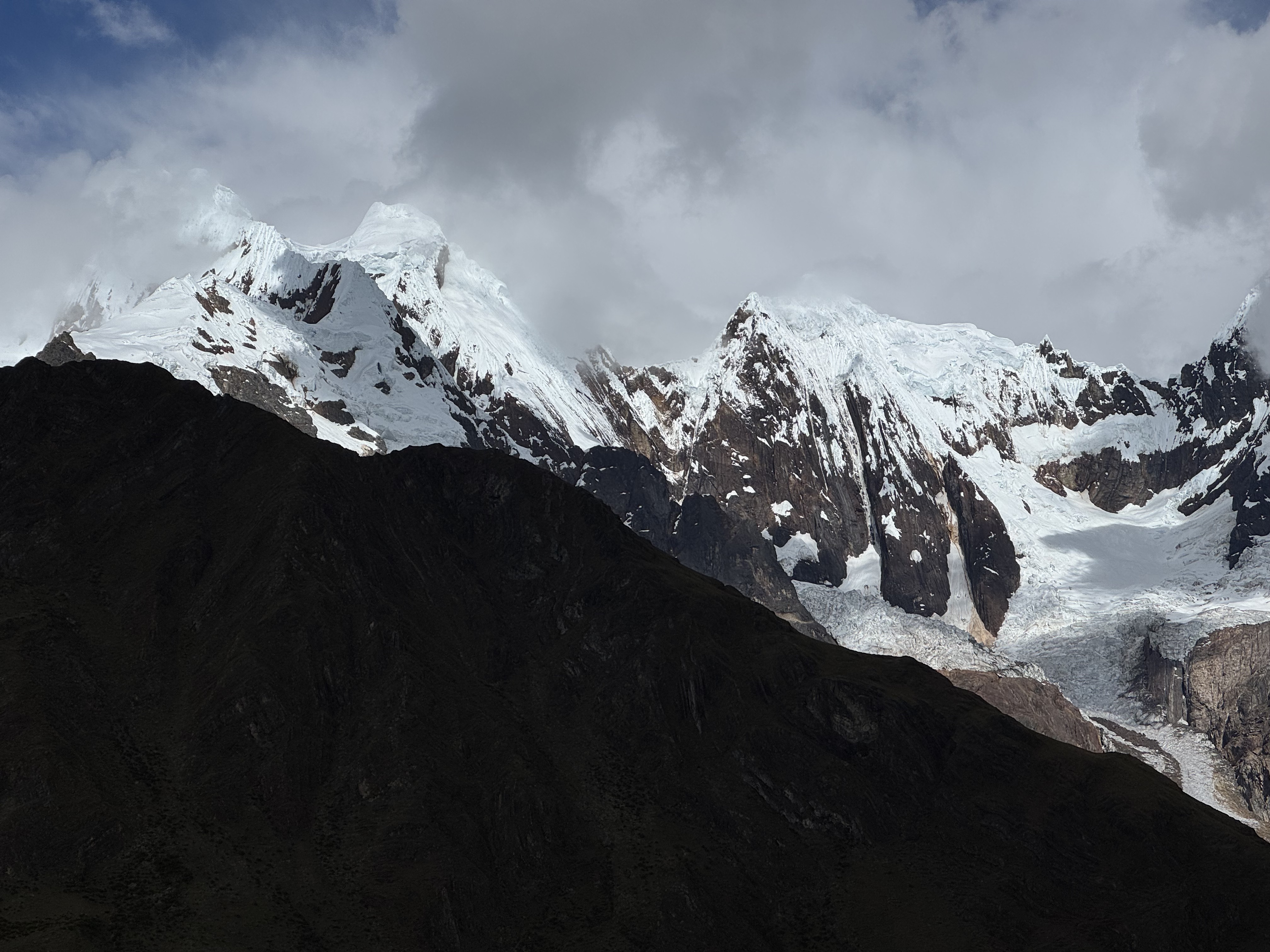
The descent continues to Jancapampa, where you can camp. From there, you can enjoy spectacular views of Taulliraju, Rinrihirca and Pucahirca, along with their impressive glaciers.
There is also the option of connecting with Santa Cruz via Huecrococha and paso Alto de Pucaraju, or continuing towards laguna Shuitococha.
Day 7 Jancapampa–Pomabamba–Huaraz
10km | +180m |From there, you can walk to Pomabamba following the river, or take a shared minibus (check the schedules carefully). You can also take a shared minibus to Pomabamba to shorten this day—just be careful with the schedules, as they vary. There is generally one leaving Jancapampa between 6–7 a.m. and another between 2–3 p.m.
Then take a bus to Huaraz, for example with Renzo (one block from the main square).

Map
 Map of Cedros–Alpamayo — imagen pendiente
Trails can change. Follow the map attentively and with care.
Similar options
 Advanced



 Advanced
 Advanced
 Advanced
 Advanced
 Advanced