
 Akilpo — photo pending
 Akilpo — photo pending
 Akilpo — photo pending
 Akilpo — photo pending
Akilpo
30 km Distance
1660 m Elevation gain
3 days Duration
Moderate Difficulty

Recommended
May - September but it can be done all year round
Ideal for
a lesser-known hike near Huaraz
Access
Tour or taxi.How to get there
From Huaraz
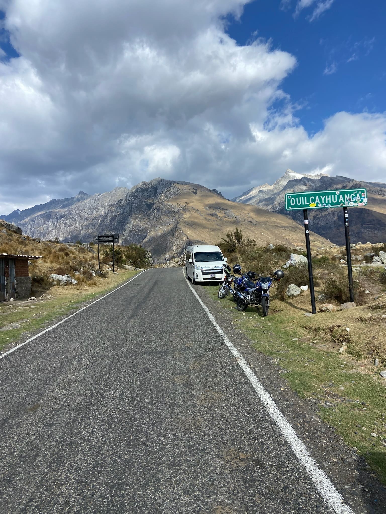
Take a taxi or private transport via Taricá to Honcopampa (you can take a shared minibus as far as Taricá).
1h30
Approximately, to Honcopampa. The hike is part of Parque Nacional Huascarán.
Laguna Cochapampa (or Pashpa)
Pick-up point to return to Huaraz.
1h20
Approximately, to Huaraz.

Description
The hike to laguna Akilpo is a quiet route that combines some of the Cordillera Blanca's most characteristic landscapes in a relatively short trip. Along the way, queñual forests, high-Andean plains and open views of imposing snow-capped peaks alternate, creating a varied and rewarding experience.
It is an excellent option for those seeking a hike near Huaraz that can be done in just a few days, without giving up the diversity of landscapes and characteristic beauty of the mountain range.
Itinerary (3 days)
Day 01: Honcopampa (3650 m a.s.l.) – Pacchapampa (4300 m a.s.l.)
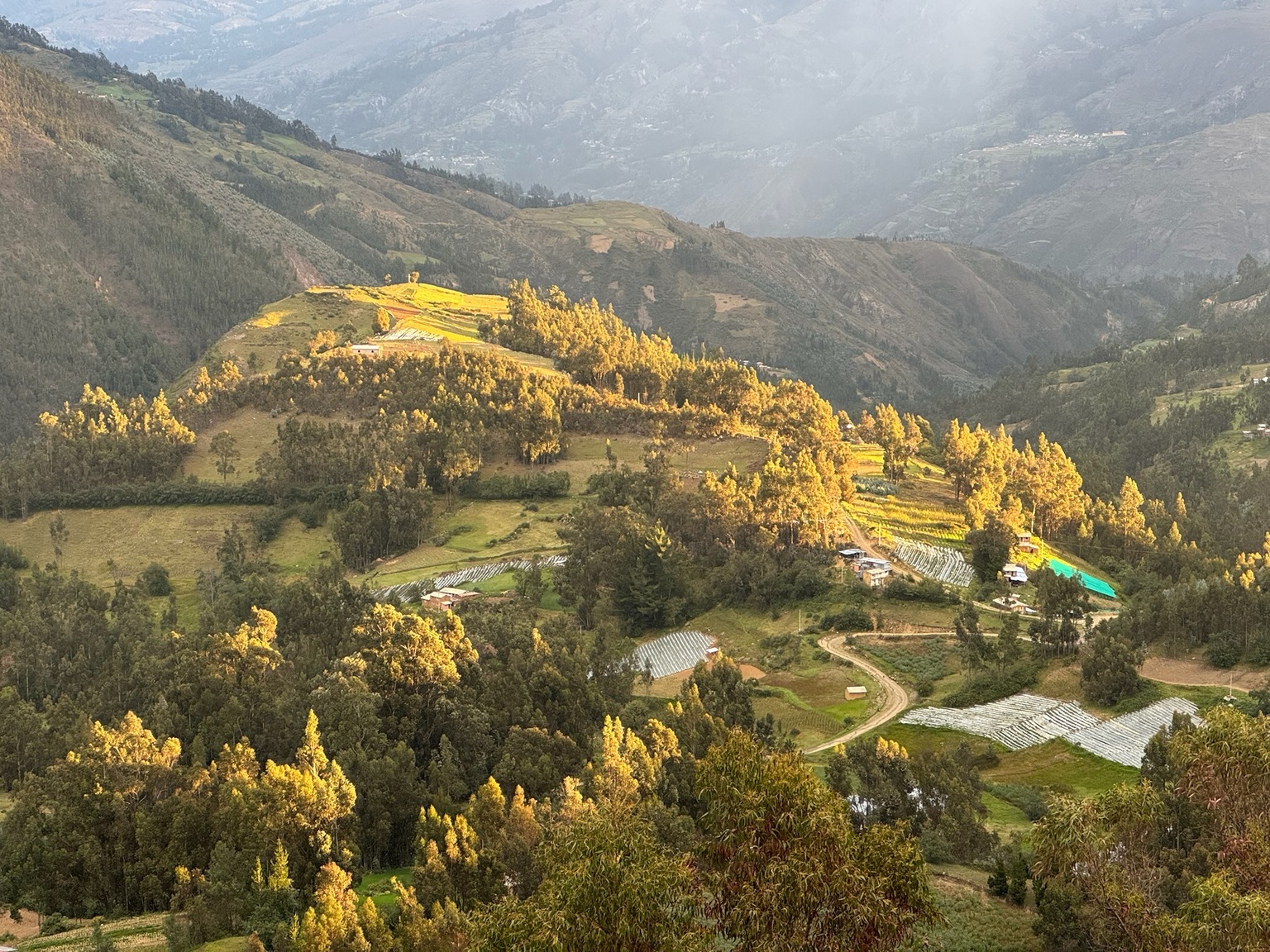
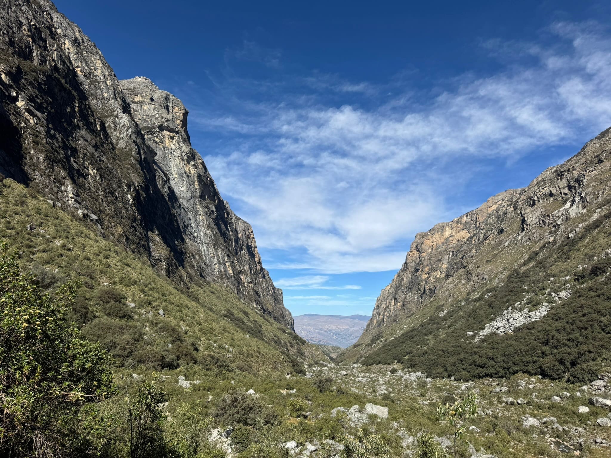
7.6km | 812m | 4hThe hike begins along a trail surrounded by Andean vegetation, gradually entering a queñual forest alongside the río Akilpo, with constant views of the mountains framing the valley and the imposing vertical rock walls rising on either side.
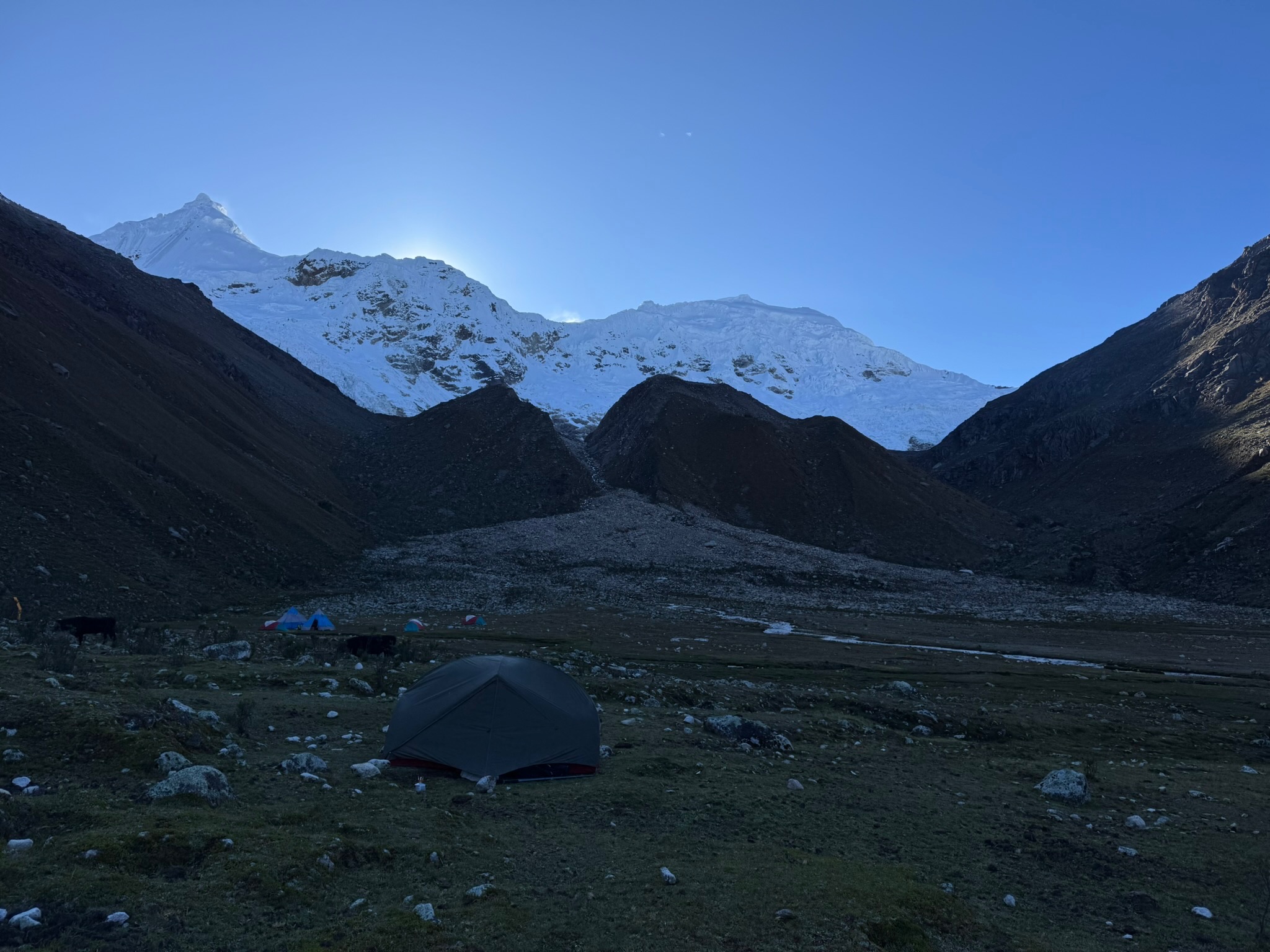
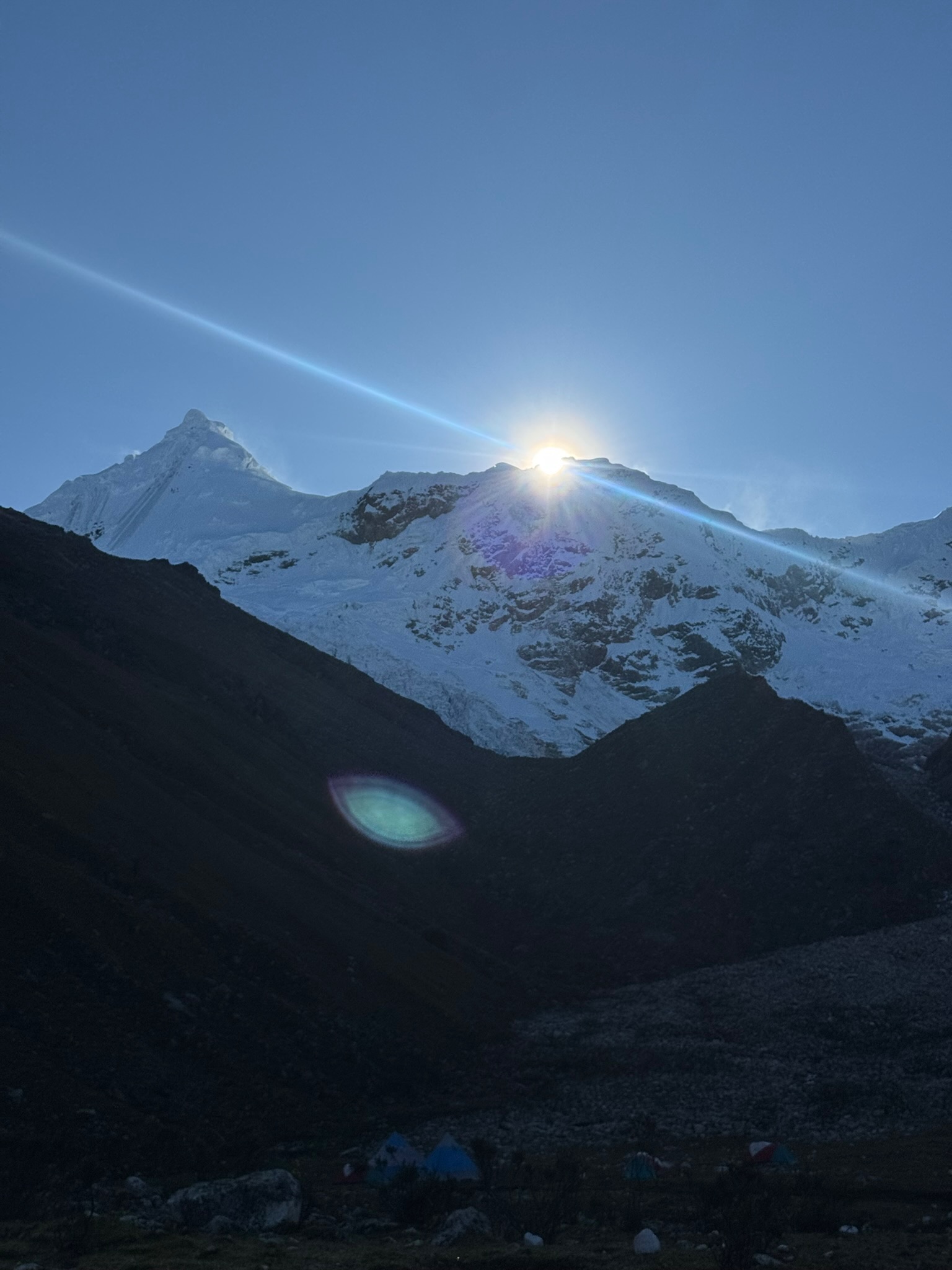
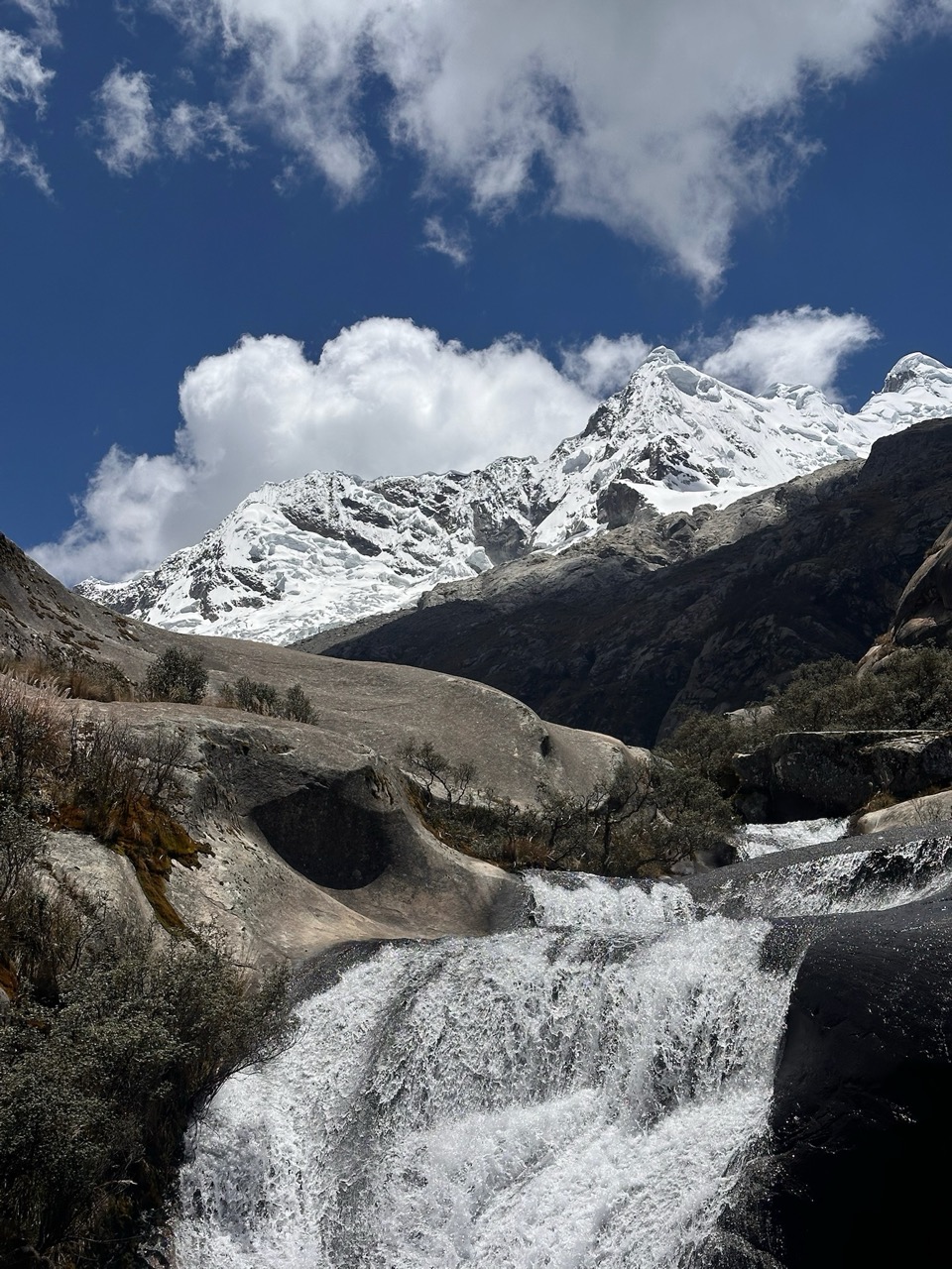
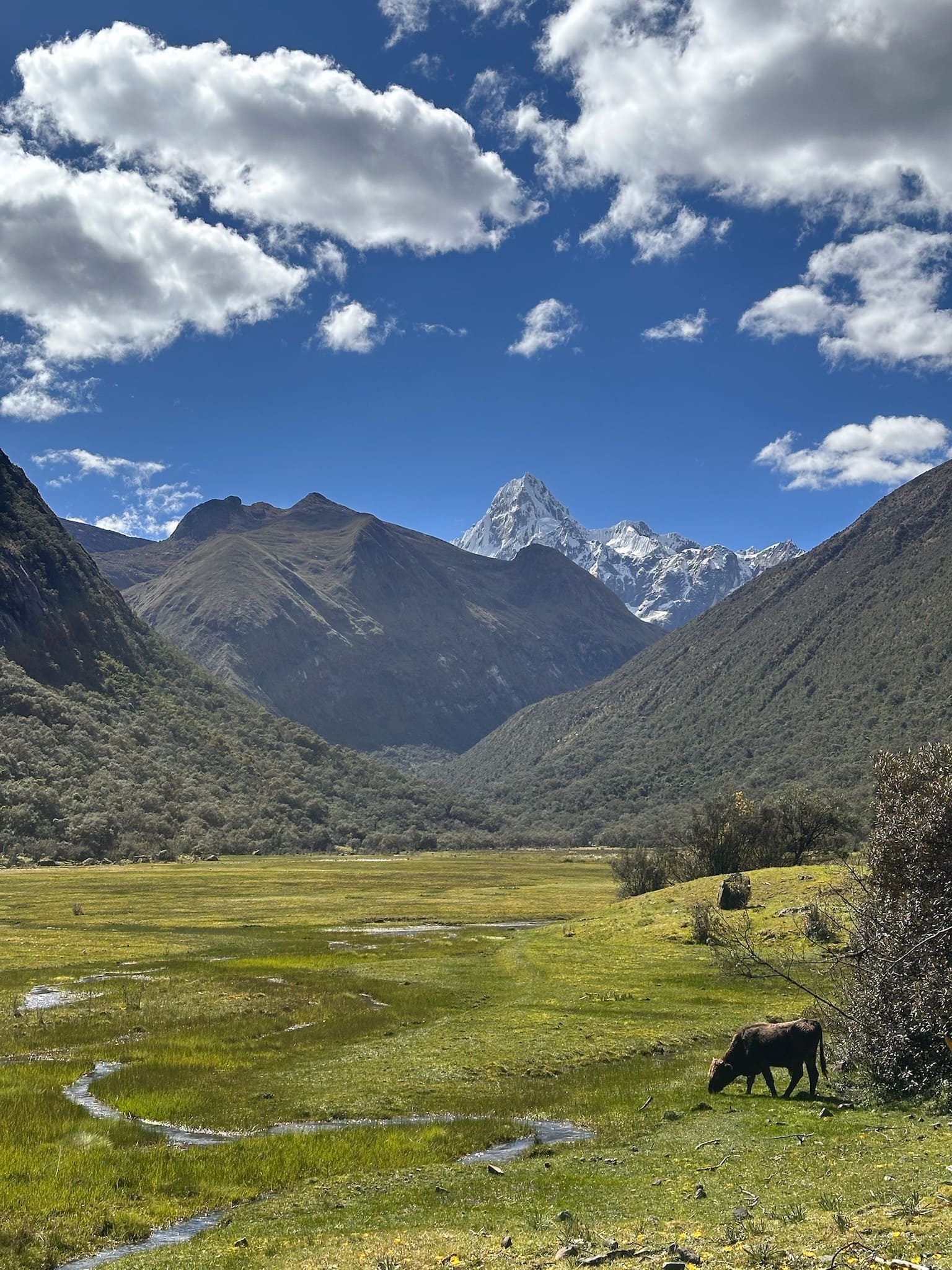
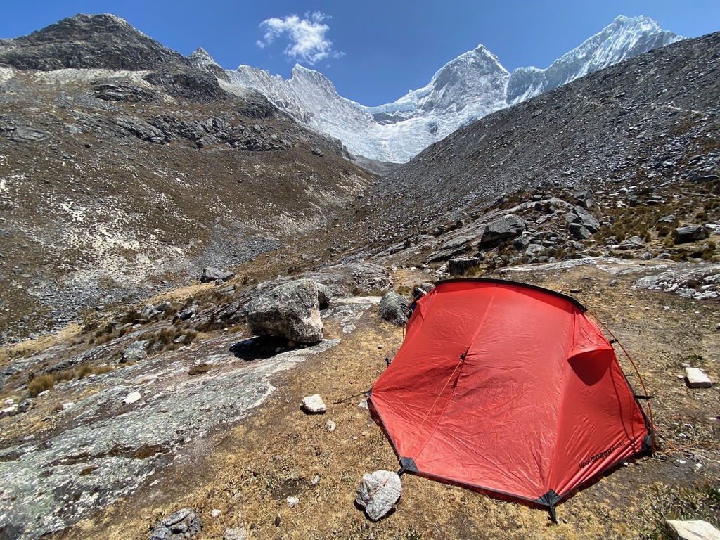
Further on, the landscape opens onto a broad plain, with Tocllaraju appearing in the distance as you gradually approach it. Along the way, there are rocky stretches where water has shaped small natural formations, almost like slides of polished rock. Finally, you reach the campsite at Pacchapampa, at the foot of Akilpo, Tocllaraju and Urus.
Day 02: Pampa Akilpo (4380 m a.s.l.) – Ishinca (3800 m a.s.l.)
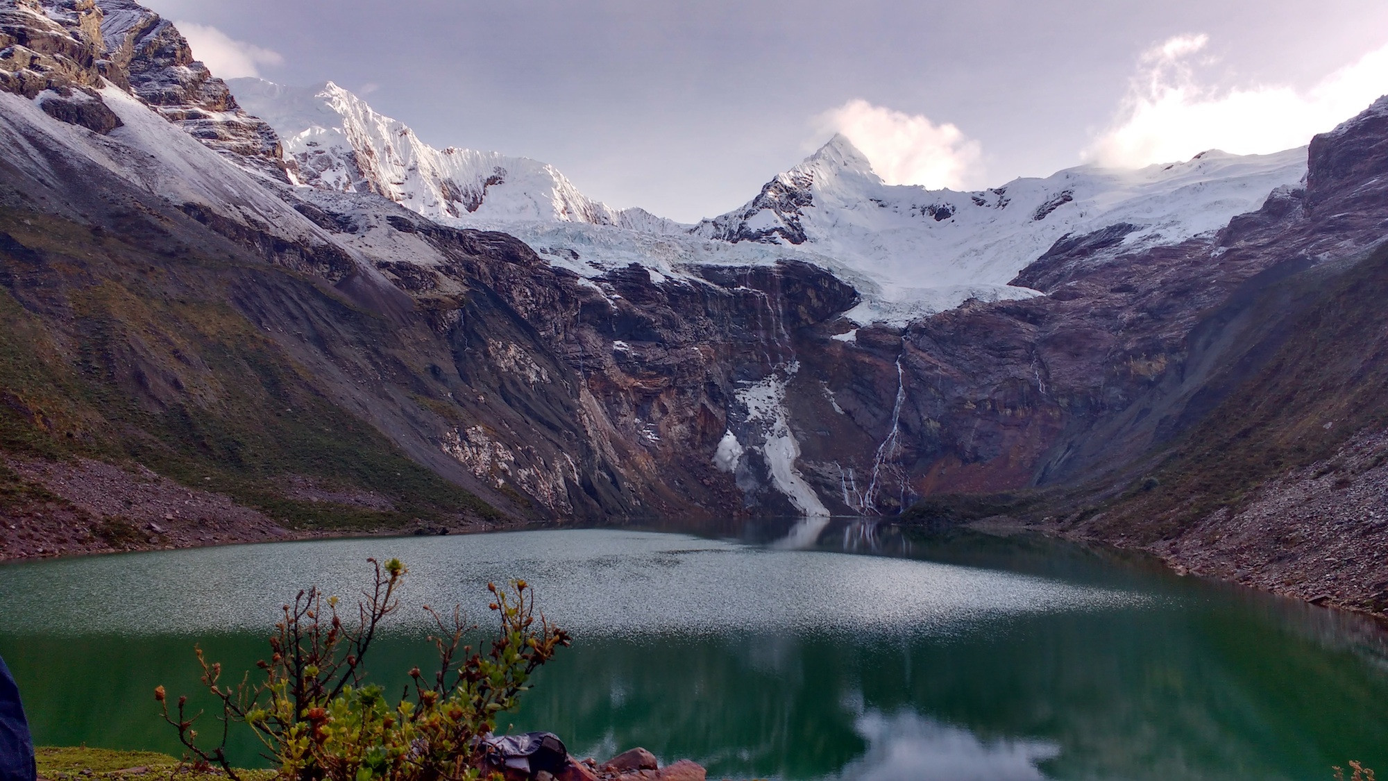
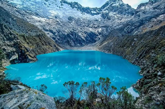
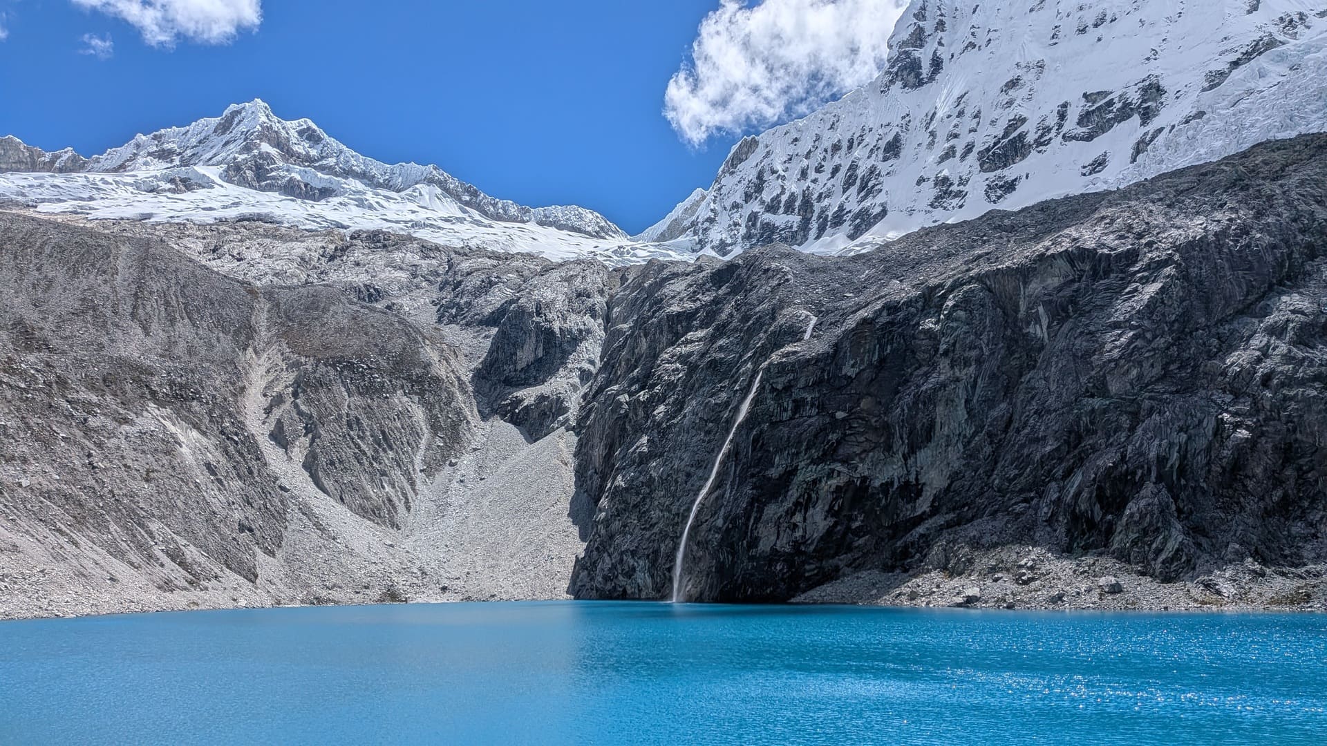
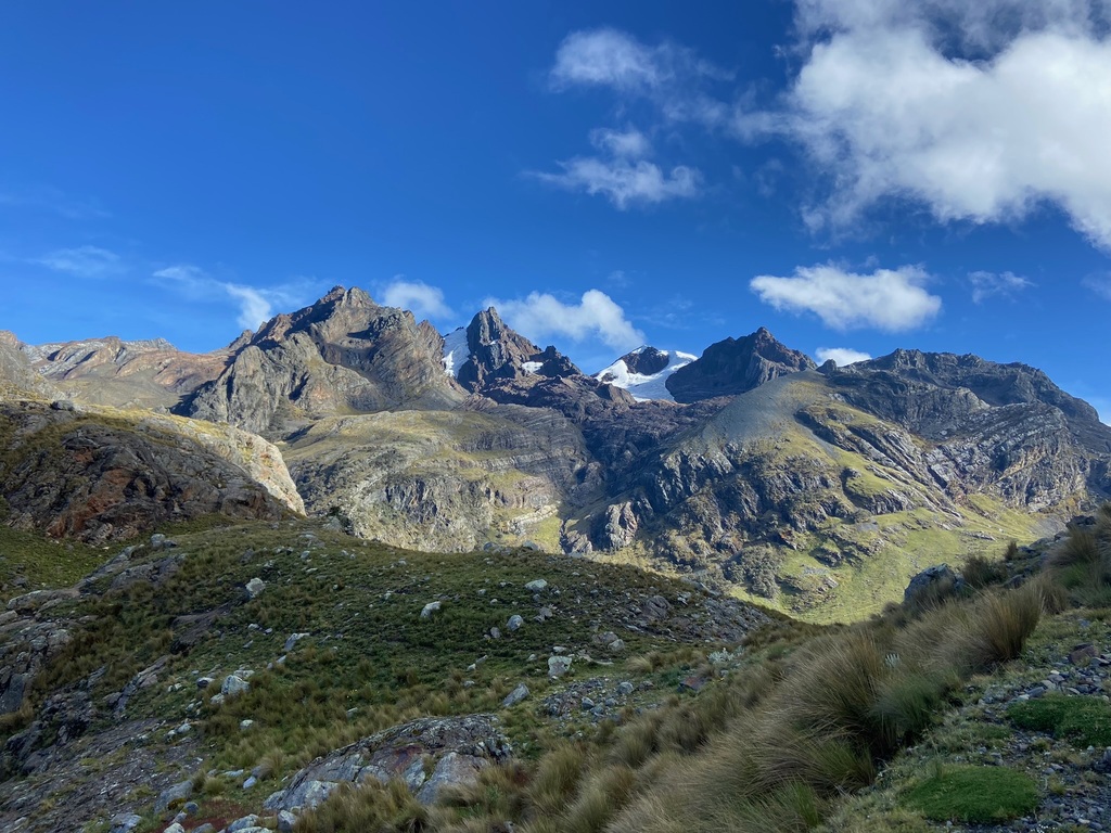
8km | +800m | 4h30The day begins by crossing plains covered with ichu grass, with the imposing Tocllaraju dominating the horizon. The trail zigzags uphill to reach laguna Akilpo, whose intense turquoise waters lie at the foot of the mountains. From there, you continue towards the moraine of Tocllaraju before climbing to the spectacular Paso Urus, a rocky and demanding stretch rewarded with extraordinary views of the Cordillera Blanca, including peaks such as Urus, Tocllaraju, Palcaraju, Ishinca, Ranrapalca and Ocshapalca.
From the pass, a careful descent over rocks leads towards Refugio Ishinca, where the landscape becomes gentler.
Day 03: Ishinca (3800 m a.s.l.) – Pashpa (3517 m a.s.l.)
4h30h | +100 m | 13kmTo leave the Ishinca valley, the route begins on a broad, gently descending plain, moving away from Tocllaraju's imposing silhouette. There are several climbing boulders, as well as grazing cows and horses. Gradually, the trail enters a queñual forest enclosed by imposing vertical rock walls, following the river's course in a fairy-tale setting.
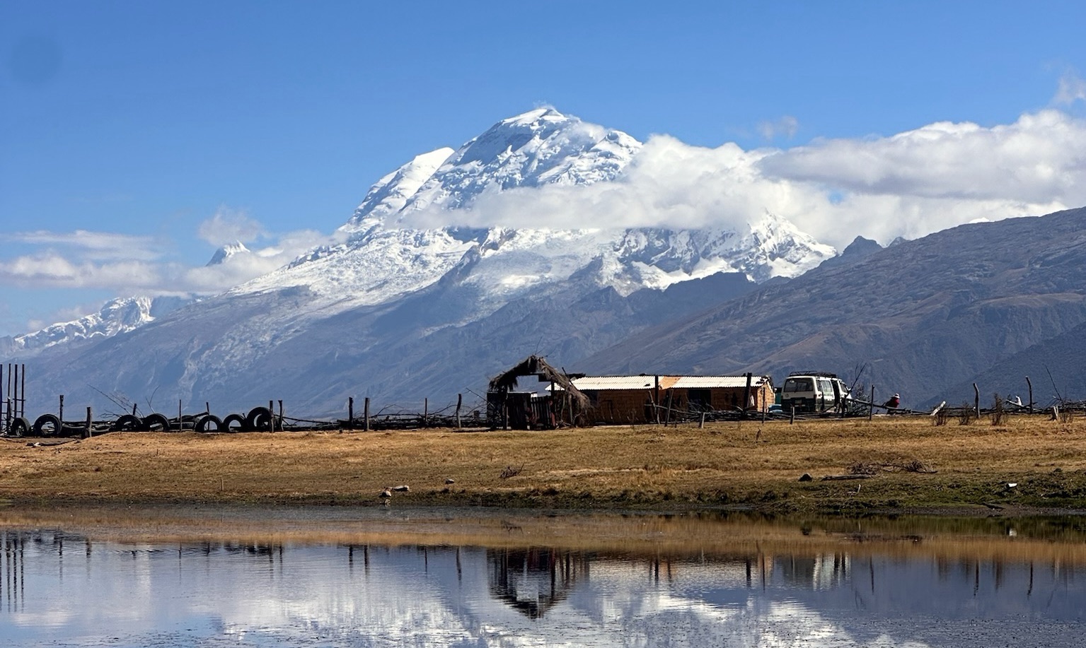
As you emerge into more open areas, the hike continues across a plain with broad views of the valley's villages and cultivated fields, recalling the constant connection between the mountains and Andean life. Before reaching Pashpa, you skirt a lake that reflects Huascarán like a mirror.

Map
 Map of Akilpo — imagen pendiente
Trails can change. Follow the map attentively and with care.
Similar options
 Moderate



 Moderate
 Moderate
 Moderate
 Moderate
 Moderate
 Moderate
 Moderate
 Moderate
 Moderate
 Moderate
 Moderate
 Moderate
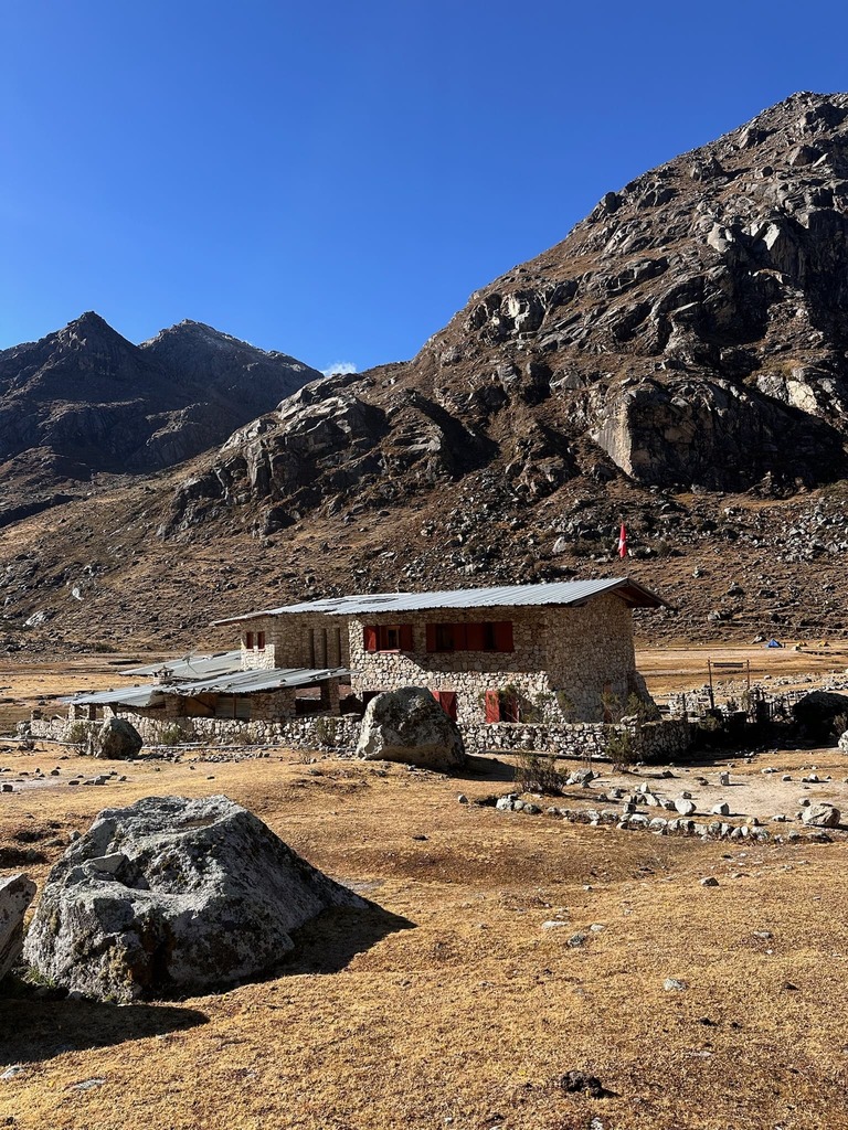
Vivaque Giordano Longoni
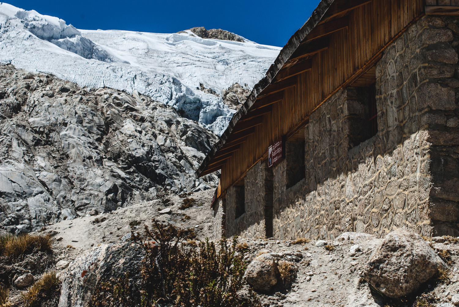
High-altitude bivouac beside Laguna Ishinca
4 km
2h30
580 m