 Quilcayhuanca–Cojup — photo pending
 Quilcayhuanca–Cojup — photo pending
 Quilcayhuanca–Cojup — photo pending
 Quilcayhuanca–Cojup — photo pending
Quilcayhuanca–Cojup
38 km Distance
1780 m Elevation gain
3 days Duration
Moderate Difficulty

Recommended
May - September but it can be done all year round
Ideal for
a little-visited hike near Huaraz.
Access
Tour, taxi or shared minibus.How to get there
From Huaraz
Take transport towards Pitec, asking to be taken to the Quilcayhuanca checkpoint for a few extra soles (5 soles extra by shared minibus).
55 min
Approximately, to Quilcayhuanca, part of Parque Nacional Huascarán.
Cojup
Arrange transport in advance and wait for a shared minibus at Cruz Interoceánica (beside the sign), or ask to be picked up at the Cojup checkpoint (shared minibus or taxi).
40 min
Approximately, to Huaraz (50min from Cojup).

Description
The Quilcayhuanca trek is very close to Huaraz, offering a less touristy but equally scenic alternative. It is an excellent option if you have little time, or have already done better-known hikes and want something quieter and more authentic. It can be done in either direction, but starting from quebrada Quilcayhuanca is most common.
One of its great advantages is accessibility: you can reach either end easily and affordably, even independently, without complex logistics. Despite this proximity, the route is very quiet, both in Quilcayhuanca and on its connection to Cojup, allowing you to enjoy the surroundings with an unusual sense of calm and isolation.
The valley gradually opens, combining plains, meltwater rivers, moraines and glacial lakes, with constant views of great peaks. It also offers many variations and connections, making it a flexible and varied option for exploring the Cordillera Blanca in a quieter, more personal way.
Itinerary (3 days)
Day 1: Quilcayhuanca checkpoint (3835 m a.s.l.) – Campo Tullpacocha (4284 m a.s.l.)
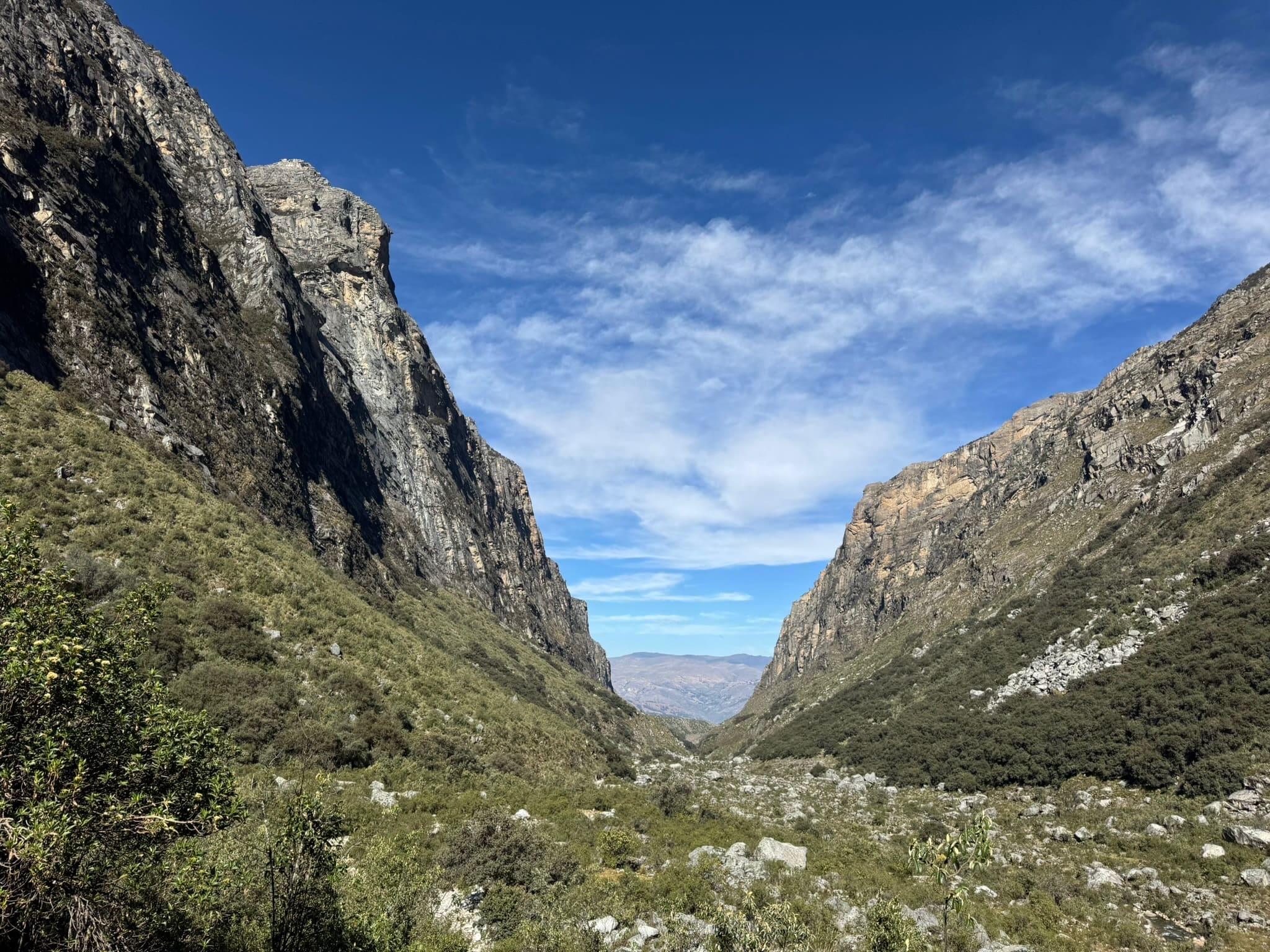
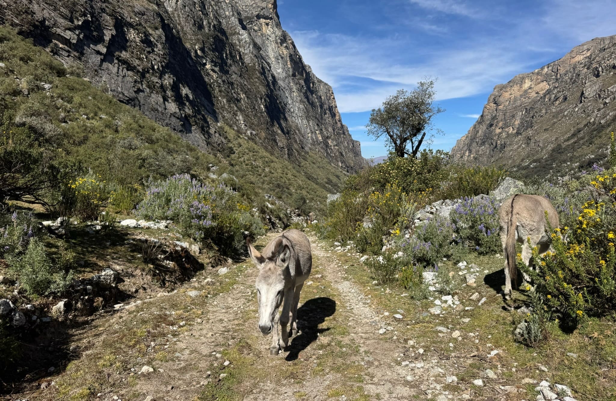
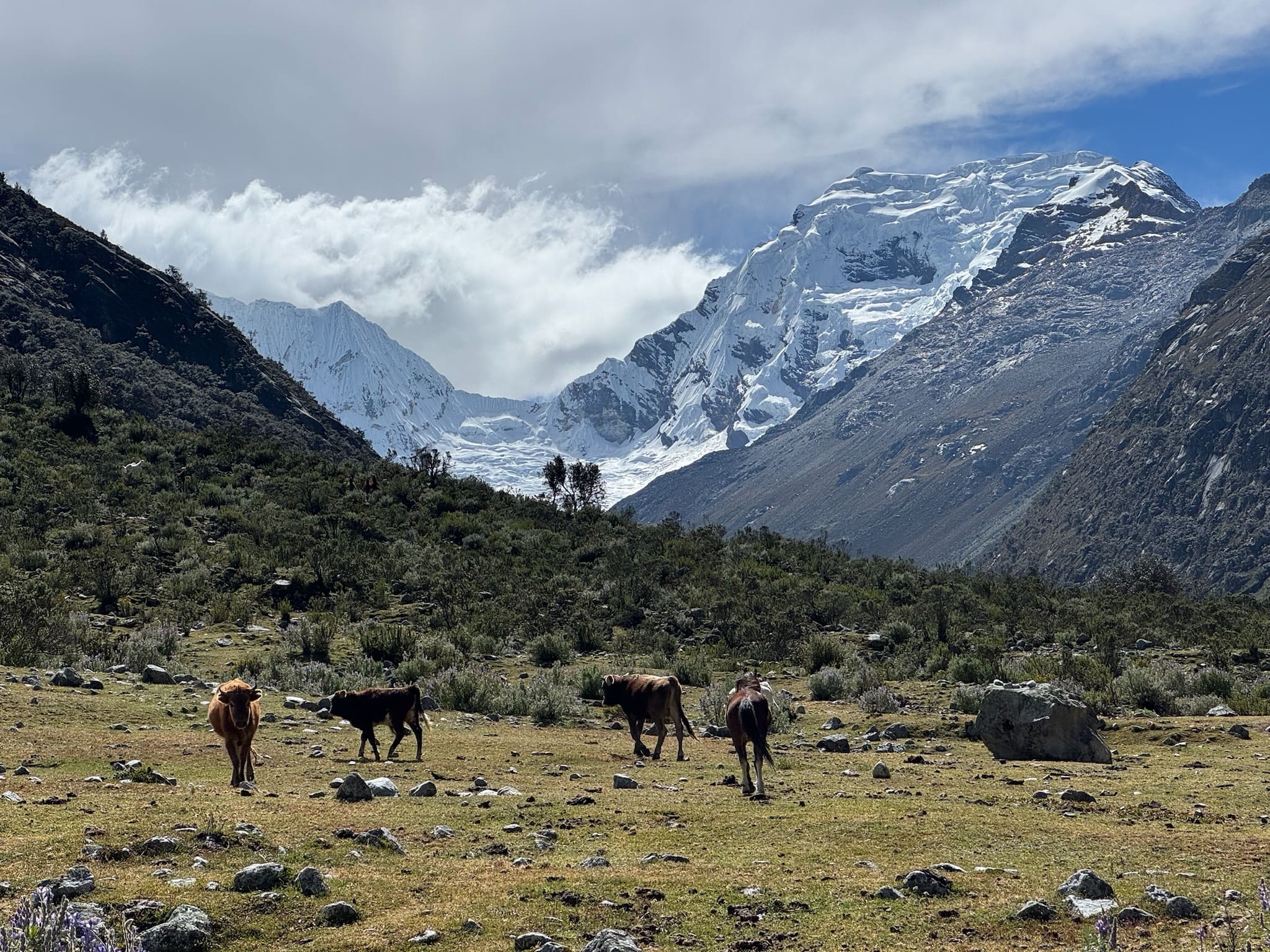
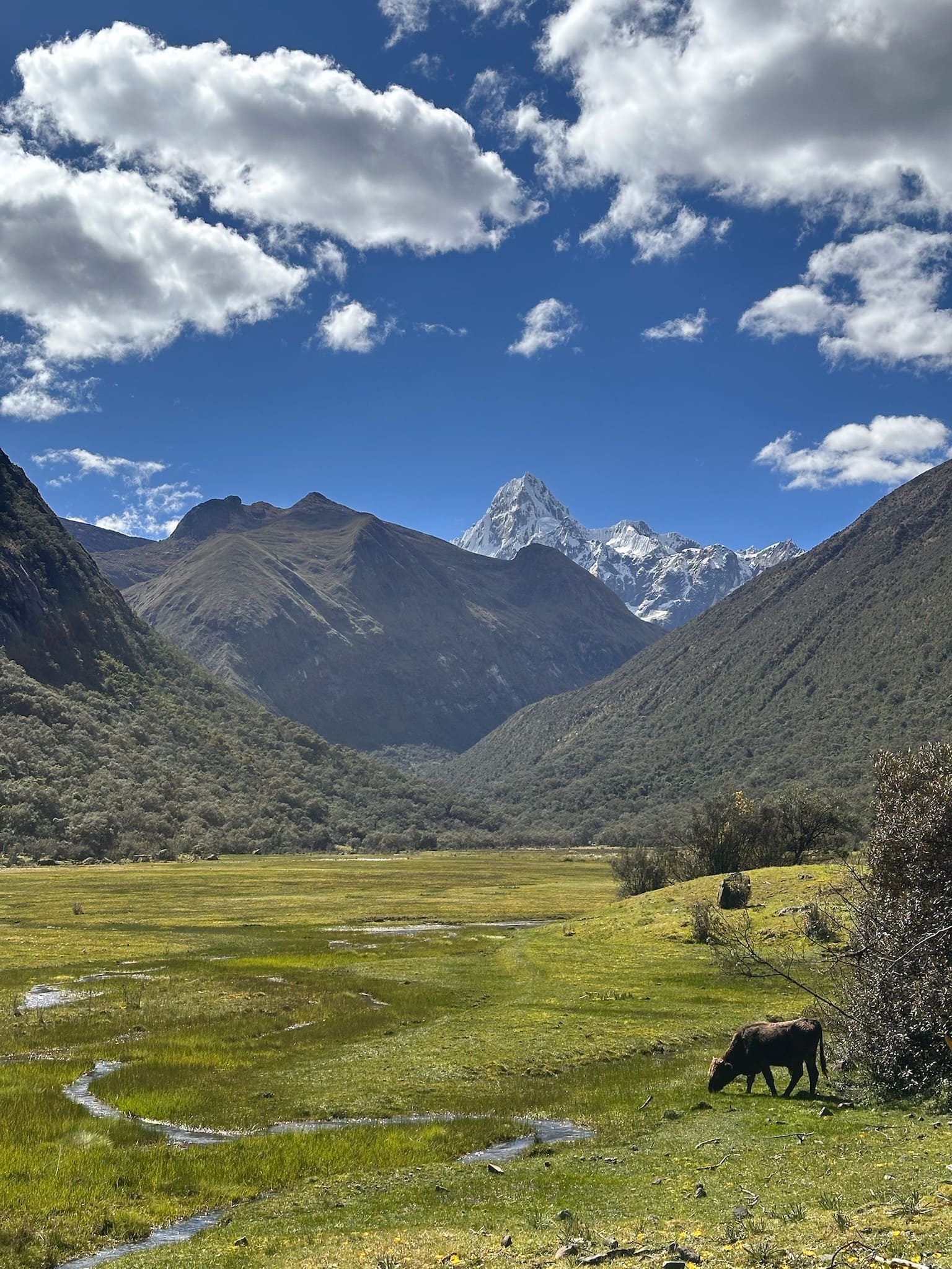
12km | +600m | 4hAt Portada de Quilcayhuanca, there are cave paintings from the Early Horizon period; in Quechua, qillqay means “to write” and huanka means “vertical monolith”. From here, the hike enters a broad valley that you follow for a long time: essentially a succession of open plains stretching for kilometres, with a very gradual climb and constant views towards Andavite (5518 m).
At one point, the valley opens further and splits, revealing another valley to the right and heightening the sense of space and isolation. Along this stretch, several indistinct trails may spread across the plain, especially near Tullpacocha, so take care with navigation.
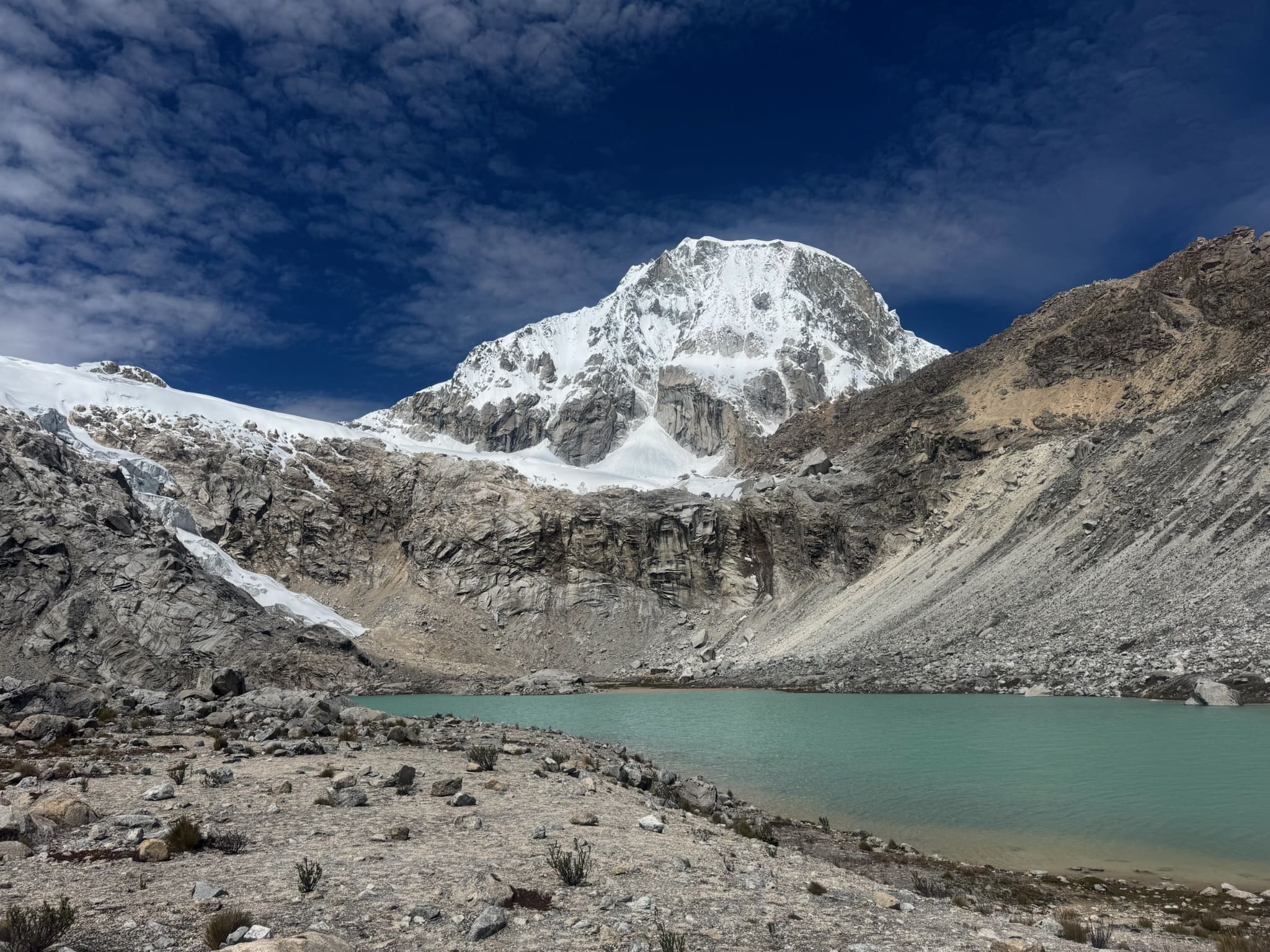
Laguna Tullpacocha is particularly peaceful and isolated, surrounded by mountains with Tullparaju in the background. In changing light, rainbows often form over the lake, creating a very special atmosphere.
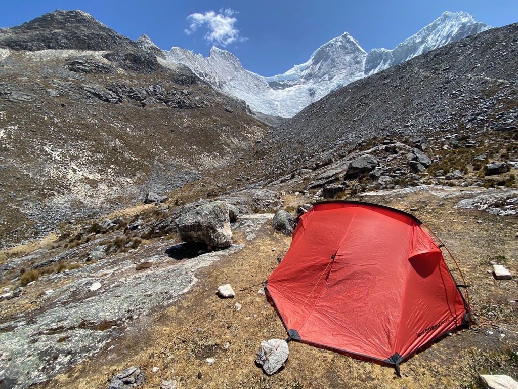
There are several camping options, most commonly beside the river on the main trail back from Tullpacocha.
Day 2: Campo Tullpacocha (4284 m a.s.l.) – Campo Cojup (4310 m a.s.l.)
10km | 920m | 5h30Climb gradually towards Paso Huapi, with increasingly broad views of the Quilcayhuanca valley and peaks such as Tullparaju, Cayesh, Maparaju and San Juan. Along the way, there is an optional detour to laguna Cuchilla, offering a lovely view towards Pucaranra. The climb continues past a small lake where camping is also possible, before tackling the final stretch.
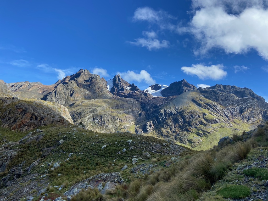
The climb to the pass crosses moraine terrain, on an indistinct trail requiring attention, followed by a descent that can be technical in places. From Paso Huapi, the views are especially broad, taking in peaks such as Ishinca, Ranrapalca, Ishinca, Pucaranra, Cayesh and Tullparaju.
After the pass, the descent leads towards quebrada de Cojup, where you can camp at several points near the river. From here, you can choose to continue to laguna Palcacocha (add 2h30 | +340m | 5.3km) or extend the route by connecting back to the Ishinca valley (see the Ishinca-Cojup hike).
Day 3 Campo Cojup (4310 m a.s.l.) – Cojup checkpoint (3824 m a.s.l.)
11.5km | +165 m | 3h30On the final day, continue descending through quebrada de Cojup, following the river to the park entrance and the road. If your pick-up is at Cruz Interoceánica, follow the road and add 1.8km, +30 m of elevation gain and 20 min.

Map
 Map of Quilcayhuanca–Cojup — imagen pendiente
Trails can change. Follow the map attentively and with care.
Similar options
 Moderate



 Moderate
 Moderate
 Moderate
 Moderate
 Moderate
 Moderate
 Moderate
 Moderate
 Moderate
 Moderate
 Moderate
 Moderate
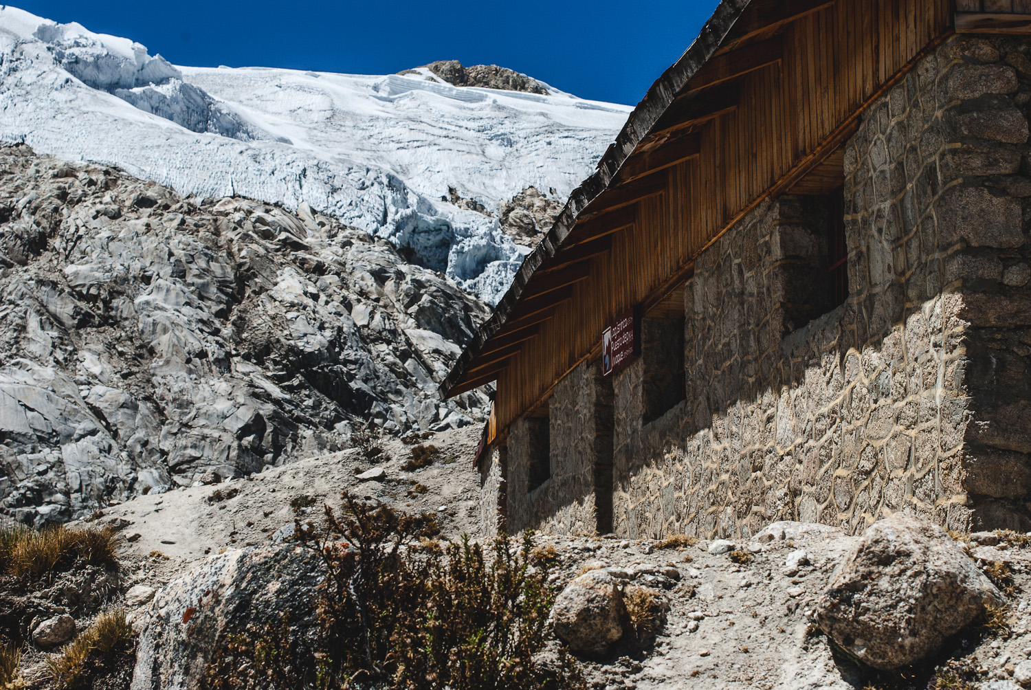
Vivaque Giordano Longoni
High-altitude bivouac beside Laguna Ishinca
4 km
2h30
580 m