 Olleros–Chavín — photo pending
 Olleros–Chavín — photo pending
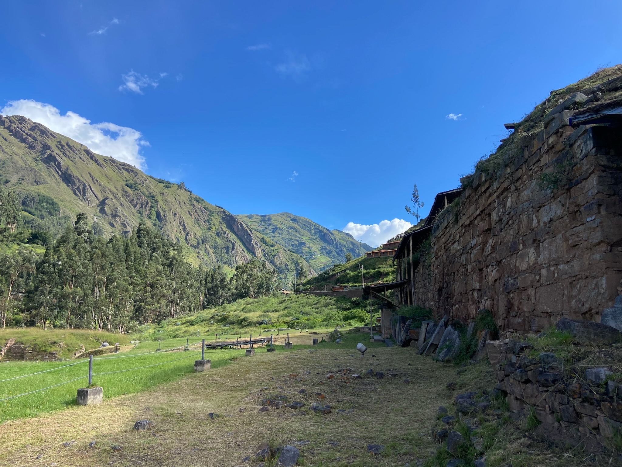 Olleros–Chavín — photo pending
 Olleros–Chavín — photo pending
Olleros–Chavín
38.5 km Distance
1400 m Elevation gain
3 days Duration
Moderate Difficulty

Recommended
May - September but it can be done all year round
Ideal for
a hike combining culture and impressive views
Access
Tour, taxi or shared minibus.How to get there
From Huaraz
Take transport towards Olleros or Canrey Chico (shared minibuses are available).
1h
Approximately, to Olleros. The hike is part of Parque Nacional Huascarán.
Chavín
Shared minibuses and buses go directly to Huaraz; the easiest place to find them is near the square, by Banco de la Nación.
3h30
Approximately, by shared minibus to Huaraz (4h by bus).

Description
Following ancient Inca trails, this route crosses remote valleys with archaeological remains and cave paintings that are still little explored, before ending at the mythical sanctuary of Chavín de Huántar. Considered one of pre-Hispanic Perú's oldest ceremonial centres, Chavín was the heart of a culture that profoundly influenced much of the Andes.
It is a hike weaving together history and ancient culture with unspoilt mountain landscapes, following quiet trails where the past still seems present.
Be careful with the water in this area (especially on day 2)! We recommend carrying a few extra litres or an excellent water filter.
Itinerary (3 days)
Day 01: Canrey Chico (3510 m a.s.l.) – Sacracancha (4015 m a.s.l.)
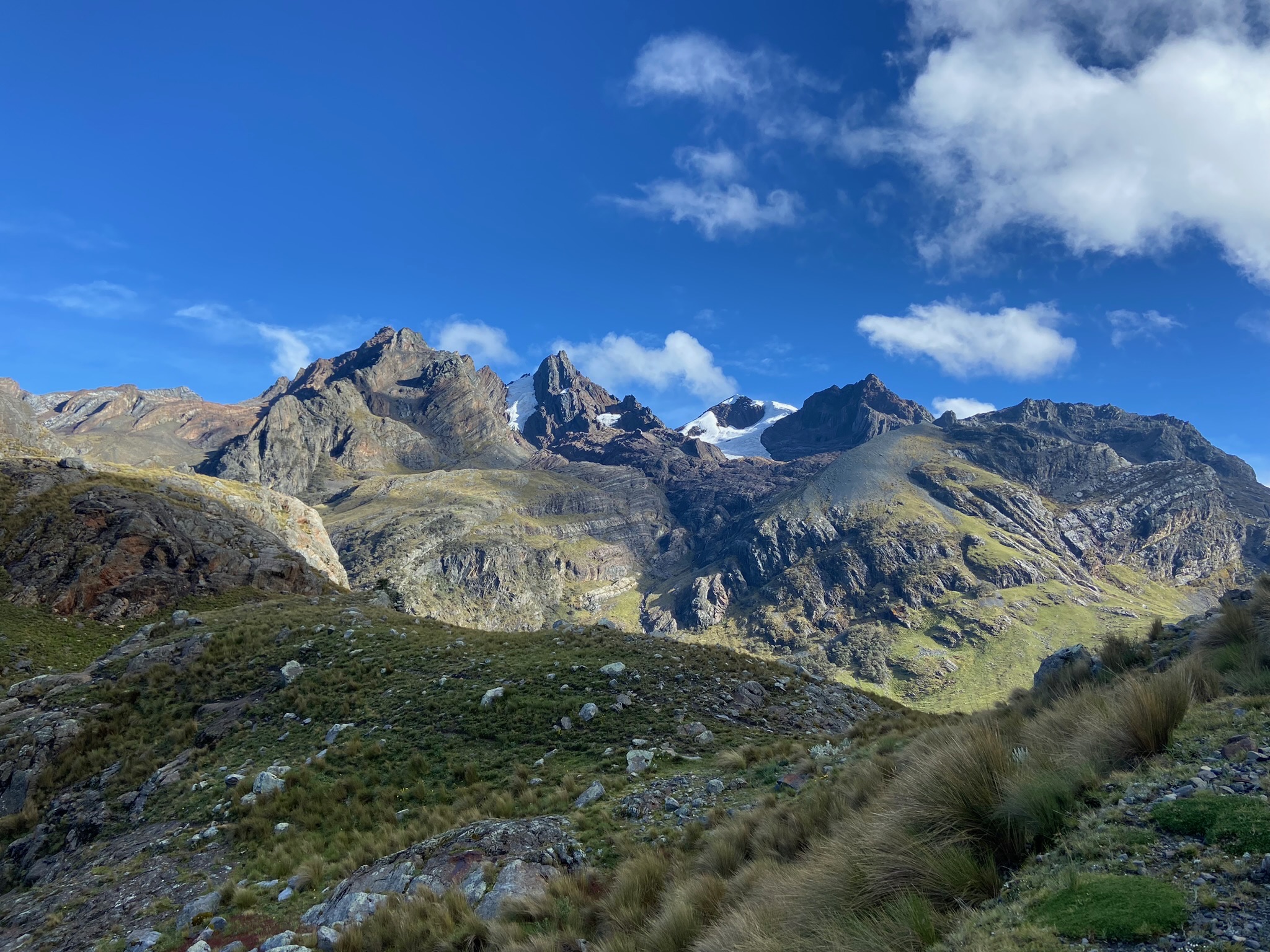
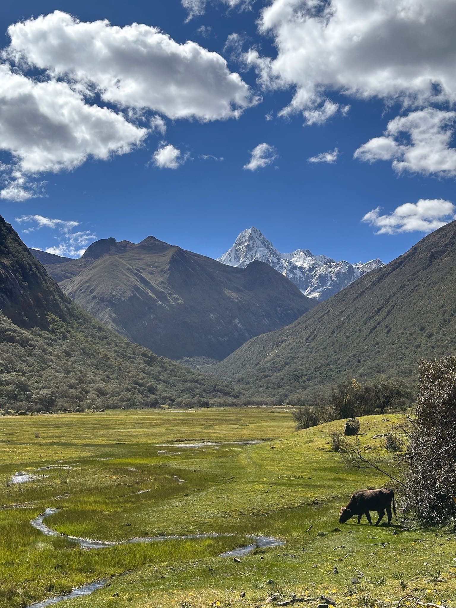
14.5 km | 4h45 | +650mPassing Centro Experimental de Crianza de Llamas de Canrey Chico, the route continues through a broad, peaceful high-Andean valley surrounded by grassland and without major elevation changes, with constant views of the Cordillera Blanca's peaks, including Shaqsha, Uruashraju, Rurec and Tuctupunta.
Throughout the hike, including near the end of this first day (‘Azulwanka’), there are several huancas (elongated Andean monoliths present since pre-Inca times). They are now thought to have had various meanings, such as marking routes or important landscape features, including passes, but they also served symbolic and ritual purposes. They were generally associated with protection and fertility of their surroundings—crops, water, livestock or communities. They were also considered representations of ancestors, making them places for offerings and connections between the different levels of the Andean world.
Note: distances and other figures are measured from Canrey Chico. If starting from Olleros, add 1.5km, 30min and 50 metres of elevation gain.
Day 02: Sacracancha (4015 m a.s.l.) – Shongo (4088 m a.s.l.)
14 km | 6h | +750mThe second day is the most demanding, with the climb to paso Yanashallash (4700m), the route's highest point, whose Quechua name refers to black, polished stones. This day crosses the best-preserved sections of Qapaq Ñan (the Inca road), used by pilgrims travelling to Chavín to worship and present offerings, and an important economic link between the Huaylas and Conchucos regions.
The final climb to the pass offers broad views of the Shongo valley and Uruashraju and Rurec, followed by a descent to the Shongopampa campsite.
Day 03: Shongo (4088 m a.s.l.) - Chavín (3155 m a.s.l.)
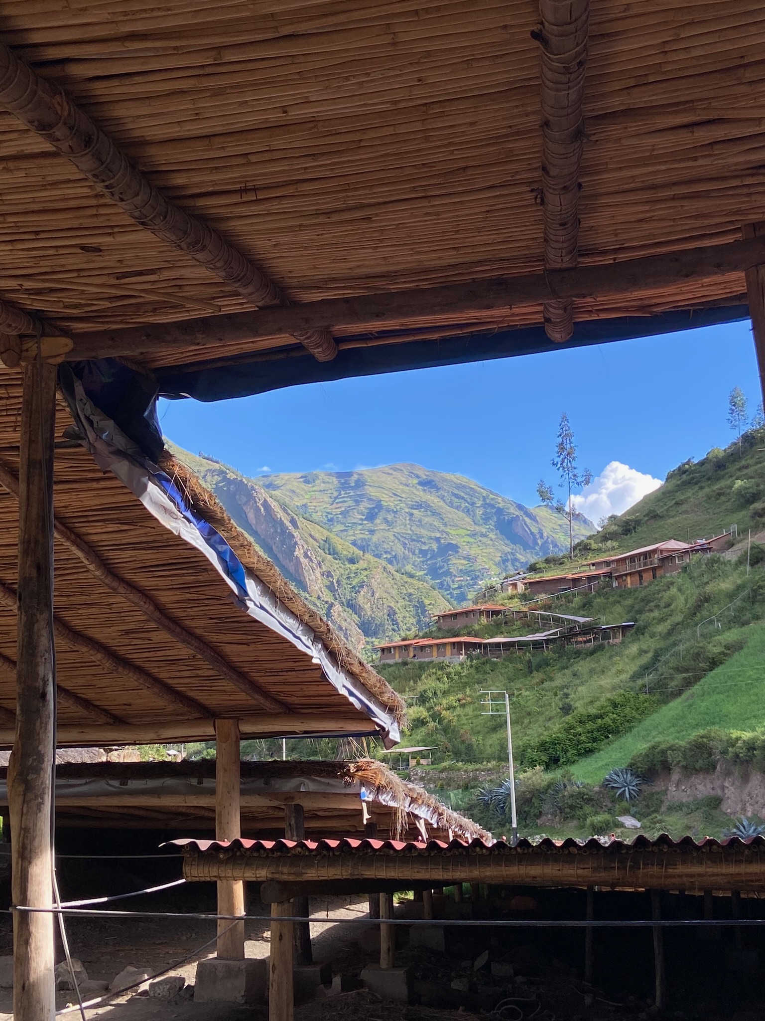
3h20 |+ 100m | 11kmThe final day is a gentle downhill hike through the río Huacheqsa valley, passing the Chichucancha and Jato communities, with views of Huantsán. Despite its proximity to Chavín, this area remains little explored, although archaeologists report strong potential for important discoveries.
On reaching Chavín, visit its fascinating archaeological complex, designated a World Heritage Site and the centre of one of the Andes' most enigmatic cultures. We also recommend the museum, but arrive early because it closes at 4 p.m.

Map
 Map of Olleros–Chavín — imagen pendiente
Trails can change. Follow the map attentively and with care.
Similar options
 Moderate

 Moderate
 Moderate
 Moderate
 Moderate
 Moderate
 Moderate
 Moderate
 Moderate
 Moderate
 Moderate
 Moderate
 Moderate
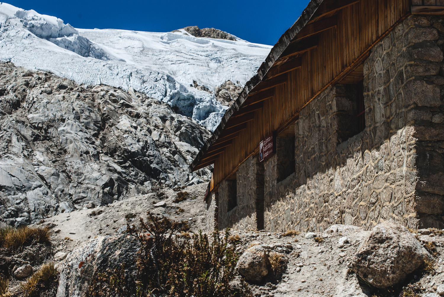
Vivaque Giordano Longoni
High-altitude bivouac beside Laguna Ishinca
4 km
2h30
580 m