
 Santa Cruz — photo pending
 Santa Cruz — photo pending
 Santa Cruz — photo pending
 Santa Cruz — photo pending
Santa Cruz
52 km Distance
2015 m Elevation gain
4 days Duration
Moderate Difficulty

Recommended
May - September but it can be done all year round
Ideal for
exploring iconic Cordillera Blanca landscapes in a few days
Access
Tour, shared minibus or taxi.How to get there
From Huaraz
Take a shared minibus to Yungay and change there for Vaquería.
5h
Approximately, to Vaquería, part of Parque Nacional Huascarán (4h by private car).
Cashapampa
Take a shared minibus to Caraz, then change there for Huaraz.
3h30
Approximately, by shared minibus to Huaraz (3h by private car).


Description
The Santa Cruz hike, in the heart of Parque Nacional Huascarán, is one of the Cordillera Blanca's most famous and iconic routes. It crosses the Llanganuco, Huaripampa and Santa Cruz valleys, passing queñual forests, multicoloured lakes and spectacular viewpoints.
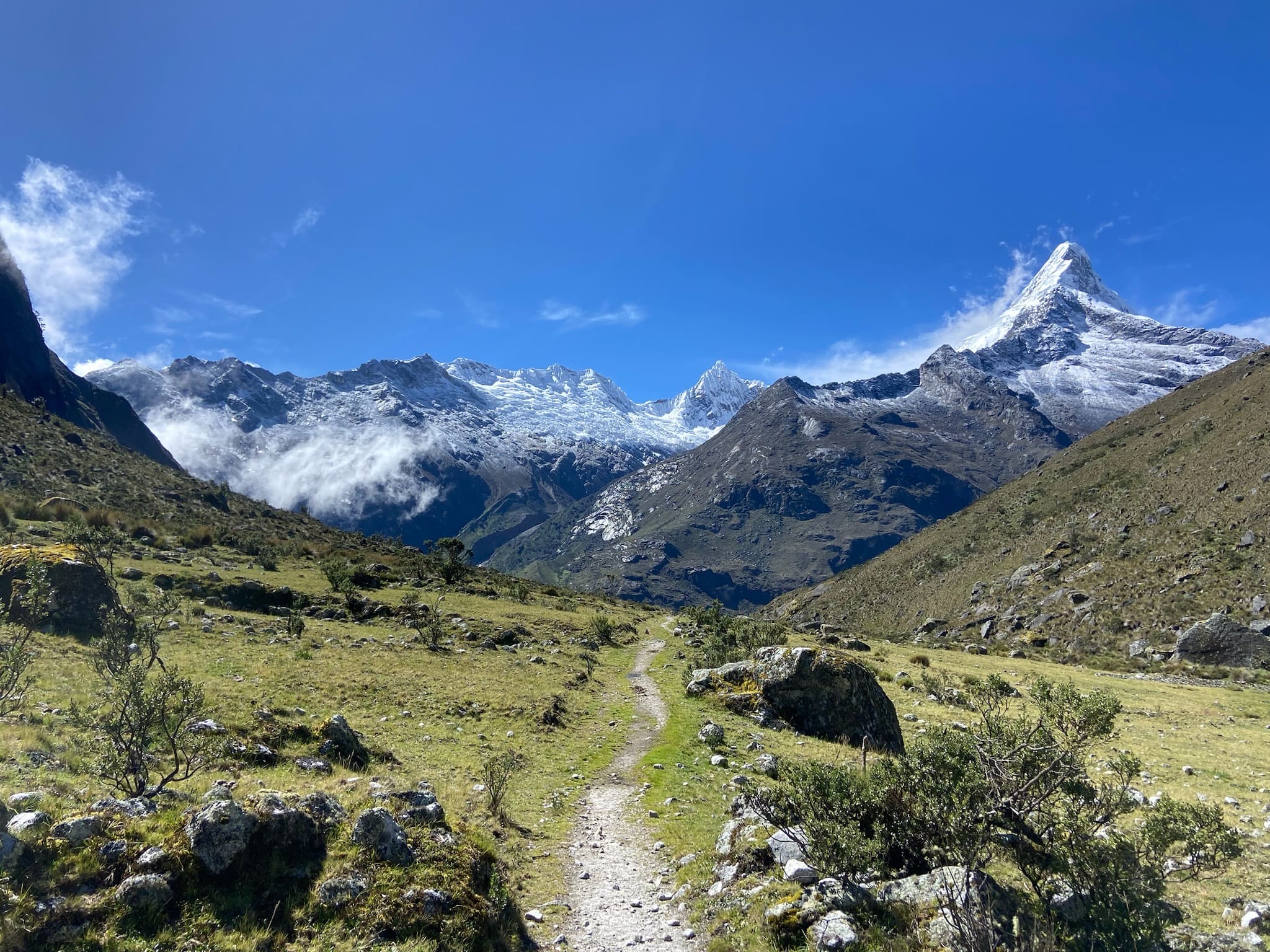
The highlight is paso Punta Unión (4750 m a.s.l.), offering outstanding views of legendary peaks such as Alpamayo, considered by many the world's most beautiful mountain, and Artesonraju, whose silhouette inspired the Paramount Pictures logo, as well as Quitaraju and Santa Cruz.
It can be done in either direction, although Vaquería–Cashapampa is recommended because it has less elevation gain.
Itinerary (4 days)
Day 01: Vaquería (3375 m a.s.l.) – Paria (3870 m a.s.l.)
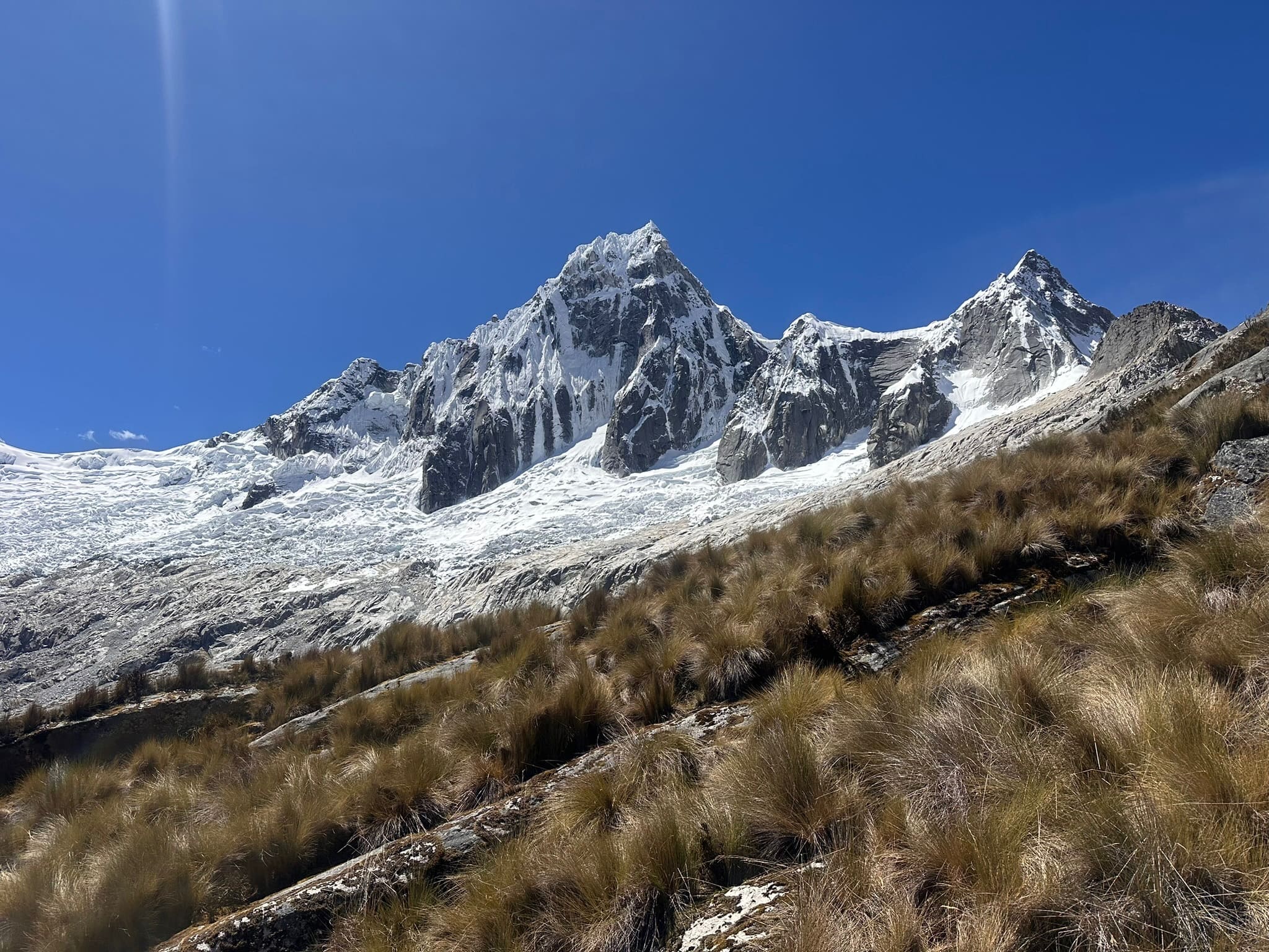
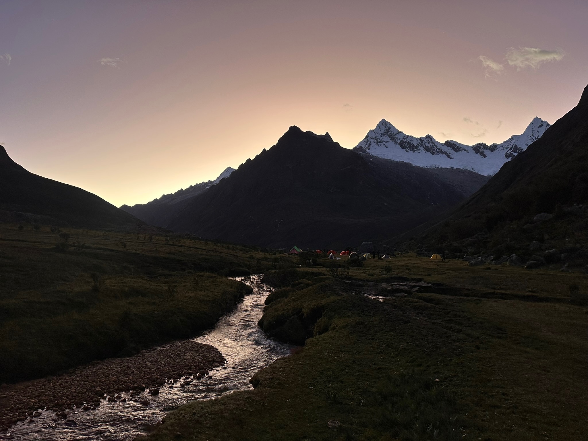
10km | +600m | 4hThe hike begins in Vaquería and passes through small villages, with cultivated fields and livestock along the way. From the first steps, the landscape impresses with views of Chacraraju and Taulliraju dominating the horizon. The climb is gradual and pleasant, crossing wetlands and a beautiful queñual forest that provides shade and variety. Finally, the trail leads to the Paria campsite, surrounded by an impressive mountain setting.
Day 02: Paria (3816 m a.s.l.) – Taullipampa (4168 m a.s.l.)
11.5km | +940m | 5h30This is one of the trek's most spectacular days. A steady climb leads to the impressive paso Punta Unión (4750 m), the route's highest point, offering unforgettable panoramic views of some of the range's most iconic peaks, such as Quitaraju, Artesonraju and Rinrijirca. After enjoying the pass, the trail descends towards the broad Taullipampa valley, surrounded by mountains, where camp is set up.
You can continue to Jatunquishuar (+2.5 km | -215 m | 45 min) to shorten the following day.
Day 03: Taullipampa (4168 m a.s.l.) – Llamacorral (3770 m a.s.l.)
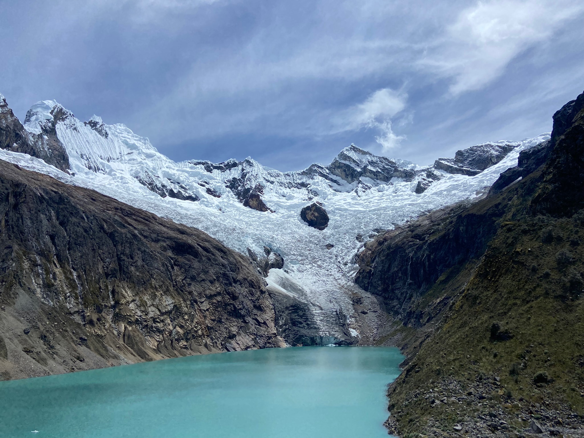
20km | +500m | 6h30The day follows one of the hike's most iconic stretches. You pass near Alpamayo base camp, considered by many the world's most beautiful mountain, and reach laguna Arhuaycocha, a spectacular place surrounded by great walls of ice and rock. From here, there are also outstanding views of Artesonraju, whose silhouette inspired the famous Paramount Pictures logo. The trail continues downhill through a broad, rocky valley, passing laguna Jatuncocha before reaching the Llamacorral campsite.
Day 04: Llamacorral (3770 m a.s.l.) – Cashapampa (2970 m a.s.l.)
10km | +100m | 3h30On this gentler final day, the hike follows río Santa Cruz downhill to the village of Cashapampa.

Map
 Map of Santa Cruz — imagen pendiente
Trails can change. Follow the map attentively and with care.
Similar options
 Moderate



 Moderate
 Moderate
 Moderate
 Moderate
 Moderate
 Moderate
 Moderate
 Moderate
 Moderate
 Moderate
 Moderate
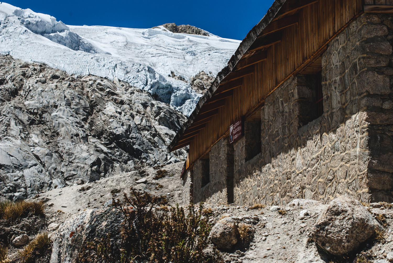 Moderate
Vivaque Giordano Longoni
High-altitude bivouac beside Laguna Ishinca
4 km
2h30
580 m