 Ishinca–Cojup — photo pending
 Ishinca–Cojup — photo pending
 Ishinca–Cojup — photo pending
 Ishinca–Cojup — photo pending
Ishinca–Cojup
35 km Distance
2100 m Elevation gain
3 days Duration
Moderate Difficulty

Recommended
May - September but it can be done all year round
Ideal for
beautiful, varied landscapes with few people.
Access
Tour or shared minibus + taxi.How to get there
From Huaraz
Take a taxi or private transport towards Pashpa.
1h20
towards Carhuaz, entering quebrada Ishinca at the entrance to Paltay and continuing to Laguna Cochapampa near Pashpa.
Cojup
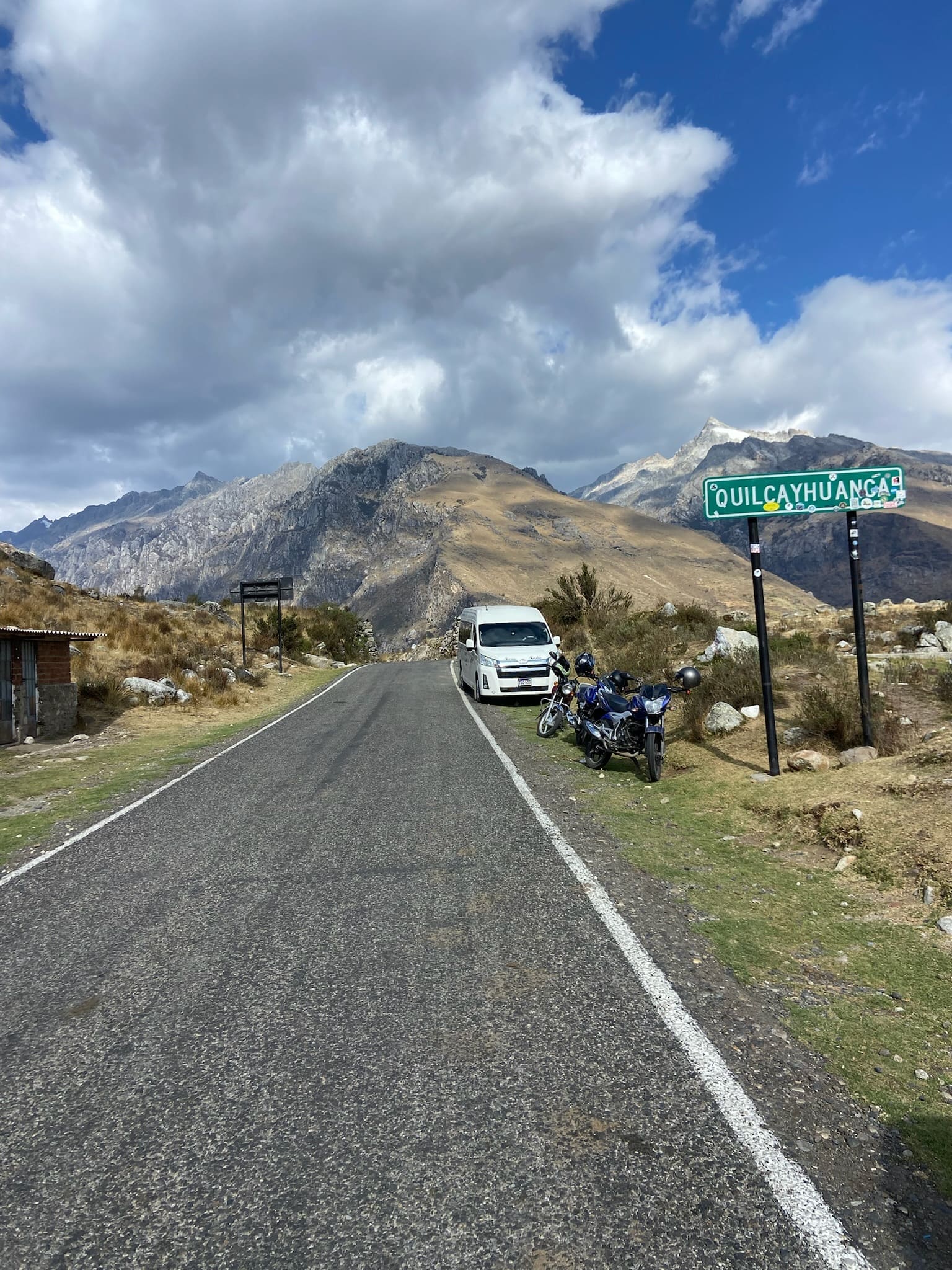
Arrange transport in advance and wait for a shared minibus at Cruz Interoceánica (beside the sign), or ask to be picked up at the Cojup checkpoint (shared minibus or taxi).
50 min
Approximately, to Huaraz (40min from Cruz Interoceánica).

Description
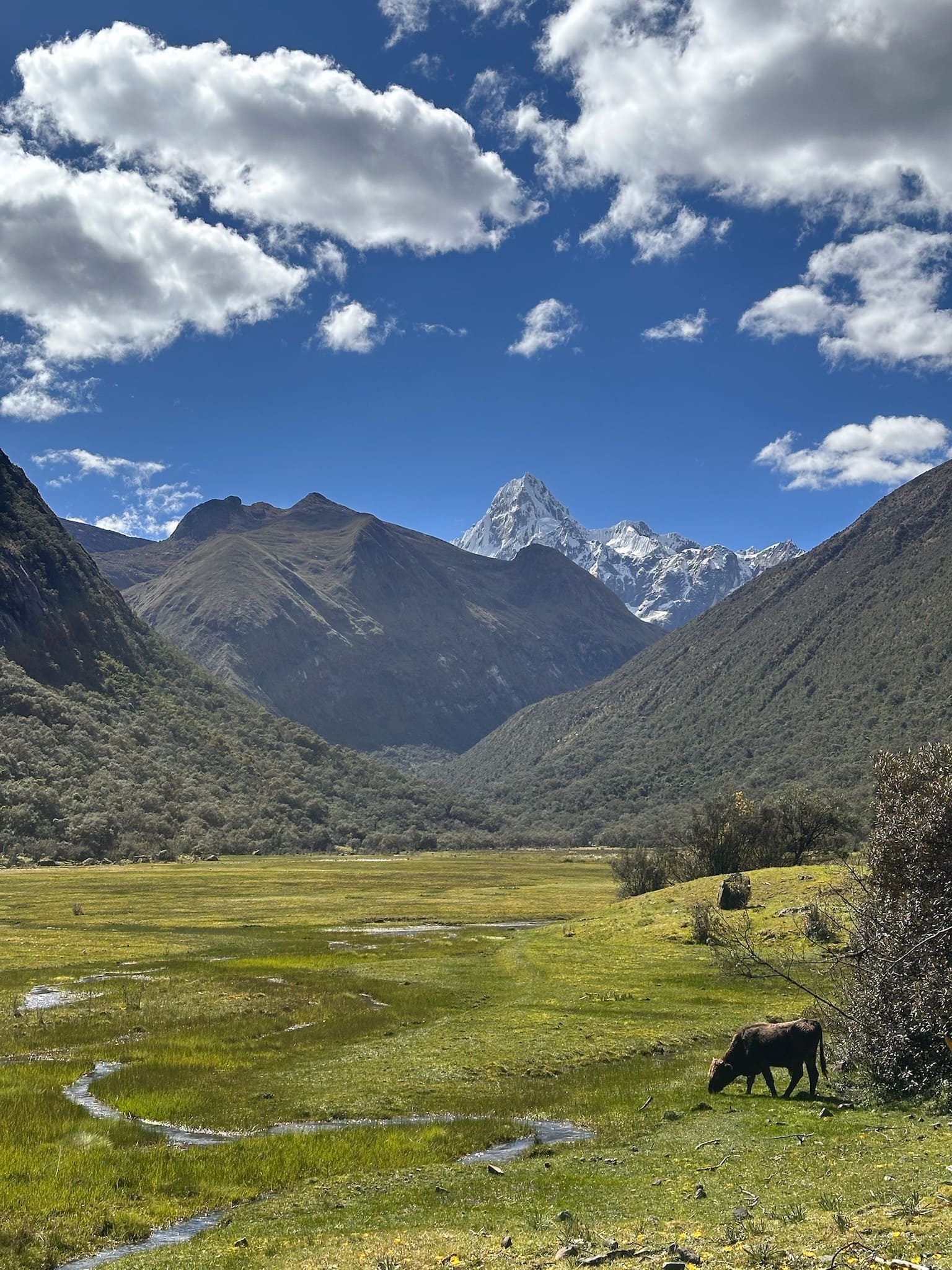
The Ishinca to Cojup traverse is a spectacular route connecting two of the Cordillera Blanca's most iconic valleys, offering a varied and quiet journey, especially on the Cojup side.
One of its main attractions is its flexibility: rather than a fixed route, it acts as a connecting corridor that lets you extend the trip towards Akilpo or Quilcayhuanca, or even combine it with ascents of accessible peaks such as Ishinca or Urus. This variety makes it a comprehensive and adaptable route. It can also be started from either end.
Overall, this traverse stands out for its truly impressive views in surroundings far quieter than the classic circuits.
Itinerary (3 days)
Day 1 Pashpa (3600 m a.s.l.) – Refugio Ishinca (4310 m a.s.l.)
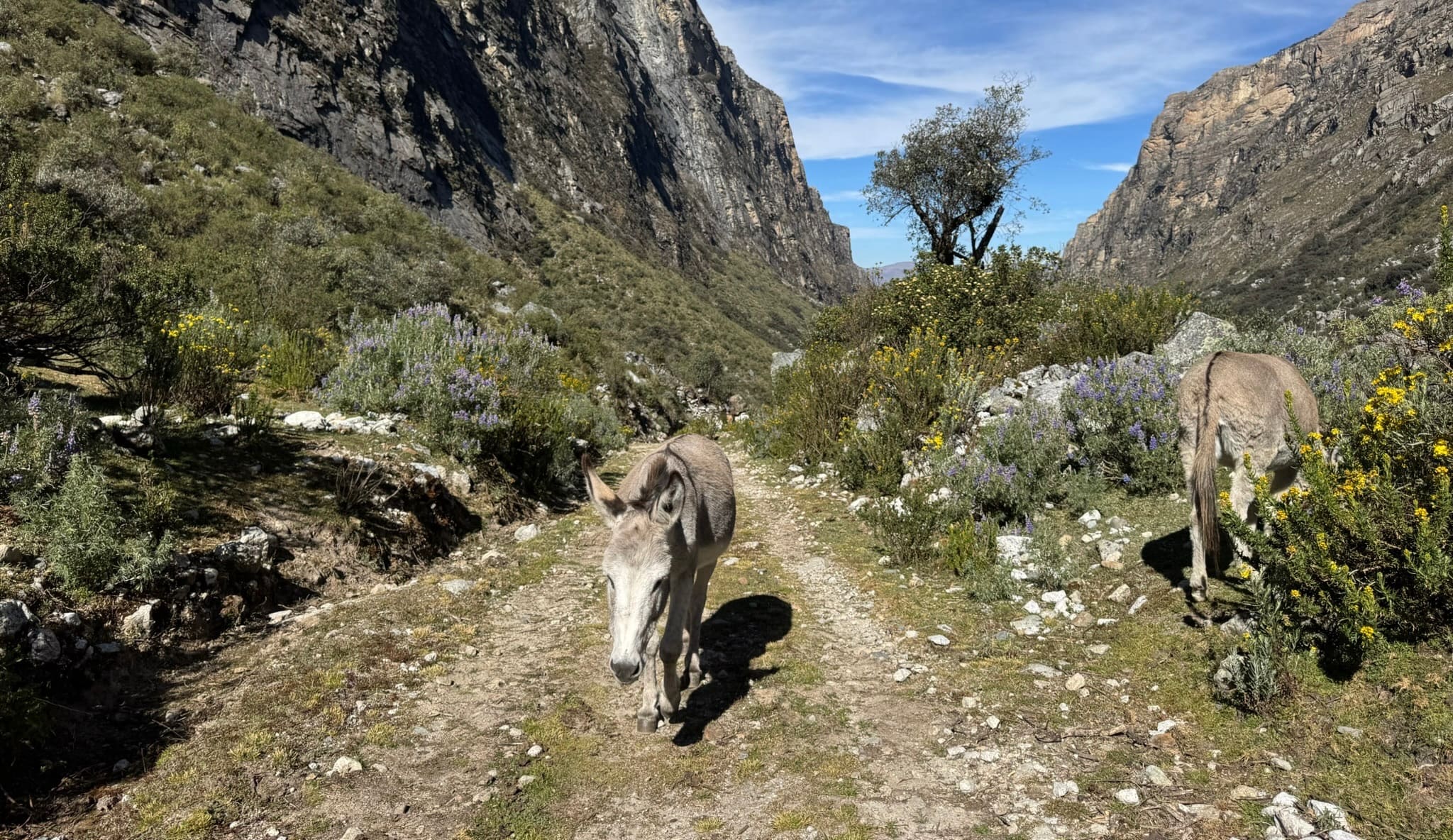
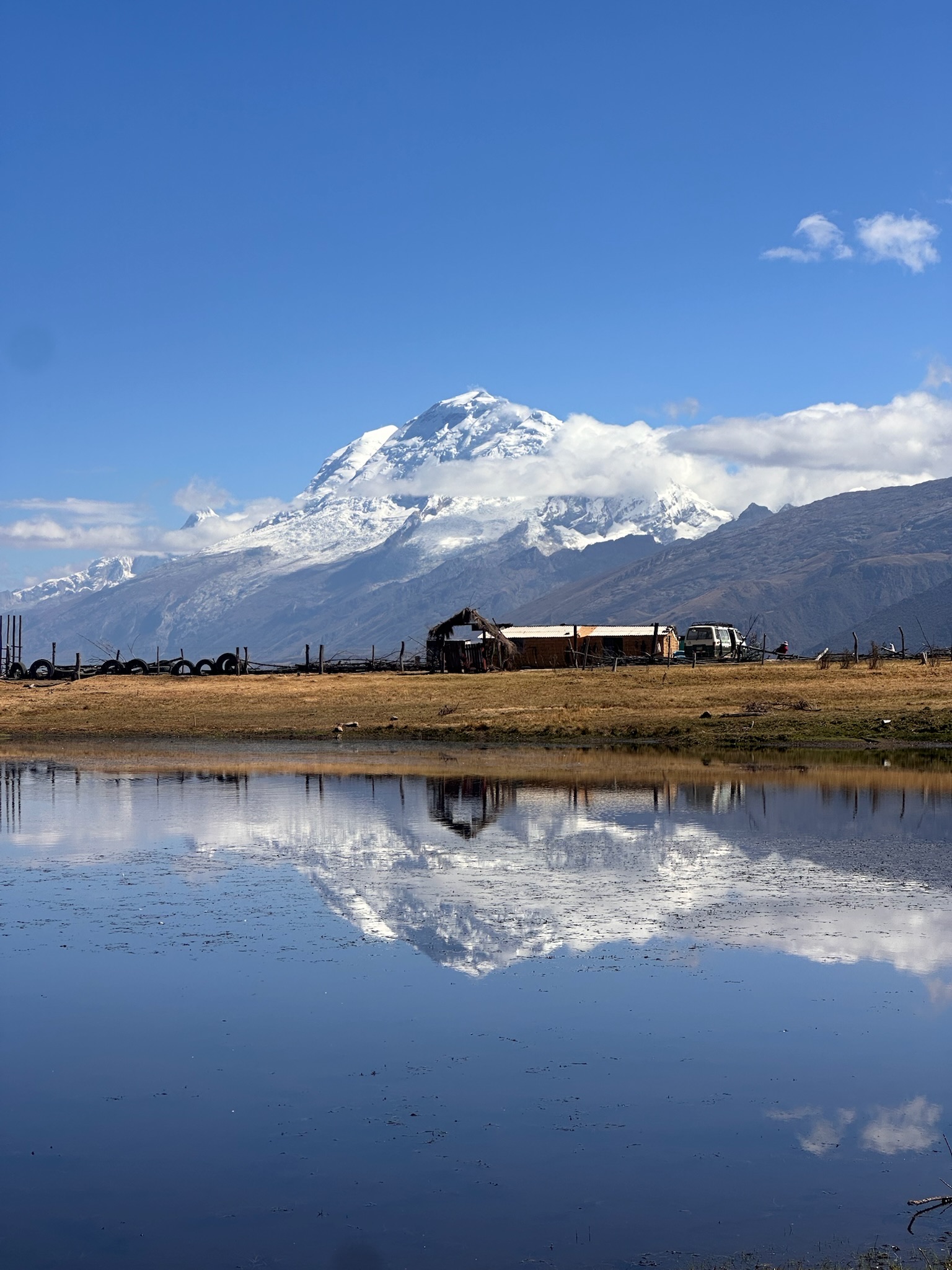
5h | 775m | 11.8kmThe hike begins a little above the village of Pashpa, by laguna Cochapampa, which reflects Huascarán on clear days. The trail first crosses open grassland before entering a queñual forest and then quebrada Ishinca, following the river between imposing vertical rock walls.
As you gain height, the landscape opens again onto broad plains, offering better views of the Ishinca valley's snow-capped peaks, including Tocllaraju, until you reach the refuge and the Ishinca campsite (4350 m).
As an additional option, you can take a detour to laguna Milluacocha,
which offers a spectacular view of Tocllaraju.
Day 2 Refugio Ishinca (4310 m a.s.l.) – Campo Cojup (4300 m a.s.l.)
Paso Ishinca 5h40 | 1000m | 11.5kmCol de Ishinca (Palcaraju with Ishinca) 970 m | 4h40 | 10km
There are two possible passes. The first initially follows the same trail used to climb Ishinca, so it is clearer, although longer and with more elevation gain than the second option. This route also passes Vivaque Longoni beside laguna Ishinca, but the pass usually has a lot of snow (more than the second option), depending on the season and conditions.
The second route crosses further up the Ishinca valley, passing to the right of laguna Tocllacocha before climbing towards the pass known as col de Ishinca, between Ishinca and Palcaraju. From this pass, the descent connects with the Perolcocha area and the other trail.
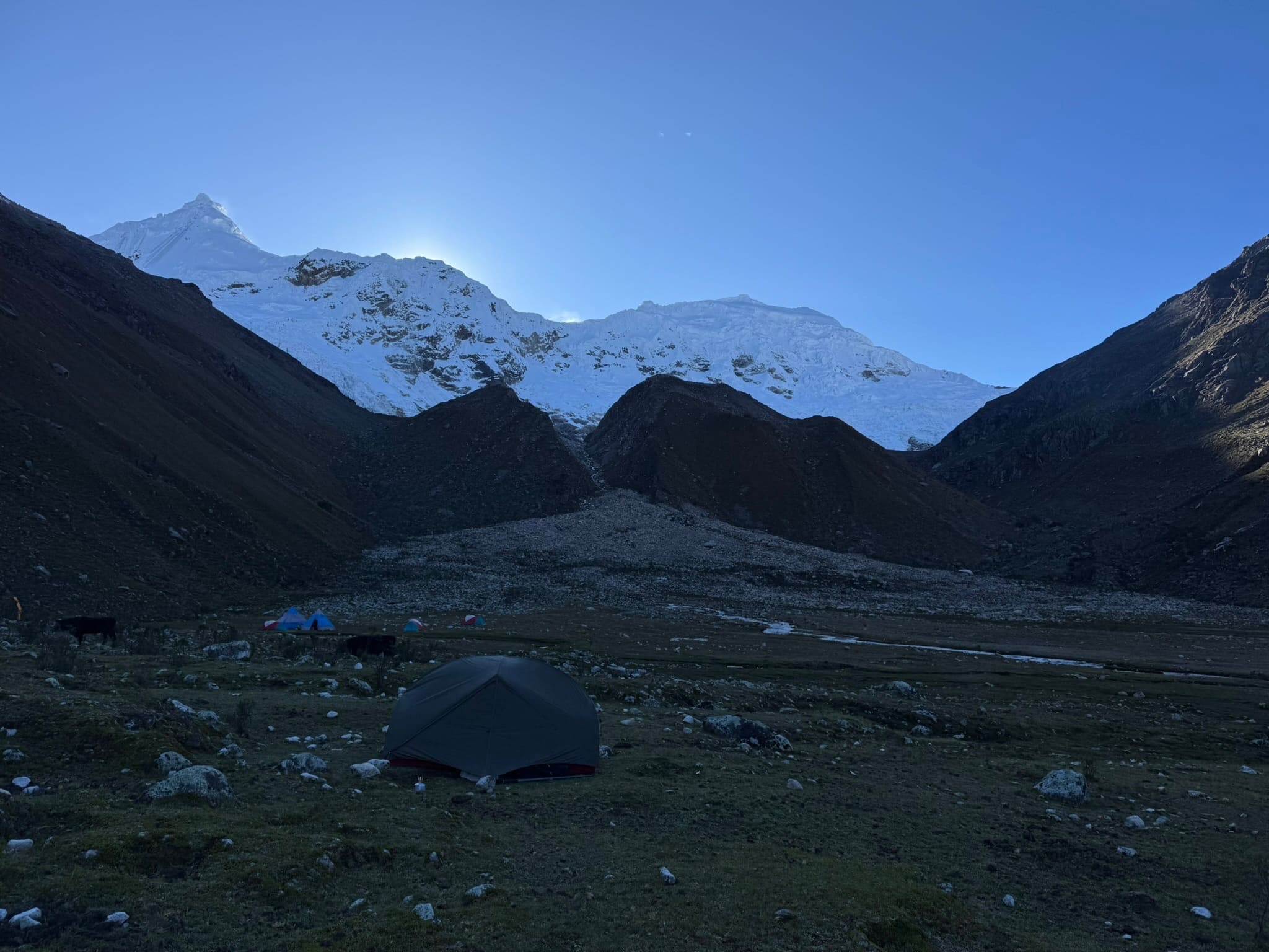
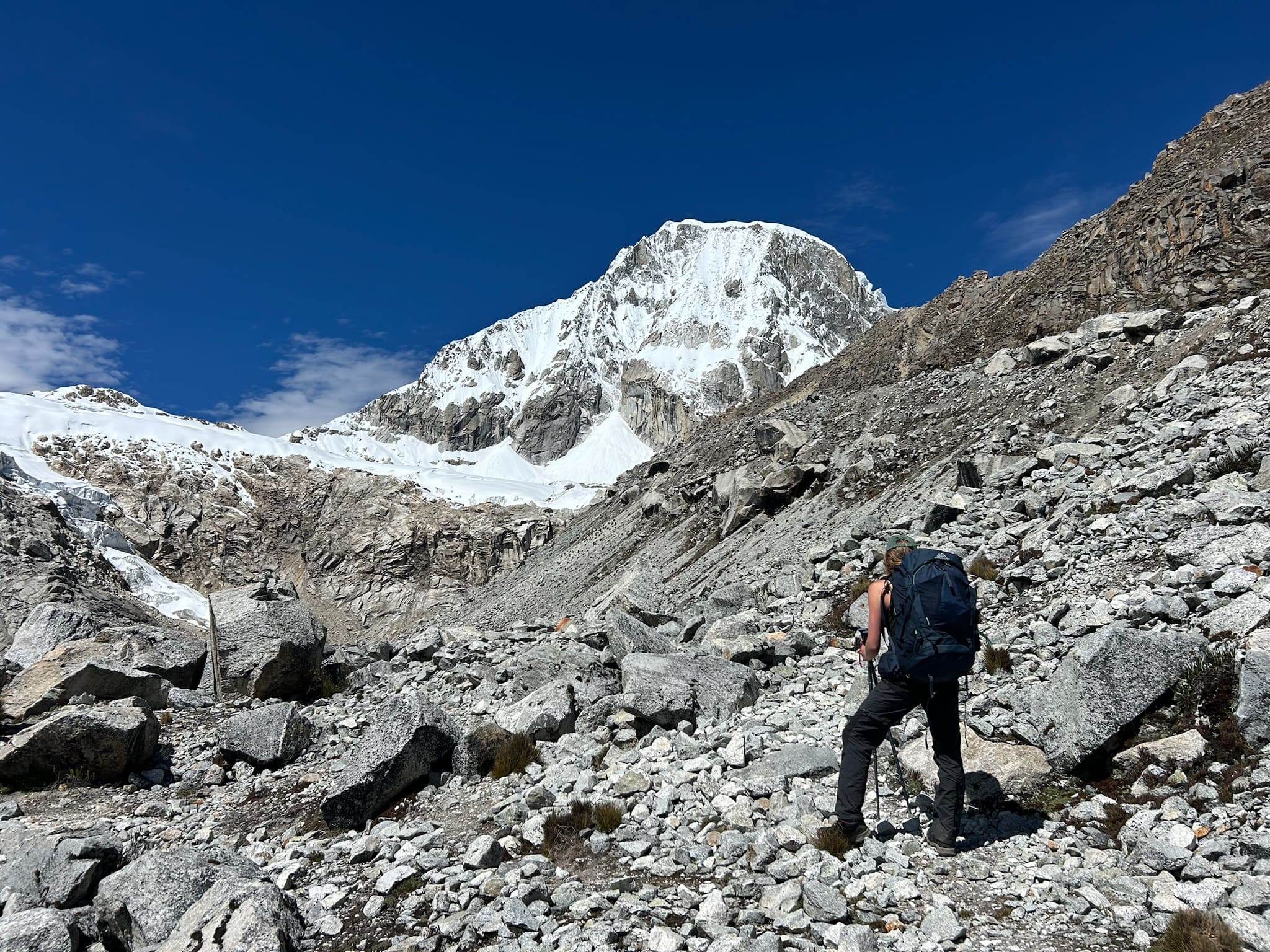
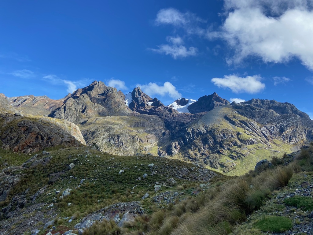
Both passes offer spectacular views of the Cordillera Blanca's great peaks, including Ranrapalca, Palcaraju, Tocllaraju, Urus and the Huascarán massif, as well as the glacial lakes scattered across the valleys on either side.
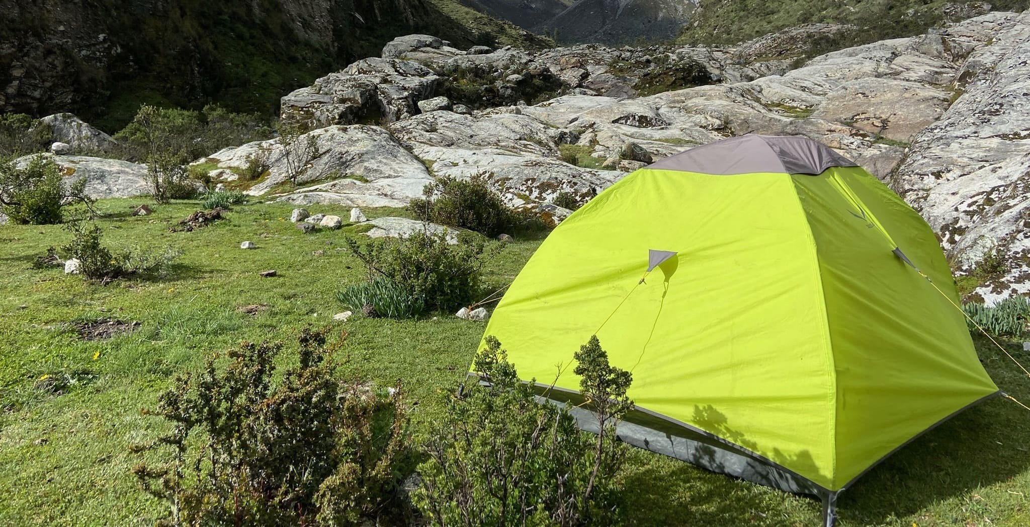
You can also camp lower down the Cojup valley, for example halfway along the route to Palcacocha.
Day 03: Quebrada Cojup (4300 m a.s.l.) – Cruz de Llaca (3830 m a.s.l.)
9.8km | 3h | +160m (to Interoceanica +30min | 1.7km | +20m)There is the option of climbing to laguna Palcacocha, a place as impressive as it is steeped in history: it was the source of the 1941 outburst flood that affected Huaraz, and today, after its volume has increased considerably, it has also become a key location for glacier monitoring. Beyond this, the setting is spectacular, with open, close-up views of Palcaraju and Pucaranra reflected in its turquoise waters.
From the lake, the descent continues along the river through the whole quebrada de Cojup, on a long but gradual walk that steadily loses height, until it reaches Cruz de Llaca (one of the park entrances) or the junction with carretera Interoceánica, depending on your transport.

Map
 Map of Ishinca–Cojup — imagen pendiente
Trails can change. Follow the map attentively and with care.
Similar options
 Moderate



 Moderate
 Moderate
 Moderate
 Moderate
 Moderate
 Moderate
 Moderate
 Moderate
 Moderate
 Moderate
 Moderate
 Moderate
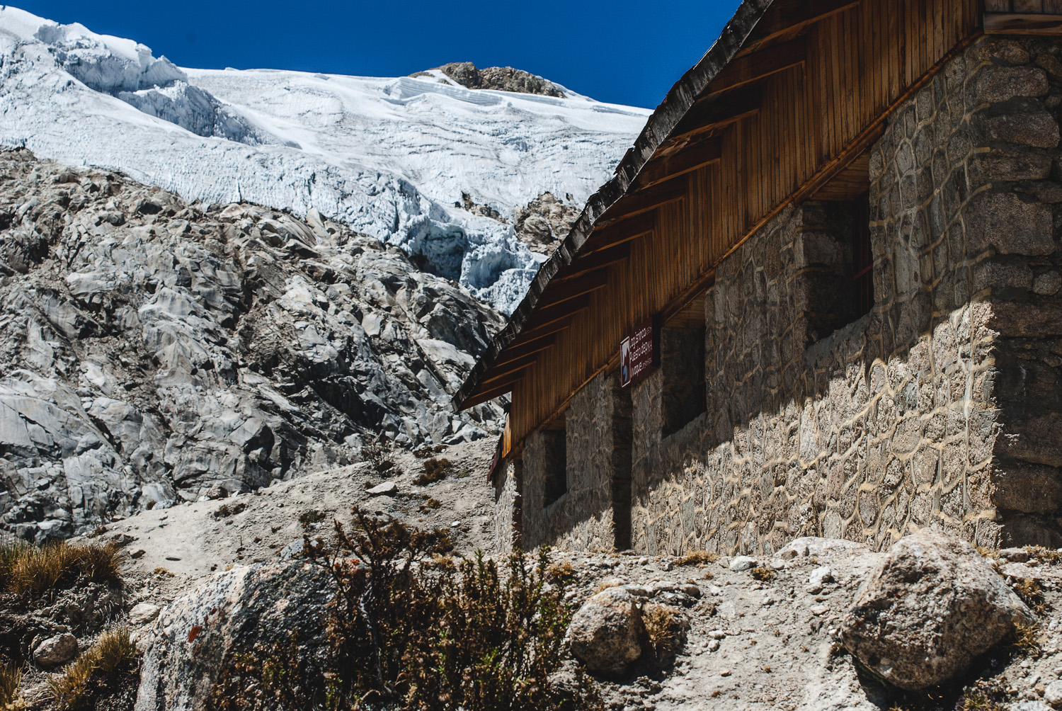
Vivaque Giordano Longoni
High-altitude bivouac beside Laguna Ishinca
4 km
2h30
580 m