

3926 m a.s.l.
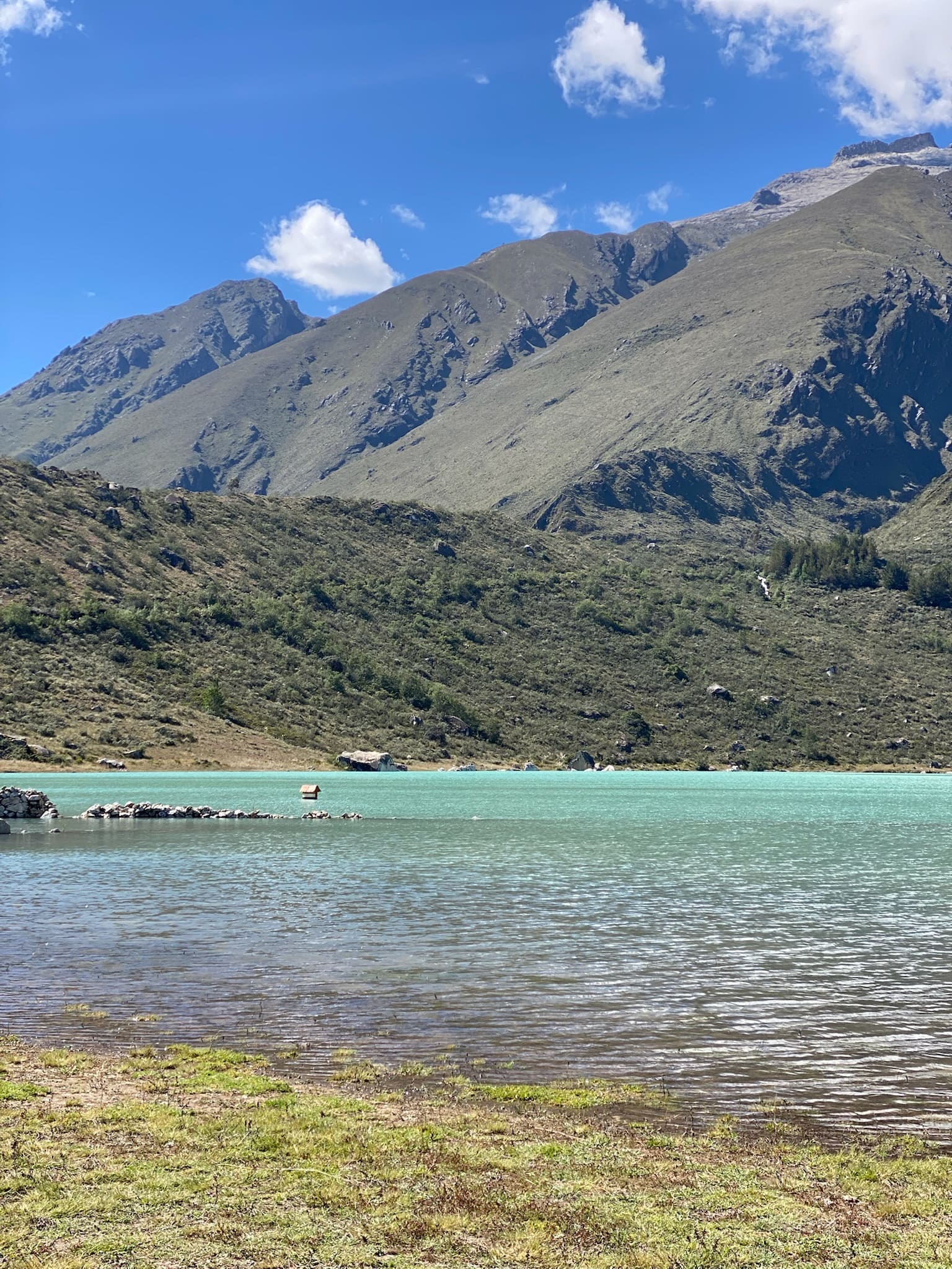
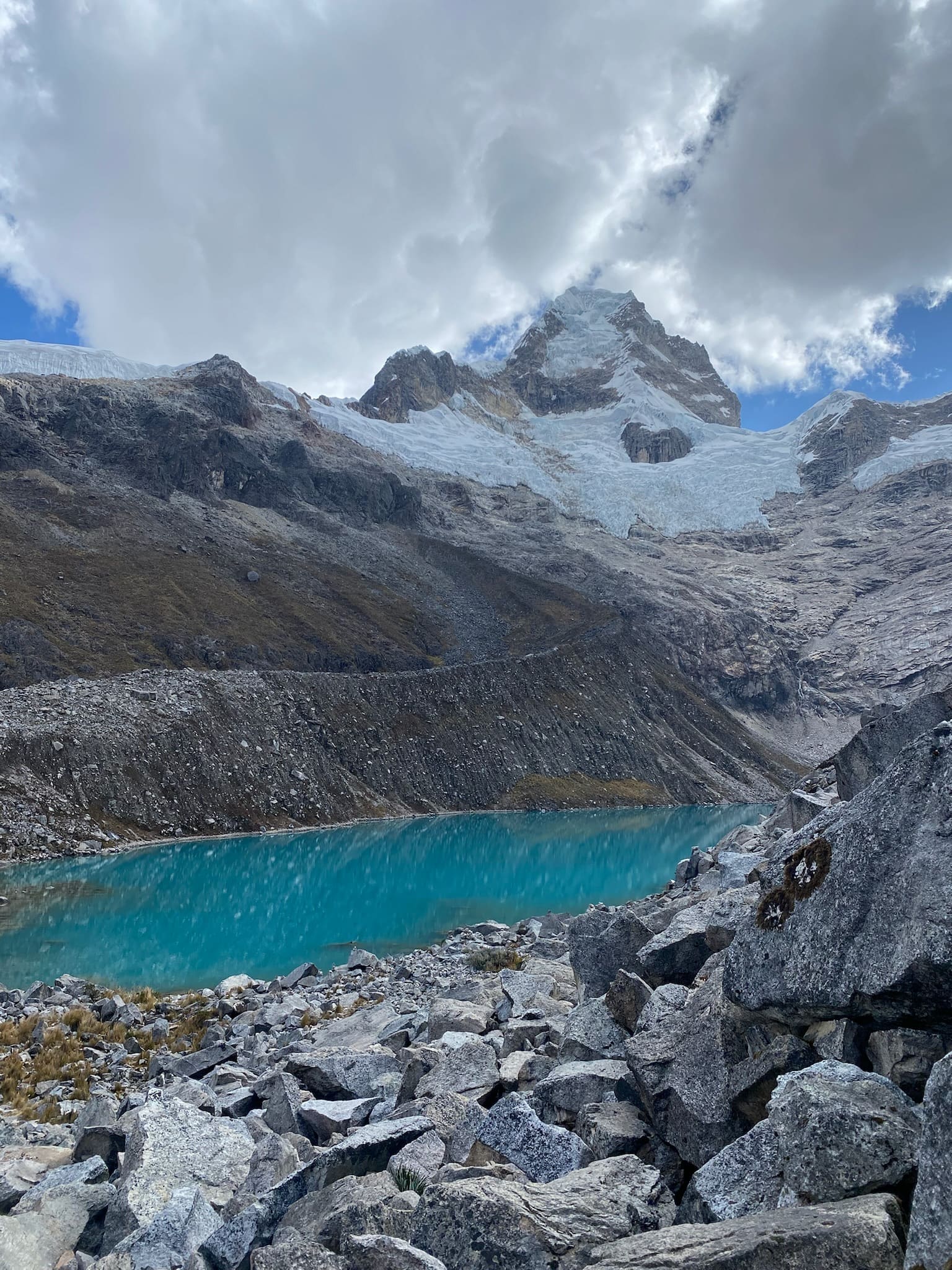
Laguna Antacocha
2 km Distance
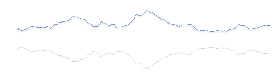
30 m Elevation gain
30 min Duration
Easy Difficulty
Recommended
May–Septemberbut it can be done all year round.
Ideal for
a relaxed day with family or friends.
Access
Shared minibus + taxi or private car.How to get there

From Huaraz
Take a taxi or private car to the lake. You can also take a shared minibus towards Recuay, get off at the turn-off to Antacocha, then walk or take a taxi.

1h20
Approximately, by car from Plaza de Armas.
Laguna de Antacocha
You arrive directly by car.

Start of the trek
Begin the half-hour walk around the lake or to the viewpoint.

Description
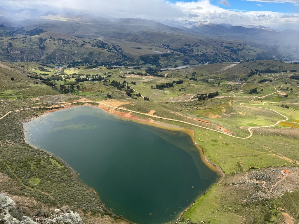
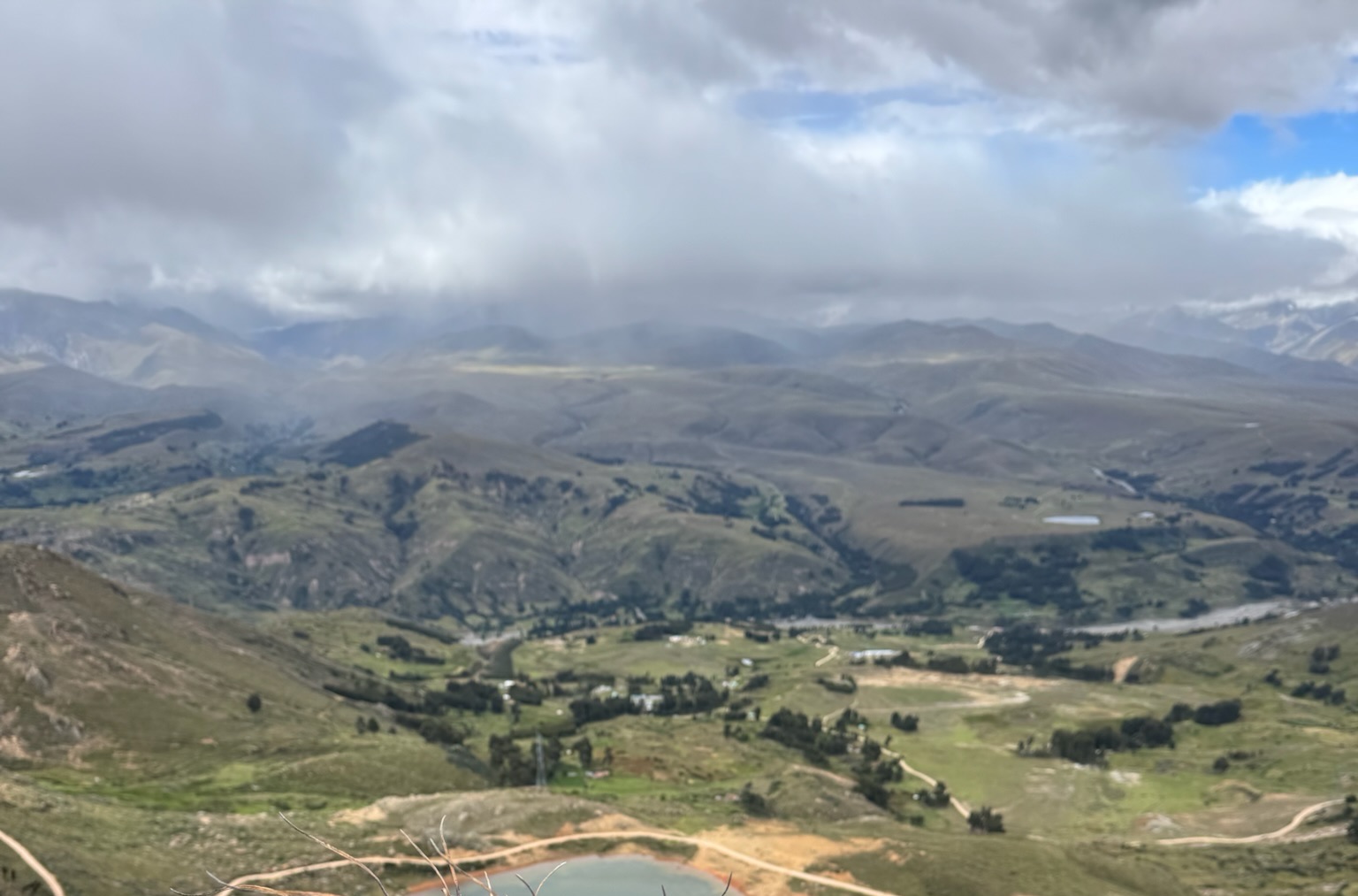
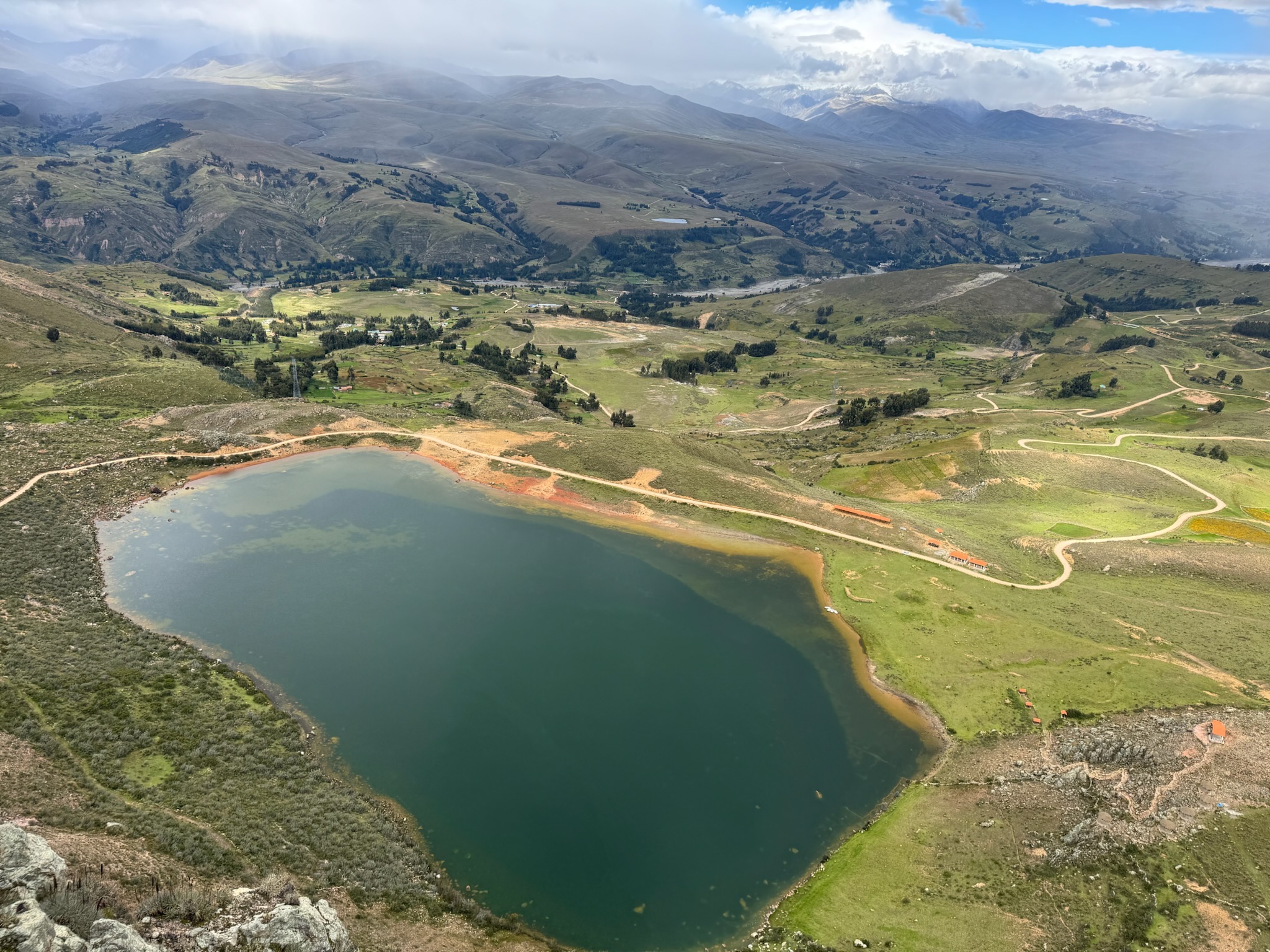
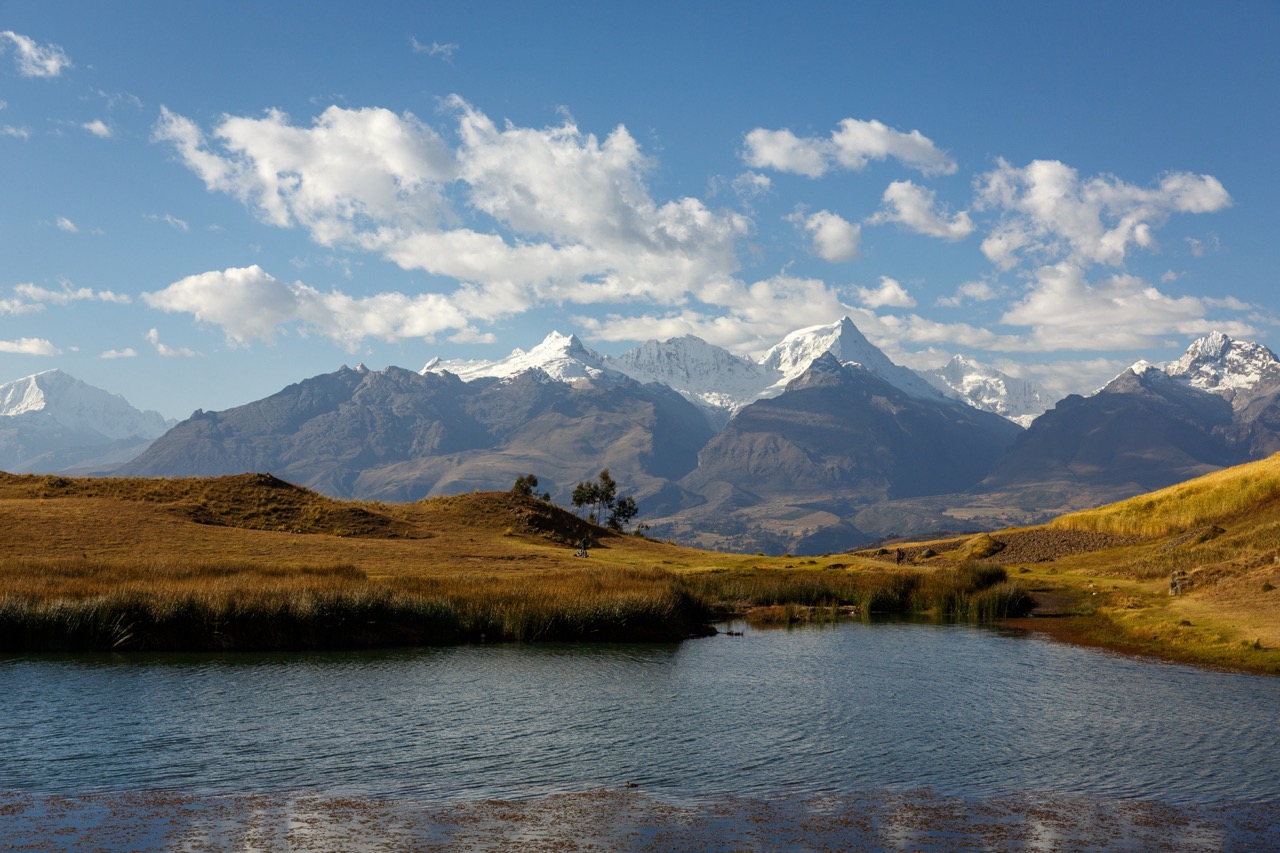
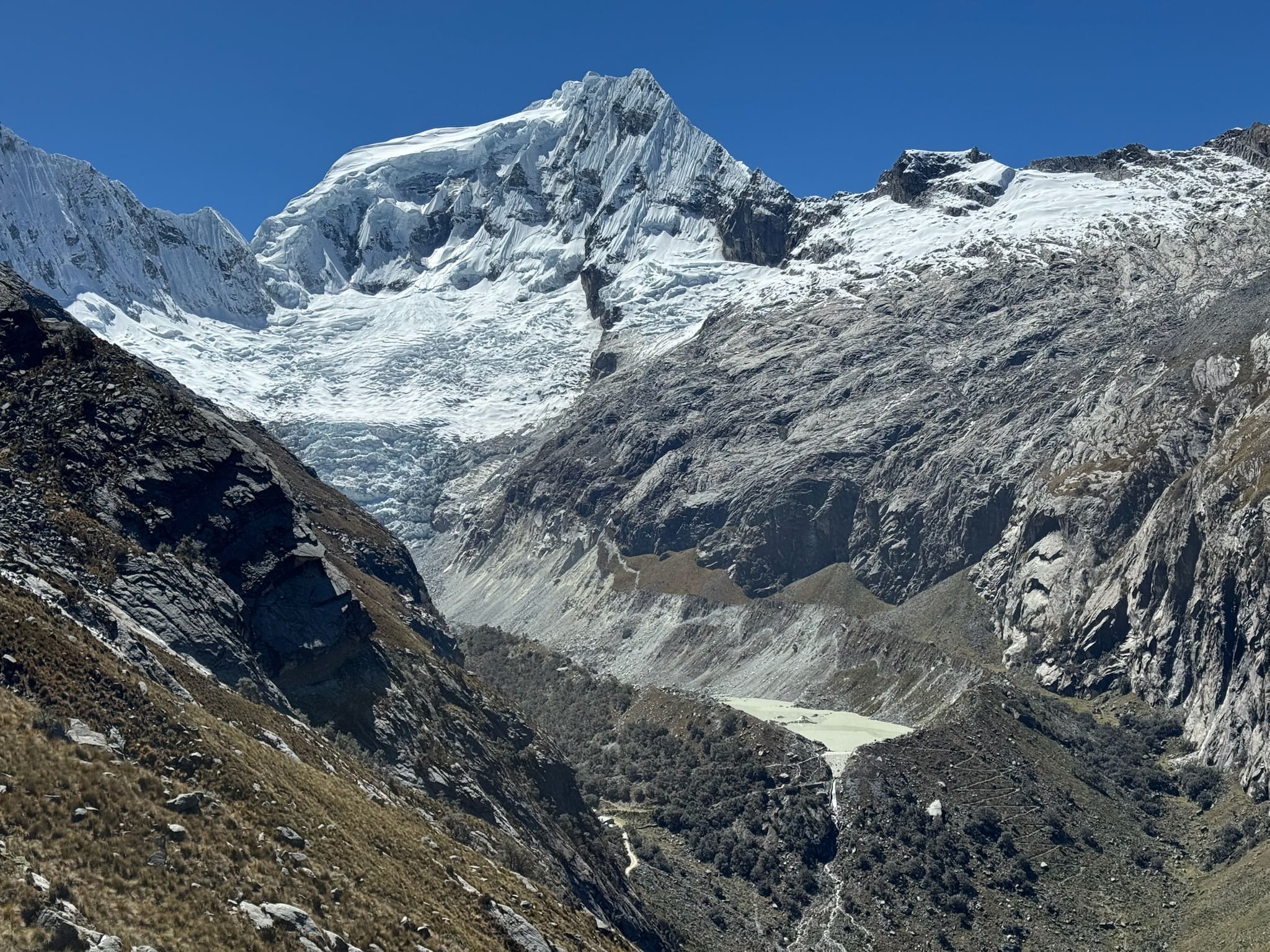
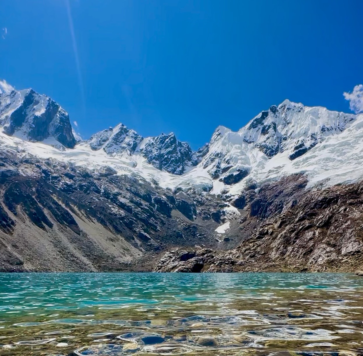
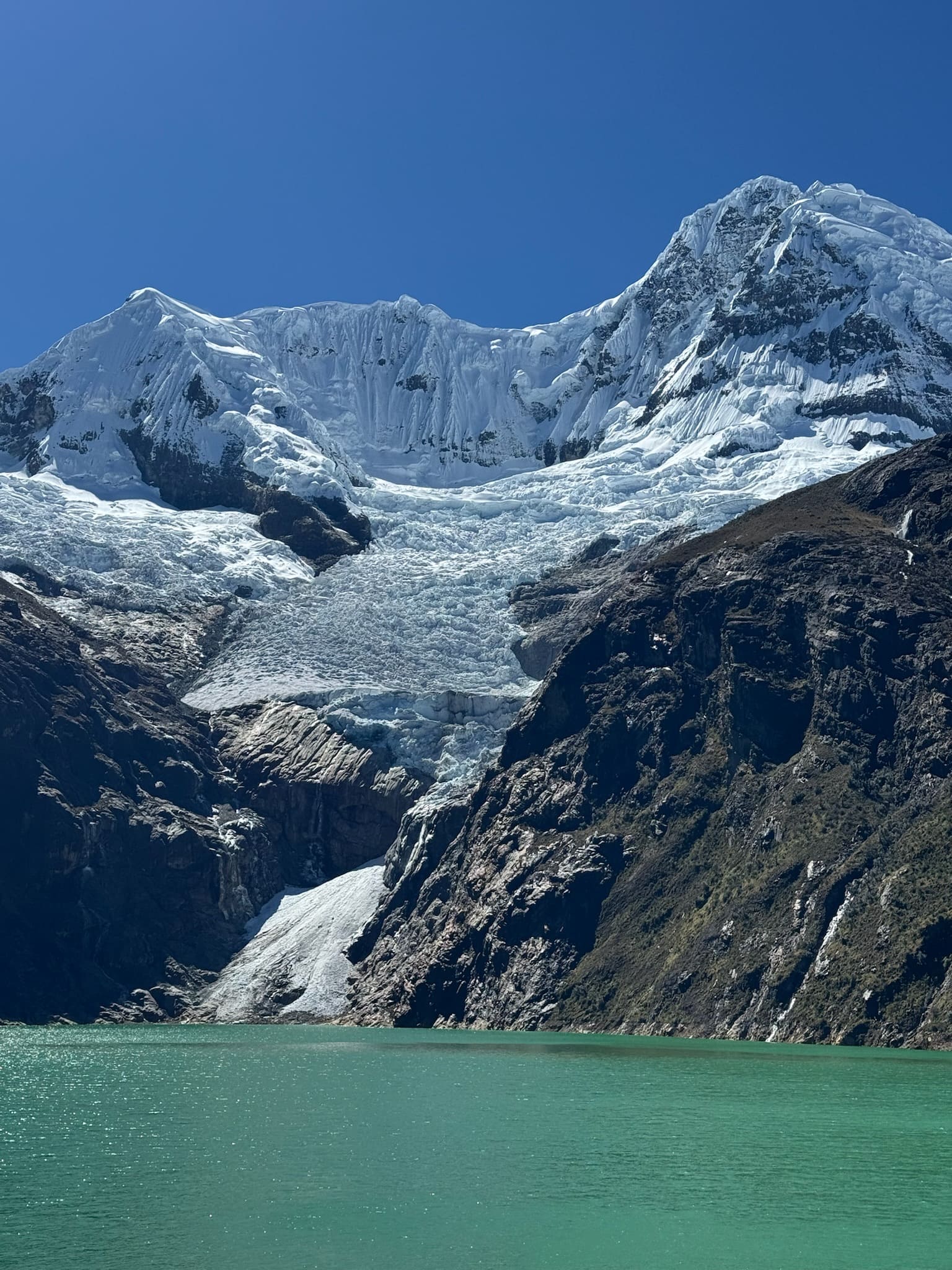
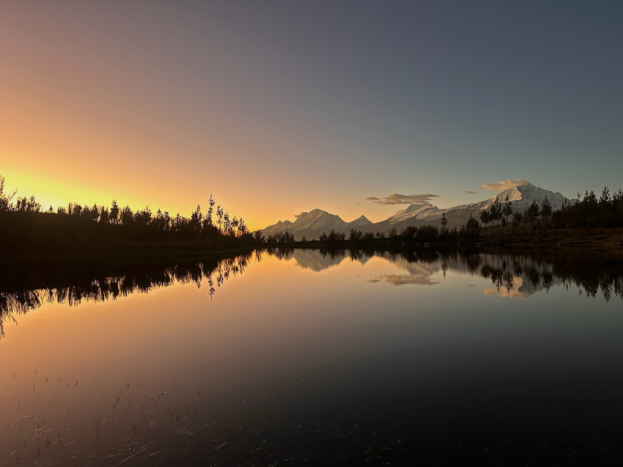
Laguna Antacocha lies in high-Andean grassland, surrounded by small valleys and mountains of the Cordillera Blanca, with views of Shacsha, Rurec and Huantsán. Around the lake, there is a climbing area with sport and multipitch routes, as well as spaces used for camping, paddleboarding and cycling.
Access and management are overseen by the Pampacancha community, which charges an entrance fee. You can drive right up to the lake, making it a convenient option for everyone.
Did you know?
The name Antacocha comes from Quechua, where anta can refer to copper or coppery colours, and cocha means lake.


Flora and fauna
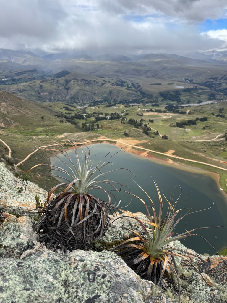
- Ichu
- Andean flowers
- Mosses and lichens
- Livestock
- Andean ducks
- Andean gulls
- Caracaras
Recommendations
Hiking shoes
Cap or hat
Sunglasses
Warm jacket
Rain jacket
Sunscreen
Water
Snacks and/or lunch
Map
Map of Laguna Antacocha
GPS track to be added.
Trails can change. Do not use this space as a navigation guide.
Similar options
 Easy



 Easy
 Easy
 Easy
 Easy
 Easy
 Easy
 Easy
 Easy
 Easy
 Easy
 Easy
 Easy
 Easy
 Easy
 Easy