
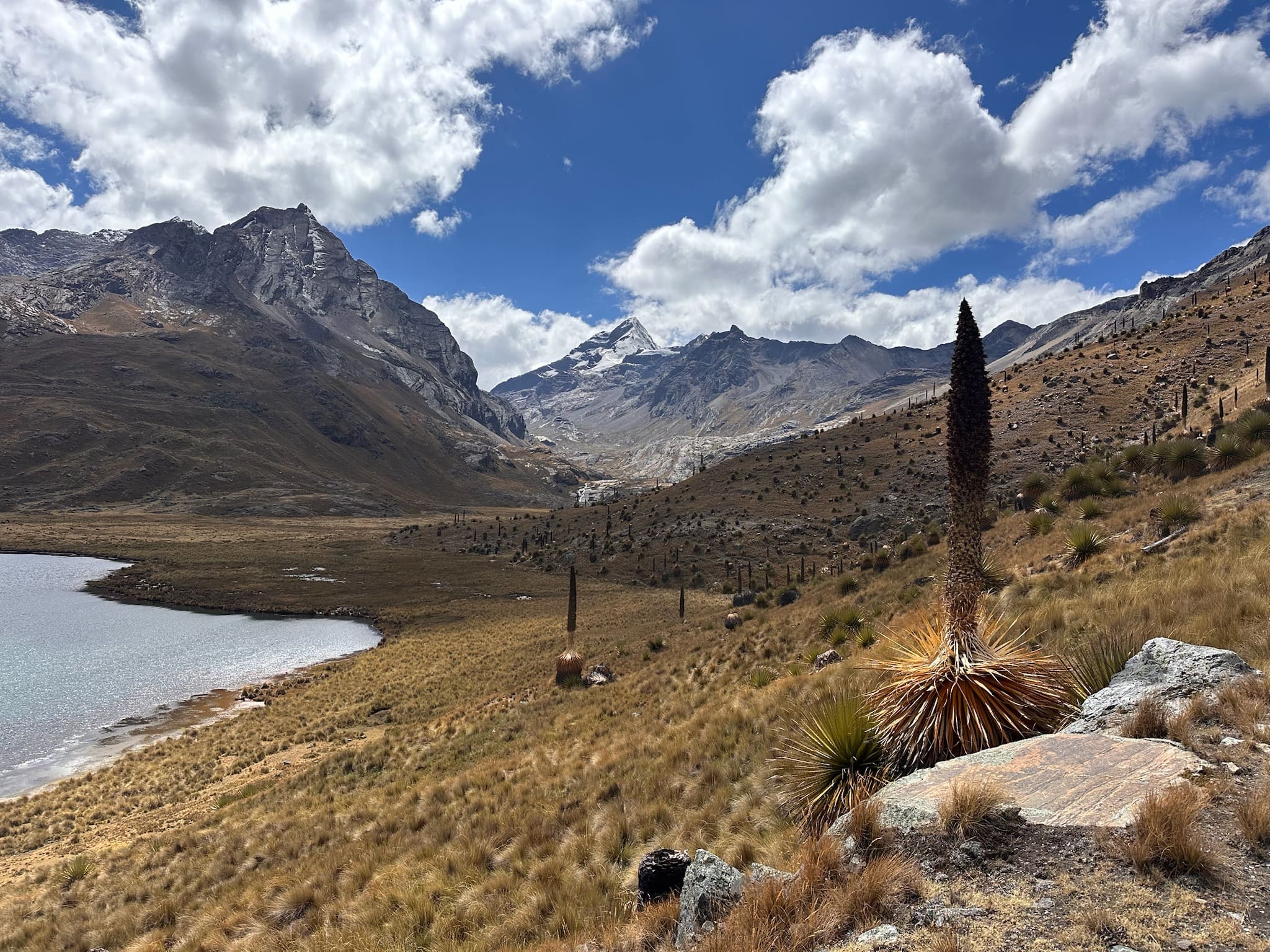
4269 m a.s.l.
Laguna Queshque
6 km Distance
155 m Elevation gain
2h30 Duration
Easy Difficulty
Recommended
May–Septemberbut it can be done all year round.
Ideal for
all ages and exploring the Cordillera Negra
Access
Private car, tour or shared minibus + taxi.How to get there

From Huaraz
Take the road south via Recuay and Catac, where there is a turn-off towards the lake.

2h10
Approximately, by car, passing rural communities and views of the Cordillera Negra.
Laguna Queshque
The road climbs directly to the lake, part of Parque Nacional Huascarán.

Start of the trek
Begin exploring the shore, or walk to Jarapococha.

Description
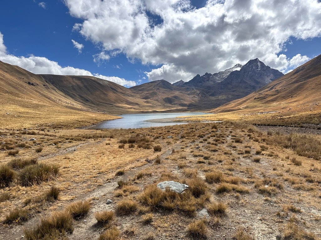
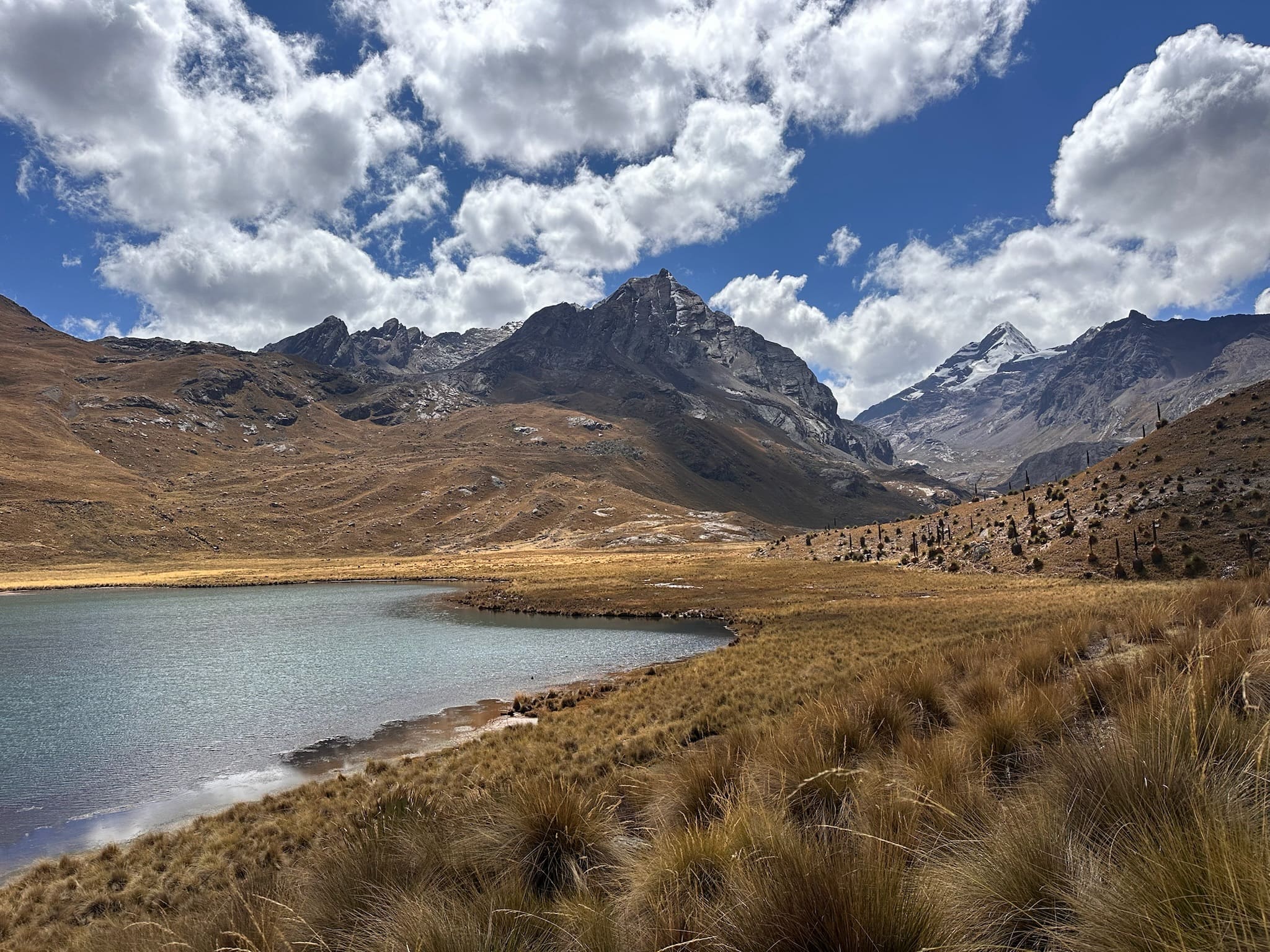
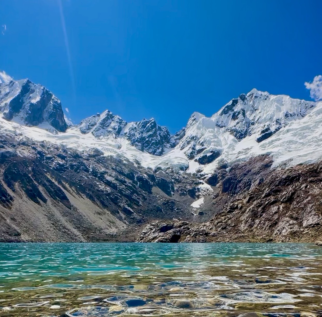
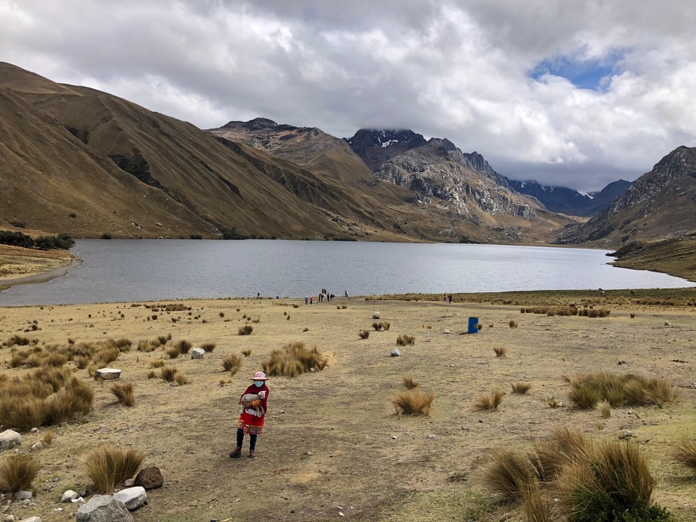
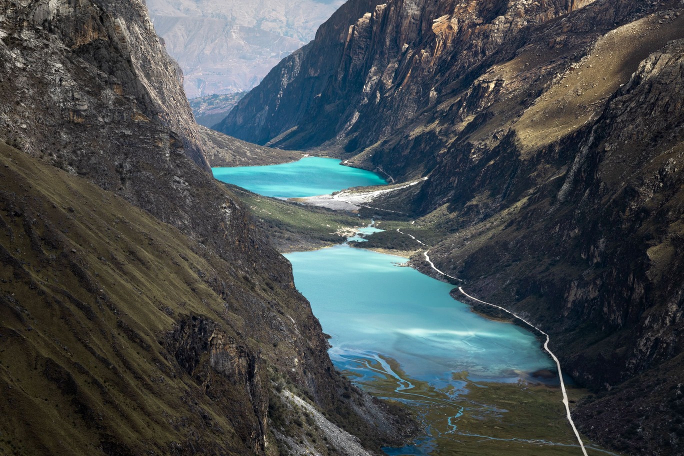
Laguna Queshque (or Gueshgue) lies in the remote Queshque valley near Cátac and offers a very different landscape from the Cordillera Blanca's better-known routes. The route crosses open, rugged terrain, passing several lakes where, depending on the season, you may see flamingos and other high-Andean birds.
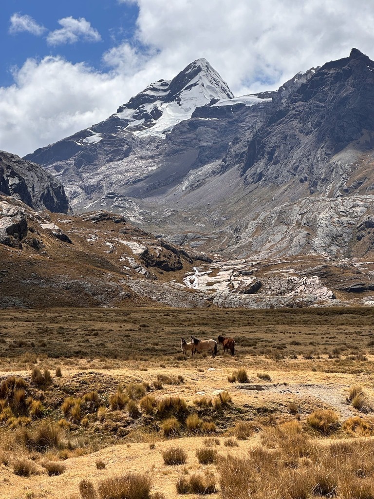
Pongos (5,680 m) and Mururaju (5,688 m) rise above the lake. After a short walk, laguna Jarapococha appears, surrounded by one of the region's largest stands of puya Raimondii, with flamingos depending on the season. You can also continue further into the valley, where the landscape becomes wilder, for example to laguna Pamparaju (4650 m a.s.l.) (from Jarapococha add 11 km | +460 m | 3h30).
The route's main attraction is its impressive puya Raimondii plants, known as the Queens of the Andes. They are the world's largest bromeliads—belonging to the same family as the pineapple—and can reach 15 metres in height. Their most remarkable feature is their flowering: in just three months they can produce more than 8,000 flowers, but they flower only once in their lifetime and then die. Because of its limited distribution and habitat loss, the species is endangered. Seeing these enormous plants growing together makes the route particularly impressive.
Did you know?
Laguna Queshque is fed by waters from Jarapococha (4300 m a.s.l.), Pamparaju (4650 m a.s.l.) and the Queshque glacier (5622 m a.s.l.). The Queshque glacier is also one of the glaciers monitored by INAIGEM since 2013.
Flora and fauna
- Puya Raimondi
- Cacti
- Ichu
- Andean flowers
- Flamingos
- Hummingbirds
- Andean ducks
- Coots
- Livestock
Recommendations
Hiking shoes
Cap or hat
Sunglasses
Warm jacket
Rain jacket
Sunscreen
Water
Snacks and/or lunch
Map
Map of Laguna Queshque
GPS track to be added.
Trails can change. Do not use this space as a navigation guide.
Similar options
 Easy



 Easy
 Easy
 Easy
 Easy
 Easy
 Easy
 Easy
 Easy
 Easy
 Easy
 Easy
 Easy
 Easy
 Easy
 Easy